- Home
- :
- All Communities
- :
- Products
- :
- Data Management
- :
- Data Management Questions
- :
- Coordinate question
- Subscribe to RSS Feed
- Mark Topic as New
- Mark Topic as Read
- Float this Topic for Current User
- Bookmark
- Subscribe
- Mute
- Printer Friendly Page
- Mark as New
- Bookmark
- Subscribe
- Mute
- Subscribe to RSS Feed
- Permalink
I have some data in Michigan State Plane NAD83 in International feet. Does anyone know if this is accounted for when adding this data set to a map in Michigan State Plane 83 in USfeet?
Regards,
Jim
Solved! Go to Solution.
Accepted Solutions
- Mark as New
- Bookmark
- Subscribe
- Mute
- Subscribe to RSS Feed
- Permalink
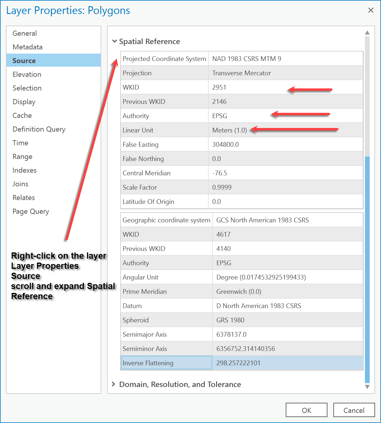
Yes, when we unproject/project data, we look at the actual unit that are listed in the coordinate system definition. The false easting/false northing values must be in the same unit so if you compare the int'l ft and US survey ft definitions, you should see slightly different numbers.
Melita
- Mark as New
- Bookmark
- Subscribe
- Mute
- Subscribe to RSS Feed
- Permalink
If they do have a different code EPSG code, I presume they would project on the fly
- Mark as New
- Bookmark
- Subscribe
- Mute
- Subscribe to RSS Feed
- Permalink
That is my quandary. The FIPS code is the same, but the units are different. Does arcgis recognize feet_int versus USfeet and account for it?
The data that I have produced and the data that someone else has produced do not align, so I am fishing for the reason.
Regards, Jim
Jim Cousins
GIS Project Scientist
S.S. Papadopulos & Associates, Inc.<http://www.sspa.com/>
7944 Wisconsin Avenue | Bethesda, Maryland 20814
Direct: (301) 500-2271 | Office: (301) 718-8900
[email protected]<mailto:[email protected]>
PRIVILEGED AND CONFIDENTIAL: This email and any attachments are intended only for the addressee(s) and may be confidential, proprietary, privileged, or otherwise protected by law from disclosure or use by a third party. If you are not the intended recipient, please delete this message and its attachments, and destroy any electronic or hard copies that you may have created.
- Mark as New
- Bookmark
- Subscribe
- Mute
- Subscribe to RSS Feed
- Permalink
Isn't the FIPS code a county code (Canadian here, so bear with me).
I was more interested in what the actual coordinate system was for each file. If they were defined the same but differ in placement, then the units and/or datum (nad whatever) would account for the shift).
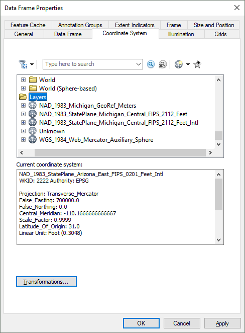
Check via properties
- Mark as New
- Bookmark
- Subscribe
- Mute
- Subscribe to RSS Feed
- Permalink
Yes, when we unproject/project data, we look at the actual unit that are listed in the coordinate system definition. The false easting/false northing values must be in the same unit so if you compare the int'l ft and US survey ft definitions, you should see slightly different numbers.
Melita
- Mark as New
- Bookmark
- Subscribe
- Mute
- Subscribe to RSS Feed
- Permalink
Thank you Melita, this answers my question.
Best Regards,
Jim