Turn on suggestions
Auto-suggest helps you quickly narrow down your search results by suggesting possible matches as you type.
Cancel
- Home
- :
- All Communities
- :
- Products
- :
- Data Management
- :
- Data Management Questions
- :
- Aerial Imagery and Map Cache
Options
- Subscribe to RSS Feed
- Mark Topic as New
- Mark Topic as Read
- Float this Topic for Current User
- Bookmark
- Subscribe
- Mute
- Printer Friendly Page
Aerial Imagery and Map Cache
Subscribe
2379
2
10-21-2013 08:28 AM
by
Anonymous User
Not applicable
10-21-2013
08:28 AM
- Mark as New
- Bookmark
- Subscribe
- Mute
- Subscribe to RSS Feed
- Permalink
Original User: MCline19
I am working on a map cache of some aerial imagery and could use some advise as how to improve the quality of my imagery.
The speed improvement of the map cache is excellent, but I obviously did not choose the optimal Cache Tile Format, as the quality of my aerial imagery greatly decreased from the original quality. View-able here: http://cstx.maps.arcgis.com/home/webmap/viewer.html?webmap=f6849cecf33d4bda810d1bd81cbba48e
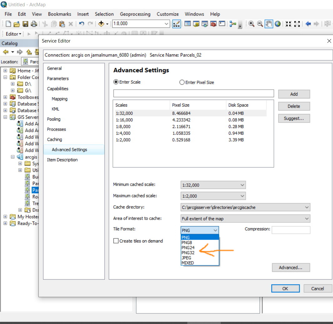
When I created this map cache I used "PNG8" for my Cache Tile Format. I am working with ArcServer and Desktop version 9.3. I have read that JPEG is best for raster imagery; however, I have also read that JPEG does not support transparency and I can not have a black background surrounding the aerial imagery. All these things considered which Cache Tile Format would provide the best image quality without any black background pixels: PNG8, PNG24, PNG32, or JPEG?
The process takes so long to run, I would rather not learn by trial and error. Any help would be greatly appreciated!
I am working on a map cache of some aerial imagery and could use some advise as how to improve the quality of my imagery.
The speed improvement of the map cache is excellent, but I obviously did not choose the optimal Cache Tile Format, as the quality of my aerial imagery greatly decreased from the original quality. View-able here: http://cstx.maps.arcgis.com/home/webmap/viewer.html?webmap=f6849cecf33d4bda810d1bd81cbba48e
When I created this map cache I used "PNG8" for my Cache Tile Format. I am working with ArcServer and Desktop version 9.3. I have read that JPEG is best for raster imagery; however, I have also read that JPEG does not support transparency and I can not have a black background surrounding the aerial imagery. All these things considered which Cache Tile Format would provide the best image quality without any black background pixels: PNG8, PNG24, PNG32, or JPEG?
The process takes so long to run, I would rather not learn by trial and error. Any help would be greatly appreciated!
2 Replies
by
Anonymous User
Not applicable
10-21-2013
09:30 AM
- Mark as New
- Bookmark
- Subscribe
- Mute
- Subscribe to RSS Feed
- Permalink
Original User: nidhinkn
Marie,
The quality of the imagery can be improved by using PNG32. The catching might take more time. Avoid exploded format cache.
Regards,
Marie,
The quality of the imagery can be improved by using PNG32. The catching might take more time. Avoid exploded format cache.
Regards,
01-18-2020
01:54 PM
- Mark as New
- Bookmark
- Subscribe
- Mute
- Subscribe to RSS Feed
- Permalink
Is the PNG32 best for quality (high degree of colors variation) and performance when it comes to caching imageries?
----------------------------------------
Jamal Numan
Geomolg Geoportal for Spatial Information
Ramallah, West Bank, Palestine
Jamal Numan
Geomolg Geoportal for Spatial Information
Ramallah, West Bank, Palestine