- Home
- :
- All Communities
- :
- Products
- :
- Data Management
- :
- Data Management Questions
- :
- Adding z values from points to line
- Subscribe to RSS Feed
- Mark Topic as New
- Mark Topic as Read
- Float this Topic for Current User
- Bookmark
- Subscribe
- Mute
- Printer Friendly Page
Adding z values from points to line
- Mark as New
- Bookmark
- Subscribe
- Mute
- Subscribe to RSS Feed
- Permalink
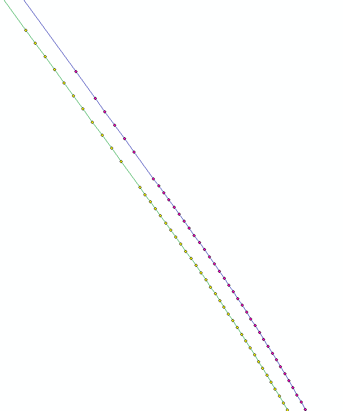
I have two lines (the center line of a tunnel) that lack z values, they are currently just flat lines with start and end xy values. I do have the z values in points - but how do I get the values from the points to the lines? I have the basic license and cannot use the Split Line at Point tool.
I would like the lines to be split at each point and assigned a z value. I have two lines and approximately 400 points, the elevation of the tunnel differs between a few meters below sea level and 90 meters above.
I am using arcmap for desktop 10.3.1
Thanks in advance.
- Mark as New
- Bookmark
- Subscribe
- Mute
- Subscribe to RSS Feed
- Permalink
did you try Points To Line—Help | ArcGIS for Desktop
or in an edit session Snapping points to lines—Help | ArcGIS for Desktop
or what have you tried?
- Mark as New
- Bookmark
- Subscribe
- Mute
- Subscribe to RSS Feed
- Permalink
I have tried Points to line, the result is a line that matches the original line I have, with an attribute table with only objectID, shape and shape length.
Snapping points to line I cannot use unfortunately as I only have the Basic license.
I have tried Spatial join (join one to many), but with around 400 points for each of the two lines this just results in a line with attribute table consisting of around 400 20km rows with different z values.
Thank you for your time, Dan.
- Mark as New
- Bookmark
- Subscribe
- Mute
- Subscribe to RSS Feed
- Permalink
Z values are contained within the Shape field... is the shape field a pointz type? If it is, then you can get the values for Z by adding a field and using the field calculator to retrieve it or use this
- Mark as New
- Bookmark
- Subscribe
- Mute
- Subscribe to RSS Feed
- Permalink
I should have mentioned that I have already added the geometry attributes for the line, the points had them in the attribute table to start with. The line however, is Polyline and not Polyline Z so I cannot fetch elevation data from it.
- Mark as New
- Bookmark
- Subscribe
- Mute
- Subscribe to RSS Feed
- Permalink
Probably, your only solution is to build a polylineZ from the points via arcpy / python.
If you give us a look at your point data, I am sure someone can give you a start to help you do this.
- Mark as New
- Bookmark
- Subscribe
- Mute
- Subscribe to RSS Feed
- Permalink
That would be great, I am not so well-known with the use of python. I have attached the point data to the original question.
- Mark as New
- Bookmark
- Subscribe
- Mute
- Subscribe to RSS Feed
- Permalink
You have left most of your shapefile behind.
There is only the *.shp. Can't do anything with that.
A shapefile has several components *.shp, *.sbx, *.dbf, *.prj and possibly several others.
What do you mean by inbound & outbound?
- Mark as New
- Bookmark
- Subscribe
- Mute
- Subscribe to RSS Feed
- Permalink
Yes, I loaded those files up a bit too quick I see. Inbound and Outbound are just the names of the two lines.
- Mark as New
- Bookmark
- Subscribe
- Mute
- Subscribe to RSS Feed
- Permalink
It would be useful if you zipped the shapefile bits as one file so people don't have to download and unzip the individual components