- Home
- :
- All Communities
- :
- User Groups
- :
- Coordinate Reference Systems
- :
- Questions
- :
- problem with the dissolve function
- Subscribe to RSS Feed
- Mark Topic as New
- Mark Topic as Read
- Float this Topic for Current User
- Bookmark
- Subscribe
- Mute
- Printer Friendly Page
problem with the dissolve function
- Mark as New
- Bookmark
- Subscribe
- Mute
- Subscribe to RSS Feed
- Permalink
Hi!
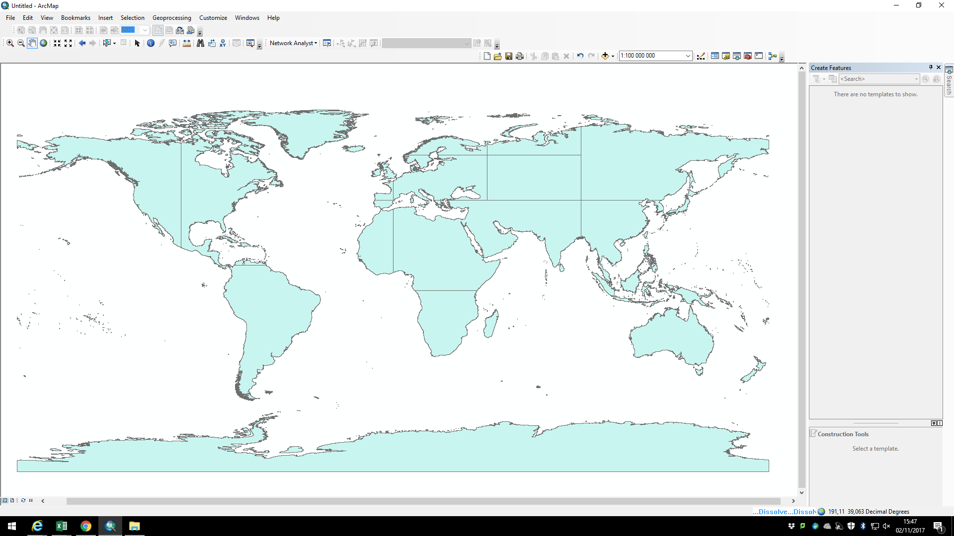
I tried to use the dissolve function but that is the output (picture). The input for a map of the world with national borders, and my intention was to create to create the same map of the world without country's boundaries. Thank you.
- Mark as New
- Bookmark
- Subscribe
- Mute
- Subscribe to RSS Feed
- Permalink
If it is meant for Visualization purpose, you could go to symbology of the layer, and choose "No Color" for Outline.
Think Location
- Mark as New
- Bookmark
- Subscribe
- Mute
- Subscribe to RSS Feed
- Permalink
Cannot you see that the tool created some polygons? I just wanted to have an unique entity,
- Mark as New
- Bookmark
- Subscribe
- Mute
- Subscribe to RSS Feed
- Permalink
When you use Dissolve or a few such Geoprocessing tools on huge datasets, they undergo tiled processing, resulting in such output.
Tiled processing of large datasets—Appendices | ArcGIS Desktop
Dicing Godzillas (features with too many vertices) | ArcGIS Blog
So either you Dissolve the above layer (with tile boundaries) again.
or Merge the features in the layer by selecting all the features.
Think Location
- Mark as New
- Bookmark
- Subscribe
- Mute
- Subscribe to RSS Feed
- Permalink
Thank you for the suggestion. I attempted to dissolve again, but it was taking too much time so I gave up. I thought I might reduce the quality of the map while keeping the original state's boundaries; what is your opinion?
- Mark as New
- Bookmark
- Subscribe
- Mute
- Subscribe to RSS Feed
- Permalink
I won't suggest compromising with the quality of map.
Try running it using Python Script. That would be faster.
See the code sample for the python script
Think Location
- Mark as New
- Bookmark
- Subscribe
- Mute
- Subscribe to RSS Feed
- Permalink
By the way, did you try Merge (Editing), as I mentioned above. If not, give it a try. (Keep a backup of the original data before executing Merge).
Think Location
- Mark as New
- Bookmark
- Subscribe
- Mute
- Subscribe to RSS Feed
- Permalink
If the outline of the polygons are bothering you, change the symbology of the patch to have an outline thickness of 0 (zero) in other words, no outline, just a fill color. It might look ok
- Mark as New
- Bookmark
- Subscribe
- Mute
- Subscribe to RSS Feed
- Permalink
That's what I said in my first comment. GB didn't like it.
Think Location
- Mark as New
- Bookmark
- Subscribe
- Mute
- Subscribe to RSS Feed
- Permalink
ahhh missed that! That would be the obvious solution