- Home
- :
- All Communities
- :
- User Groups
- :
- Coordinate Reference Systems
- :
- Questions
- :
- Re: My layers appear too far after defining projec...
- Subscribe to RSS Feed
- Mark Topic as New
- Mark Topic as Read
- Float this Topic for Current User
- Bookmark
- Subscribe
- Mute
- Printer Friendly Page
My layers appear too far after defining projection
- Mark as New
- Bookmark
- Subscribe
- Mute
- Subscribe to RSS Feed
- Permalink
Hello everyone, I have a question. I need to do some spatial adjustment on a layer importing from Shapefile. However, because the shapefile doesn't have correct Geographic Coordinate System, I used Define projection to change it to GCS WGS 1984. But when I do that and add a basemap suddenly the layer doesn't appear on the map anymore. It just disappear. If I changed the layer back to unknown GCS, then I can see it again. How can give it right projection and still be able to see it, so I can do some spatial adjustment on it.
Please help me please. This is very important.
Solved! Go to Solution.
Accepted Solutions
- Mark as New
- Bookmark
- Subscribe
- Mute
- Subscribe to RSS Feed
- Permalink
If you are able to define projection and get the points where you want, you are good to go. I would't worry about the extent coordinates, the extent displayed is in WGS 1984 Web Mercator, your base map coordinate system.
If you are going to use this layer with any other layer in a different projection system, you can use the project tool to reproject it to your target coordinate system.
- Mark as New
- Bookmark
- Subscribe
- Mute
- Subscribe to RSS Feed
- Permalink
What version of ArcMap are you using?
- Mark as New
- Bookmark
- Subscribe
- Mute
- Subscribe to RSS Feed
- Permalink
Thanks for your reply. I used ArcMap 10.1.
- Mark as New
- Bookmark
- Subscribe
- Mute
- Subscribe to RSS Feed
- Permalink
Did you try adding your base map and shape file in arcmap.
Then using Define Projection tool, import the projection from your base map?
- Mark as New
- Bookmark
- Subscribe
- Mute
- Subscribe to RSS Feed
- Permalink
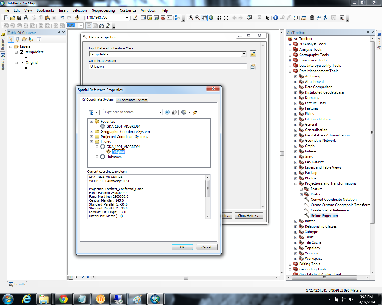
@Riyas Deen, I tried your solution and the points still appear but if you look at the coordinates, they don't look right at all.
Please check this image: http://screencast.com/t/rgMhQkQkZLZg
And this video clip: http://screencast.com/t/Gd7p73l1hI
Thanks for your patience. I am new to this.
- Mark as New
- Bookmark
- Subscribe
- Mute
- Subscribe to RSS Feed
- Permalink
If you are able to define projection and get the points where you want, you are good to go. I would't worry about the extent coordinates, the extent displayed is in WGS 1984 Web Mercator, your base map coordinate system.
If you are going to use this layer with any other layer in a different projection system, you can use the project tool to reproject it to your target coordinate system.
- Mark as New
- Bookmark
- Subscribe
- Mute
- Subscribe to RSS Feed
- Permalink
I am trying to get this all in WGS 1984 rather than WGS 1984 Web Mercator. Anyways if there are no other options, I will give it a try. It's off the topic but I would like to quickly ask if you could share. How do I move each point separately rather than all points using spatial adjustment tool? I tried this, but I need to link all points > Set Adjusted Data > Adjust to be able to adjust. I want to adjust only one point, is it possible?
- Mark as New
- Bookmark
- Subscribe
- Mute
- Subscribe to RSS Feed
- Permalink
If you want to adjust one point, then you are better off using editor. Use Editor toolbar -> Start Editing
Use Edit tool to select the point and move it to new location you want.
- Mark as New
- Bookmark
- Subscribe
- Mute
- Subscribe to RSS Feed
- Permalink
Thanks. That helps.
- Mark as New
- Bookmark
- Subscribe
- Mute
- Subscribe to RSS Feed
- Permalink
You have to know the correct coordinate system before using the Define Projection...are you sure it was the correct one? If you add the file to a new data frame and mouse around the screen what coordinates are reported in the bottom right? Do they look like longitude and latitude?