- Home
- :
- All Communities
- :
- User Groups
- :
- Coordinate Reference Systems
- :
- Questions
- :
- Mixed GCS WGS and North American to projected Coor...
- Subscribe to RSS Feed
- Mark Topic as New
- Mark Topic as Read
- Float this Topic for Current User
- Bookmark
- Subscribe
- Mute
- Printer Friendly Page
Mixed GCS WGS and North American to projected Coordinate System Question
- Mark as New
- Bookmark
- Subscribe
- Mute
- Subscribe to RSS Feed
- Permalink
Hello,
As I am preparing to gathering a lot of shapefiles that I am going to have to export them to my geodatabase. The Geodatabase will have it's NAD_1983_UTM_Zone_13N (26913).
I have a lot of them that are in GCS_WGS_1984 (4326) and some GCS_North_American_1983 (4269).
My question to you all.
Should I project the GCS_WGS_1984 shapefiles to GCS_North_American_1983 first and then re-project it to NAD_1983_UTM_Zone_13N ?
I was thinking it is because the WGS it does not have any coordinate system and so it needs to project to GCS_North_American to get the correct coordinate system ?
Or, should I just go ahead and export them to NAD_1983_UTM_Zone_13N straight to the Geodatabase which it has that projected coordinate system ?
- Mark as New
- Bookmark
- Subscribe
- Mute
- Subscribe to RSS Feed
- Permalink
GCS_WGS_1984 (4326) is a geographic coordinate system with a WGS84 datum
are you sure about the 4269 is it http://spatialreference.org/ref/epsg/4269/
- Mark as New
- Bookmark
- Subscribe
- Mute
- Subscribe to RSS Feed
- Permalink
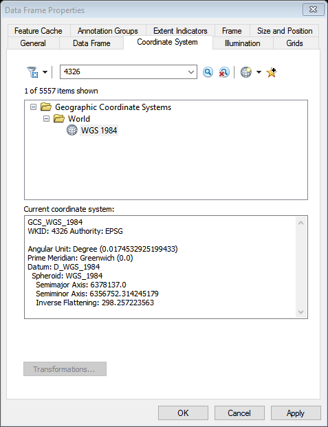
Yes, this is correct number 4326 since if you open up ArcMap and then hit the Layers then Coordinate System tab....Find it in the Geographic Coordinate System -----> World ---> WGS_1984
Here is the screenshot.
- Mark as New
- Bookmark
- Subscribe
- Mute
- Subscribe to RSS Feed
- Permalink
4269 was what I was inquiring about
- Mark as New
- Bookmark
- Subscribe
- Mute
- Subscribe to RSS Feed
- Permalink
The projection from GCS on one dataum to a PCS based on another datum can be done in one step using the Project tool or export from ArcMap. You just need to have set the correct transformation to get the datum shift sorted out.