Navigation: 2015 Scholar Project 2015Conference ReferenceProject CommunitiesPage ConservationGIS Scgis.org
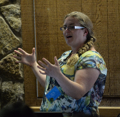
Jessica Berryman, Salt Lake Community College
xRemote xHabitat xEndangered xSpecies xMammal xExtinct xEducation xModel x2015Talk xTalk
SCGIS Profile
SLCC Profile: new site with her work as a science educator and thoughts on service-learning
Linkedin Profile:
Biology Assistant Professor at Salt Lake Community College
2015 Conference Paper: 2015 Presentation -pdf 2015 Video .mp4
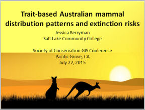
"Trait Based Austrailian Mammal Distribution Patterns and Extinction Risks"
Presenter: Jessica Berryman, Salt Lake Community College
SESSION Remote Sensing Methods for Critical Habitat Modelling II
 "Trait based research, which attempts to ascertain habitat selection based on intrinsic factors, may be beneficial in predicting species’ extinction risks. In this study, I utilized GIS to investigate the relationship between environmental factors and extinction risk based on life history strategies. Specifically, I conducted a metadata analysis of seven life history traits and the conservation status of 236 Australian species in order to identify life history strategy clusters and determine if there was a difference in extinction risk based on the clusters. I then compared the environmental data at each historical occurrence point for species within the life history strategy cluster with the highest extinction risk to other life history strategy clusters to determine if there was a relationship between environmental factors and extinction risk. Seven life history strategies were found in Australian mammals based on body size, diet type and locomotion type. Medium-sized, omnivorous, grounddwelling mammals had a significantly higher extinction risk and were found in significantly different environmental
  conditions than other mammal groups. Environmental constraints may be the cause of this group’s increased number of extinctions. Utilizing GIS to compare environmental variables and life history information may enable wildlife managers to focus their efforts on species within specific life history strategies clusters with the greatest extinction risk.