- Home
- :
- All Communities
- :
- User Groups
- :
- Conservation GIS
- :
- Documents
- :
- Diana Marisol Paredes, Ecuador
- Subscribe to RSS Feed
- Mark as New
- Mark as Read
- Bookmark
- Subscribe
- Printer Friendly Page
Diana Marisol Paredes, Ecuador
Diana Marisol Paredes, Ecuador


Diana Marisol Paredes Olmedo
Wildlife Conservation Society, Ecuador
xTTT x2019TTT x2016TTT x2015Scholar xHuman Wildlife xPark xEnvironmental xThreat xEnforcement xAntipoaching xMammal xEndangered xLatin America xEcuador
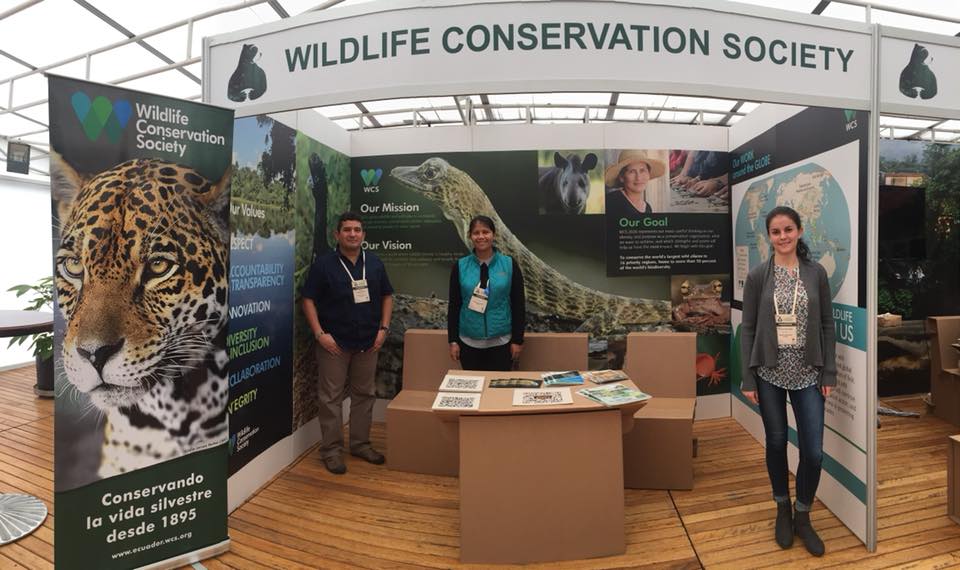
2019 International Conference Talk
2019 Profile: Diana is a participant in the first-ever SCGIS TTT Summit Meeting. Diana Paredes is part of WCS Ecuador team since 2014, working as a GIS specialist. She graduated in 2012 with a degree in Geographic Engineering and the Environment from the Escuela Politécnica del Ejército, and worked for 3 years as a geographic consultant before graduating. She supports WCS Ecuador’s technical team with analyzing and modeling to create social and biological maps of our landscapes. She also works on issues of strengthening control and monitoring systems with the SMART tool.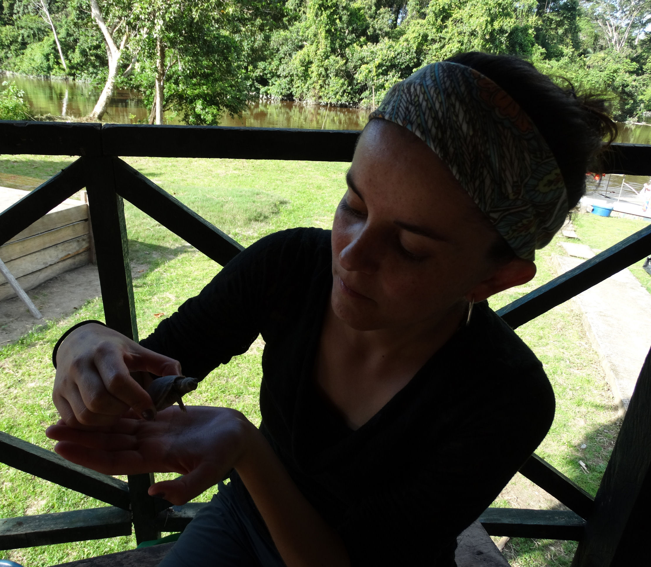
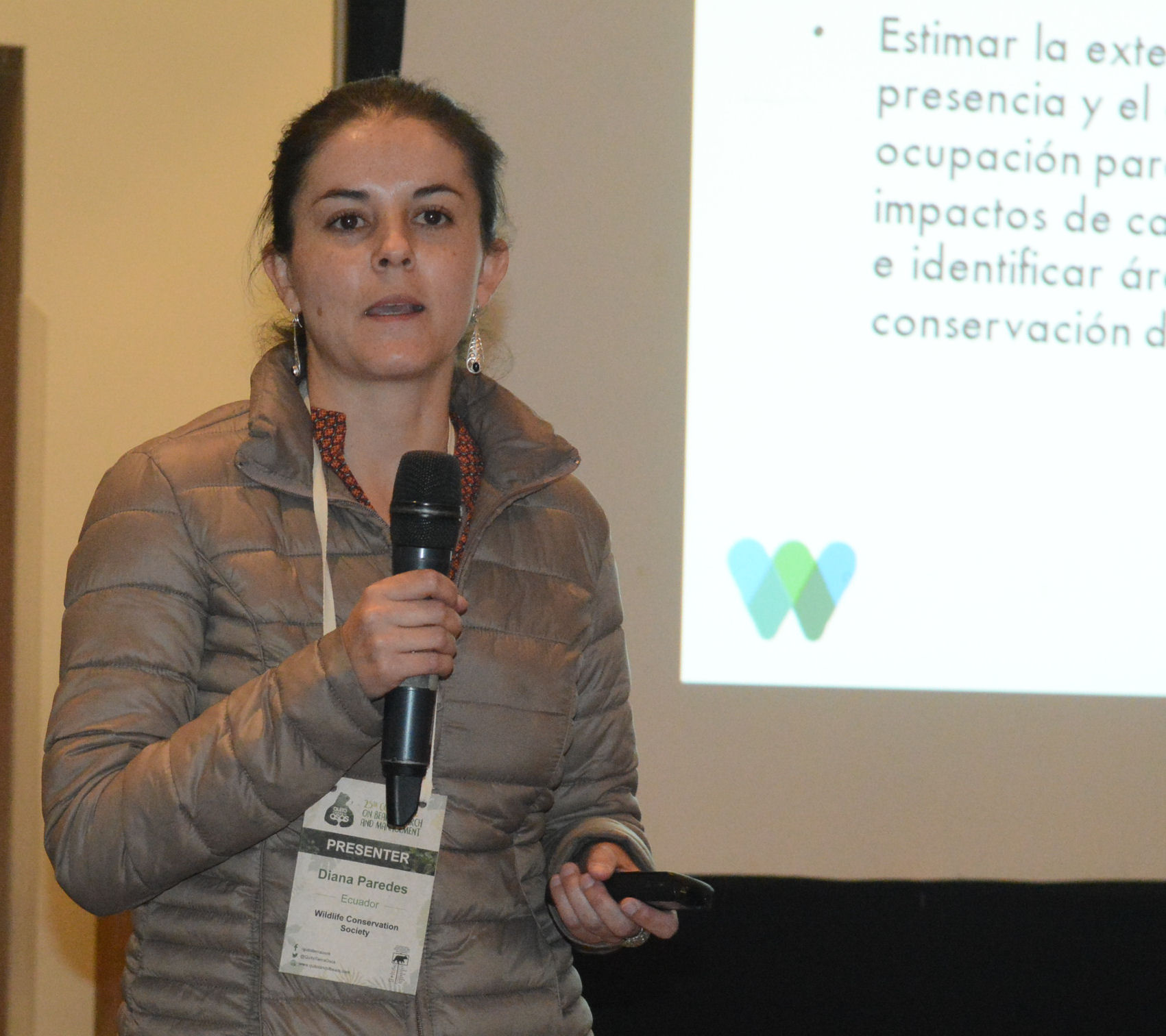
2017 Andean Bear Conference: Diana Paredes presented her WCS research work at the XXV International Bear Conference "Quito Tierra de Osos". You can see this talk through the Conference Facebook account. #QuitoTierradeOsos (Photo below, Diana is on the left)
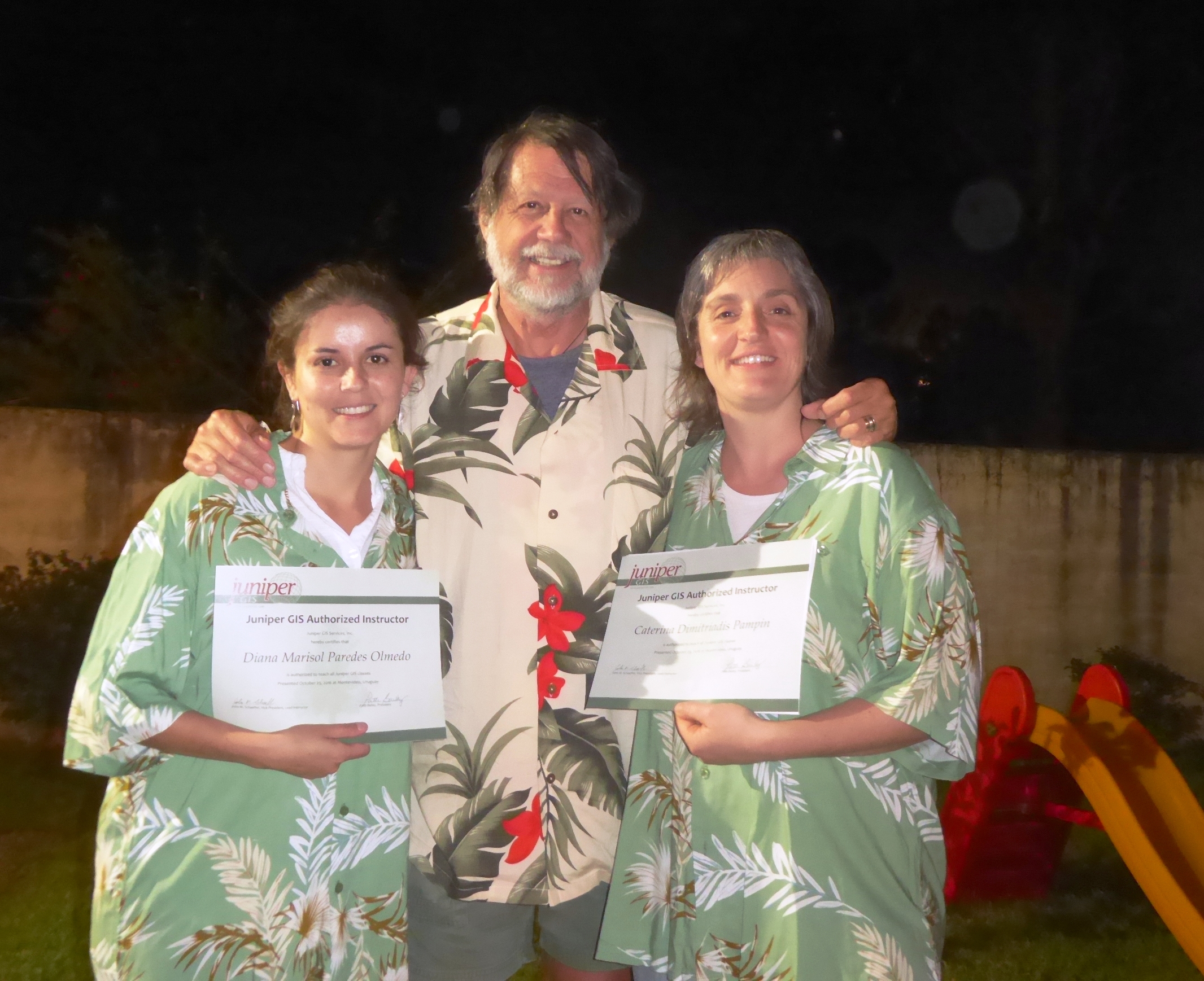
2016 TTT Uruguay Workshop: Diana is accepted as TTT Candidate for the SCGIS 2016 Scholar Training Program in Uruguay. Organized by Scgis Scholar and Chapter leader Marianna Rios with funding from Esri, Juniper GIS and the Fulbright Foundation, 22 students were taught over a 2-week period in October 2016 at the University of the Republic – East Region University Center in Rocha, Uruguay. TTT Candidate trainers were Diana Paredes and Caterina Dimitriadis Pampin (Photos below: LEFT: Diana (left) receives her official TTT Trainer Certification from John Schaeffer, Oct. 2016. RIGHT: Diana Lecturing at the 2017 Andean Bear Conference)
2015 Scgis Scholar Profile
Diana Marisol Paredes Olmedo
*-Organization name: Wildlife Conservation Society
*-Organization full street address: Av. De los Granados N40-53 y París
*-Country: Ecuador
*-Work phone with country and area code: (+593-2) 2267-034
*-Work fax with country and area code: (+593-2) 2249758
*-Main email: [email protected]
*-Organization Web site URL if any: www.ecuador.wcs.org / www.wcs.org
2015 Scgis Scholar Introduction Interview:

Describe the work that your current organization does: Wildlife Conservation Society (WCS) is a private, non-profit international organization, whose main objective is the preservation of wildlife and wild lands. In Ecuador, the main focus of WCS is to conserve biodiversity at the scale of ecologically representative landscapes through applied research to guide the conservation of wildlife and their habitats, and promote partnerships with local communities and other stakeholders to promote activities and policies aimed at the conservation and ecologically sustainable development.
The mission of WCS is to save wildlife and wild places worldwide through science, conservation action, education, and inspiring people to value nature. In addition, WCS envisions a world where wildlife thrives in healthy lands and seas, valued by 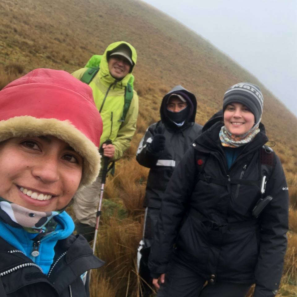 societies that embrace and benefit from the diversity and integrity of life on earth.
For the past ten years, WCS’s team of biologists, geographers, ecologists, resource managers, anthropologists, political ecologists, and environmental educators have been promoting a long-term conservation vision among stakeholders. WCS has carried out diverse projects in the region, related to applied research, wildlife management, institutional strengthening, capacity building, and environmental education. Additionally, WCS helps strengthen the environmental governance of indigenous, government and local organizations. (photo left: Diana and Colleagues on WCS andean field research)WCS has collaborated with local communities in developing new management strategies to improve their living conditions without threatening the integrity of the natural ecosystems in which they live. WCS-Ecuador has developed its first Strategic Plan that will serve as a guiding document to promote WCS’s vision and lay out strategies to ensure long-term biodiversity conservation and sustainable livelihoods within the Ecuadorian landscapes.
(Photo Above Right: Diana leads a camera trapping workshop in the Ecuadorian Amazon)
Currently, WCS concentrates its efforts on the frontiers of conservation in the Ecuadorian Amazon in the Yasuní Biosphere Reserve (YBR) and Llanganates National Park (LLNP) in the Andes region.
These two landscapes contain large representations of undisturbed lowland tropical forests (YBR) and Andean forests and páramo (LLNP), which are critical for the conservation of key wildlife species and ecosystems in the country. Additionally, their location relative to surrounding protected areas makes YBR and LLNP essential for the conservation and restoration of connectivity between lowland Amazonian forests and the Andes, and to maintain connectivity along the Andean range.
WCS is committed to planning and implementing successful site-based conservation at the landscape scale, promoting the management of areas large enough to have conservation significance. Defining our work in terms of conservation landscapes allows WCS to bring together the necessary combination of elements to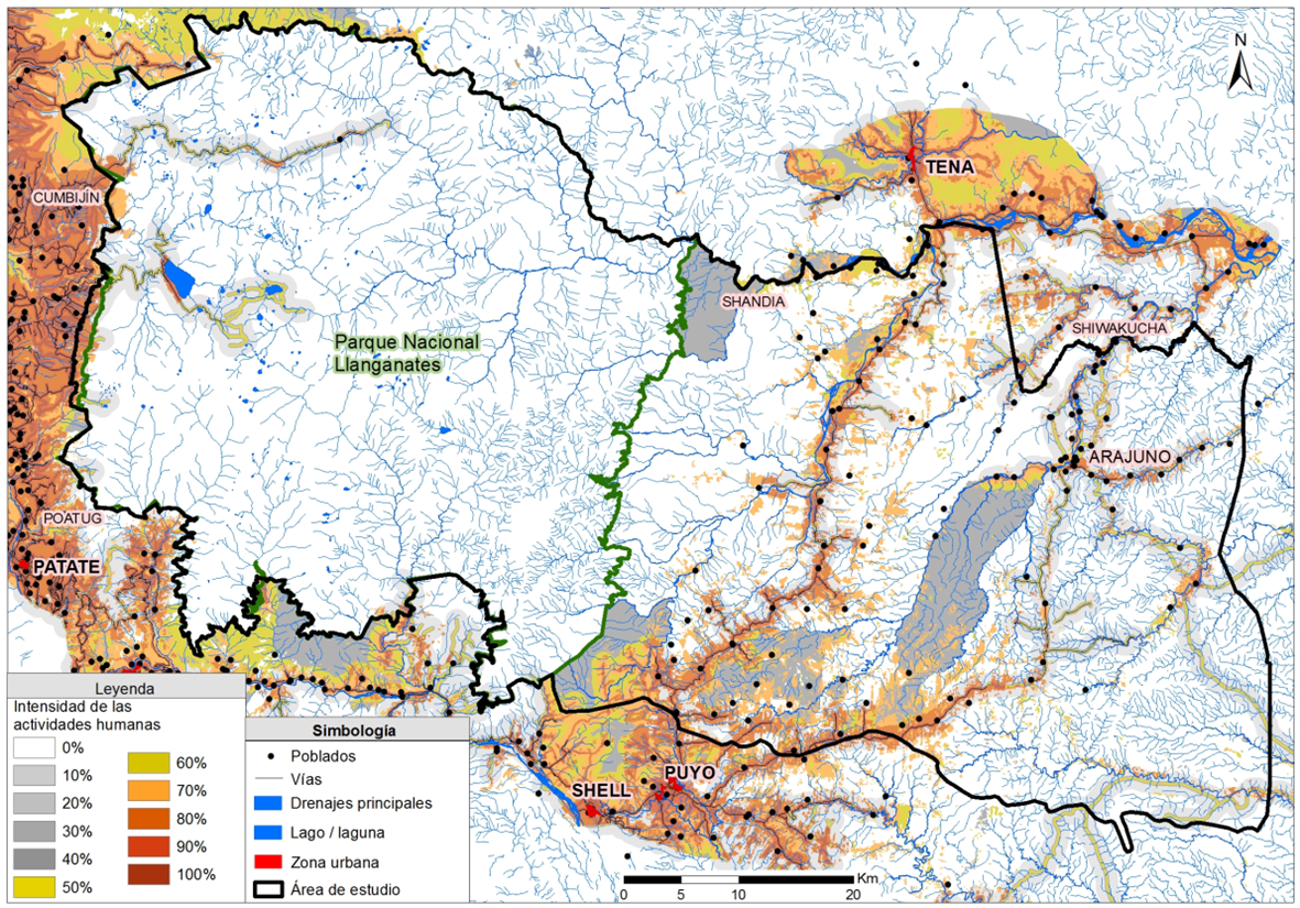 implement successful conservation strategies. This process involves identifying an appropriate mosaic of land uses, ranging from strict protection through public parks, to maintain a full complement of species and ecological processes.
To guide conservation, WCS generates applied scientific information and supports community-based management of natural resources in the Yasuní landscape. It promotes change locally through its long-term collaboration with communities as well as the strengthening of other stakeholders in the region. This is a strength that has been recognized by our local partners, and a niche that we feel we should continue to fill. As we strengthen our program, we need to expand and complement our current activities to better influence conservation in Ecuador.
describe your personal role in the organization: I work for the GIS lab with another coworker. My role in WCS is to provide support to the ecological and social initiatives. These includes the elaboration of basic maps, thematic maps, analysis of camera trap arrangements, selection of the best places to set up camera traps, and the generation of maps of field trips.
- Coordination and implementation of training events for mapping. This activity includes training in GIS (basic levels), GPS, SMART, and any other topics related to GIS and GPS use.
- Support the development of landscape level analyses. This activity includes the development of threat maps for Yasuní BiosphereReserve, and other landscapes.
-Support the collection of cartographic information; this activity includes data management, in collaboration with the Ministry of the Environment and local governments, to ensure up-to-date spatial information is available.
-Responsible for management and quality control of geographic database for landscapes, this activity includes management, compilation and usage of all this information.
-Participation and attendance of field activities (e.g.Participatory mapping, survey information on land cover, threats, and socio-economic information).
-Develop basic and thematic cartography for projects.
-Support the research for new tools and mapping methodologies.
Describe the history of your personal work in conservation and GIS: Conservation of landscapes started being my passion since I was very young. The importance of nature for humans, and all the environmental problems that exist always troubled me, so I decided to learn more and get more involved. I figured out that the geographic engineering was the right fit for me and my personal interests. My main goal in conservation is to visualize the reality of the ground on a map, for effective wildlife conservation, improving environmental services and achievinge harmony between nature and humans. Another personal goal that has guided me from my beginnings in conservation is to help indigenous people in conservation and management of their territories. On the other hand, I really like the idea of keeping intact the intangible territory of uncontacted people in eastern Ecuador. My involvement in the GIS world has made me realize that GIS is a very important tool for decision making in conservation and for increasing awareness about environmental issues. My work in landscape conservation in Ecuador started with a very specific vision which was on rural territory management with the goal of helping people to legalize their territories. After this initial experience, I was involved in environmental statement programs for hydroelectric projects with the goal to make thematic maps to help identify suitable sites for construction to minimize environmental impacts.
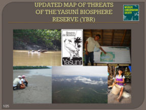
*-Abstract/summary of the paper you will present: The biodiversity of Yasuní Biosphere Reserve (YBR) is under pressure by a number of anthropogenic factors including road construction, illegal logging and oil extraction. In 2006 WCS developed a general map of the environmental problems of the Yasuní Biosphere Reserve to display the number and spatial distribution of six problems. In 2009 with additional data gathered in the field and information verified with locals, a new map of environmental problems was developed. The map reflects the severity of different types of human activities that are causing habitat alteration and have direct impact on wildlife populations, such as commercial hunting, subsistence hunting, population pressure, oil wells and logging. The assessment of pressures in the RBY was based on a gridded spatial model that incorporated information on the distribution of human activities present in the study area. Currently, my goal is to update the map of human activities including road construction areas, timber extraction areas, influence of oil exploitation, commercial hunting, and population growth. The range of severity ranges from 0 to 100, with 0 being the lowest and 100 the highest. All models will be classified by the spatial patterns to be compared with past years.
The current map visualizes spatial patterns of problems and can serve as a tool to assess the pressures on wildlife populations and to identify areas where you need to strengthen surveillance and identify monitoring points.
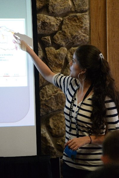
Also is expected to generate a comparative map between the three mapped periods (2006, 2009 and 2015) to find conserved, reclaimed areas and areas damaged during this time. (Photo below: Conservation Planning workshop at the Yasuni Reserve)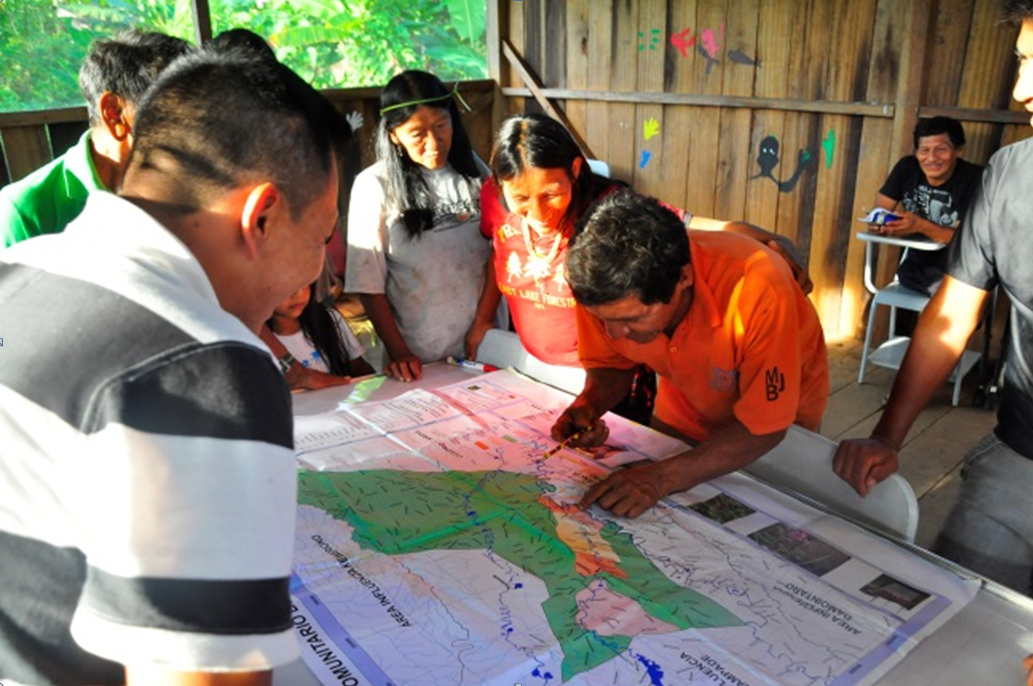
2015 Live Map Application created by Ms. Olmedo during the 2015 UC Davis-SCGIS Web GIS Training Program.
This Map has the information of the Yasuni Biosphere reserve, included the Yasuni National park, the Communities that lives there, the intangible zone (home of no contact people), and the actual layer of oil blocks, some of them are active and others in progress to be active. (View larger map)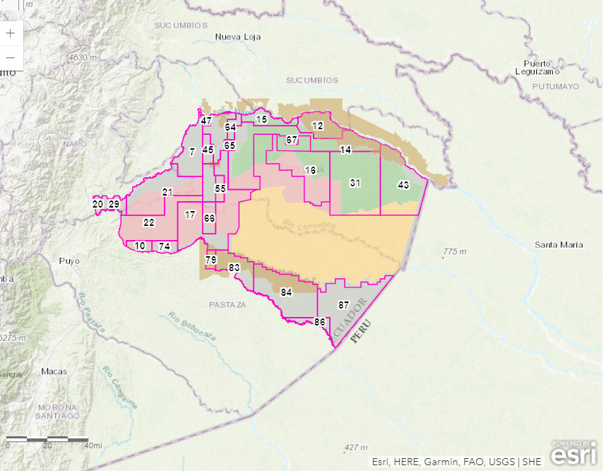
-
 Anonymous User