Navigation: 2015 Scholar Project 2015Conference ReferenceProject CommunitiesPage ConservationGIS Scgis.org
Brian Shepard, Clean Water Services USA
xRemote xLIDAR xWater xVegetation x2015Talk xTalk
2015 SCGIS Profile 
2015 Conference Paper: Presentation (pdf) 2015 Video -mp4
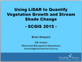
"Using LiDAR to Quantify Vegetation Growth and Stream Shade Change"
Presenter: Brian Shepard, Clean Water Services SESSION: Remote Sensing & Lidar Methods
 ABSTRACT: Clean Water Services (CWS), a water resources management utility that serves over 550,000 customers in the Tualatin River watershed, contracted with Quantum Spatial, Inc. (QSI), to perform height change and effective shade analyses in support of stream corridor and aquatic habitat enhancement. The results were used to create animations that help to describe the effects of the enhancement efforts as well as provide a higher level of understanding about the environmental stewardship role that CWS fulfills. Datasets of individual tree delineations were created by utilizing point cloud geometry, spatial distribution patterns, and neighborhood analysis. Each tree
  was assigned a unique tree ID and forest metrics relating to tree height, canopy height, canopy cover, stem density, and crown area were generated directly from the LiDAR point cloud. Changes in vegetation height were calculated as the difference between rasters created from 2008 and 2013 LiDAR data sets. A smoothing process to eliminate the possibility of sampling raster pixels that are not representative of vegetation canopy height was utilized for each of the vegetation height rasters. This effectively filled ‘pits’ in the vegetation canopy. Effective shade and solar flux were simulated for the periods of May 1 through October 31 on both datasets to capture the complete temperature monitoring season as well as salmonid rearing seasons. The results were used to calculate average daily solar loading at the stream surface.