- Home
- :
- All Communities
- :
- Products
- :
- ArcGIS StoryMaps
- :
- Classic Esri Story Maps Questions
- :
- Re: Webmap fails in Shortlist Template?
- Subscribe to RSS Feed
- Mark Topic as New
- Mark Topic as Read
- Float this Topic for Current User
- Bookmark
- Subscribe
- Mute
- Printer Friendly Page
- Mark as New
- Bookmark
- Subscribe
- Mute
- Subscribe to RSS Feed
- Permalink
- Report Inappropriate Content
Hi there,
I'm trying to get a shortlist template to work for the following webmap
http://www.arcgis.com/home/webmap/viewer.html?webmap=486efd11ce344810ab2e92f63d77548f
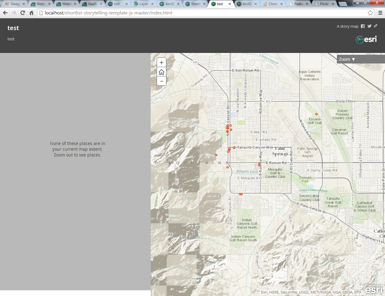
which is a straight copy of the example in the sample. However I get the following error in the logs when I try loading it?
"Map creation failed: " "{}"
Other webmaps i.e. the one the template came with work fine?
Any suggestions would be greatly appreciated.
Cheers,
Bryan
Solved! Go to Solution.
Accepted Solutions
- Mark as New
- Bookmark
- Subscribe
- Mute
- Subscribe to RSS Feed
- Permalink
- Report Inappropriate Content
Hi Bryan,
You have got a point feature layer added in your web map. But the web map used in the sample has a csv or shape file added to the web map.
Refer to short list tutorial Shortlist Tutorial | Story Maps | Story Maps step 4, i suspect you have not done that for your web map.
I managed to get the map visible by adding if else block around line 639 to 660 in app\main.js. Digging the code further, it's looking for a layer added through step 4 in the tutorial.

- Mark as New
- Bookmark
- Subscribe
- Mute
- Subscribe to RSS Feed
- Permalink
- Report Inappropriate Content
Thanks Riyas! You are absolutely correct you have to import a shapefile or CSV into the webmap for it to work correctly.
It would be good if you could use a point feature service though. I'll try to add this to the main.js.
Cheers,
Bryan
- Mark as New
- Bookmark
- Subscribe
- Mute
- Subscribe to RSS Feed
- Permalink
- Report Inappropriate Content
Hi Bryan,
No doubt, you can modify the main.js to work with your feature service. Good luck, do post you code back in the forum, sure there are others who'll be interested in that.
Regards
Riyas
- Mark as New
- Bookmark
- Subscribe
- Mute
- Subscribe to RSS Feed
- Permalink
- Report Inappropriate Content
Sorry about the limitation guys. Riyas is right. Currently feature services are not supported for the point layers that define the tabs and contain the places of interest in the Shortlist. They have to be feature collections created by uploading a shapefile or CSV file. I'll update the tutorial step 4 to make that clearer too. Feature services are also not supported for clickable supporting layers that can optionally be added into a Shortlist (like the light rail line, light rail station, parks, etc in this example: http://storymaps.esri.com/stories/shortlist-phoenix/