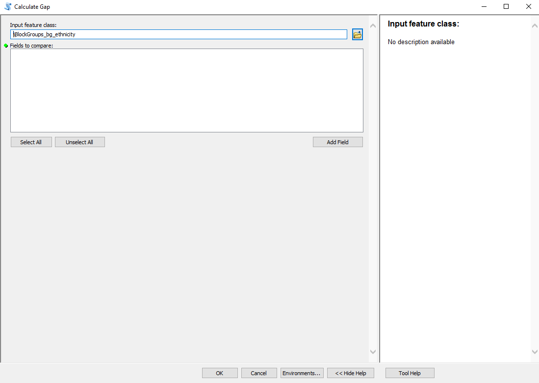
I found a blog on github.com for creating the Predominance Toolset in Arcmap. I have replicated all the steps and have the two geoprocessing tools:
When I run the Calculate Gap there are no fields available to select. My input feature class is a subset of block groups with a few demographic variables. Has anyone used this toolset in ArcMap? I know there is the option to map by this in AGOL, but I need static maps for many different areas at block group level. Any help would be much appreciated.
