- Home
- :
- All Communities
- :
- User Groups
- :
- CAD/GIS Data Integration
- :
- Questions
- :
- Import CAD Layers
- Subscribe to RSS Feed
- Mark Topic as New
- Mark Topic as Read
- Float this Topic for Current User
- Bookmark
- Subscribe
- Mute
- Printer Friendly Page
Import CAD Layers
- Mark as New
- Bookmark
- Subscribe
- Mute
- Subscribe to RSS Feed
- Permalink
When I use the CAD to Geodatabase function, all of the separate layers that were in Autocad are now all moved to one layer in ArcMap. I want to be able to turn certain layers of polylines off.
Picture of how my cad layers imported into ArcMap:

- Mark as New
- Bookmark
- Subscribe
- Mute
- Subscribe to RSS Feed
- Permalink
Peter, do you have access to ArcGIS Pro? In Pro when CAD layers are imported, they separate into layer/levels automatically. To do this in ArcMap, you would need to perform a definition query on your layer (well, several definition queries).
Info: Displaying a subset of features in a layer—Help | ArcGIS for Desktop
And: A quick tour of working with CAD data—Help | ArcGIS for Desktop
- Mark as New
- Bookmark
- Subscribe
- Mute
- Subscribe to RSS Feed
- Permalink
Hi Adrian, Yes I have access to ArcGIS Pro. I've just activated it and am in it now getting the lay of the land. I havePro open right now. The only thing for starters that I can't see is how to open the Catalog window. A online article states to find it in View>Windows and then lick on the catalog pane. But I don't see that option.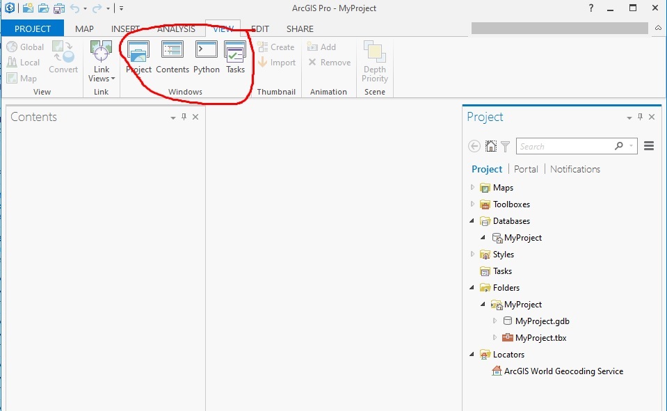
- Mark as New
- Bookmark
- Subscribe
- Mute
- Subscribe to RSS Feed
- Permalink
Ok, several things.
1. This is weird.
2. I can see your catalog pane right now on the right hand side. That's your catalog pane. You can navigate to your file from there.
3. You can add your CAD file by the Add Data button in the Map ribbon.
4. I wonder if you have the chance to expand your window more. I find that when my Pro application is not fully maximized (full screen) that some of the buttons get shrunk down and end up in a not-easy-to-find drop down list.
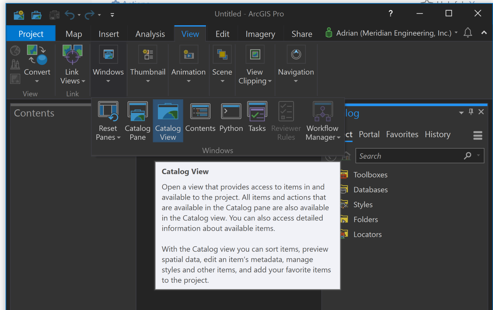
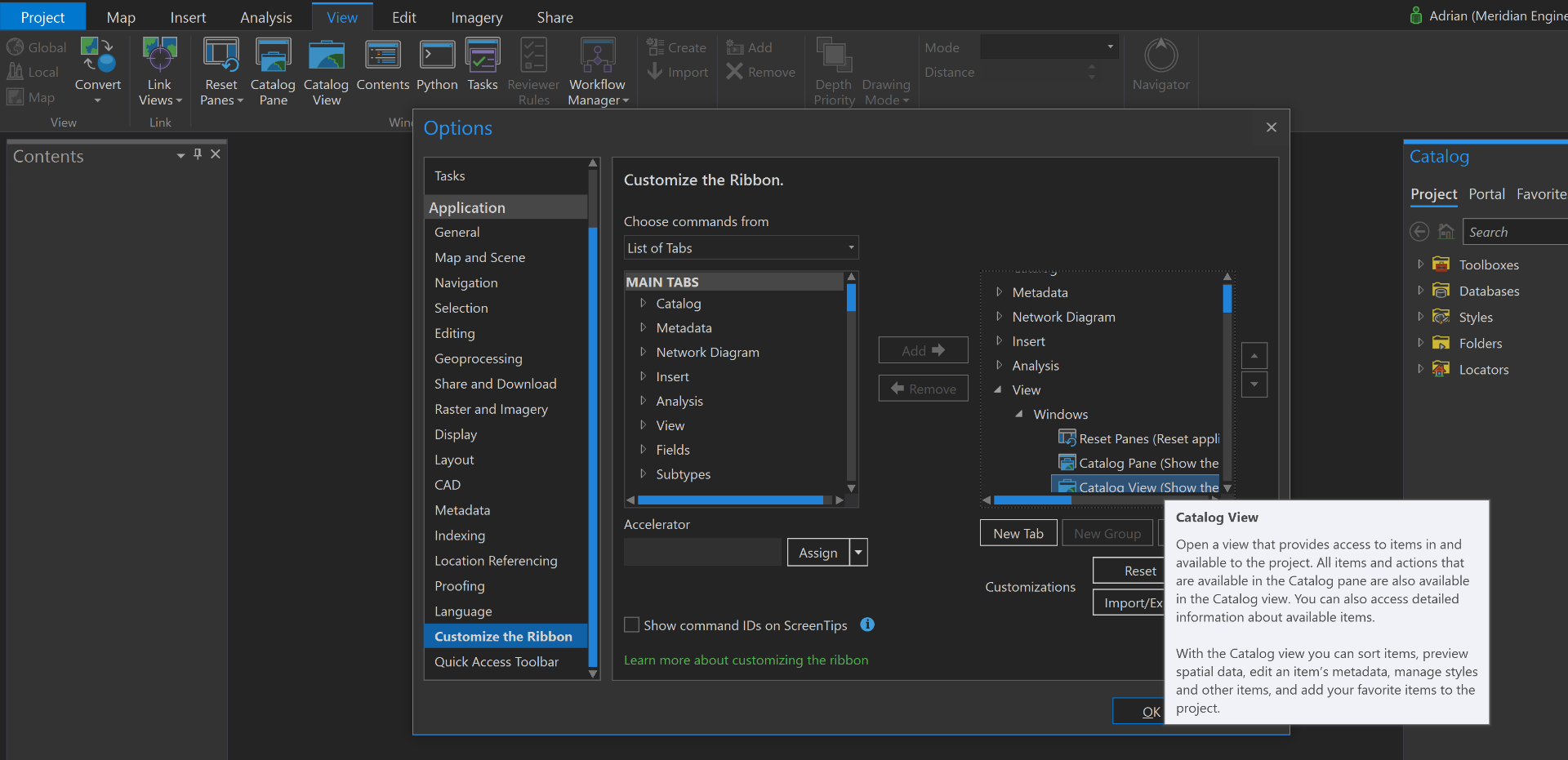
5. If nothing else works, right click somewhere in the blank space in the Windows area under the View ribbon, then click on Customize this ribbon. Here you can add your different options like Catalog Pane and Catalog View:
6. Out of curiosity, do you have the latest Pro installed? We're on 2.4x at the moment.
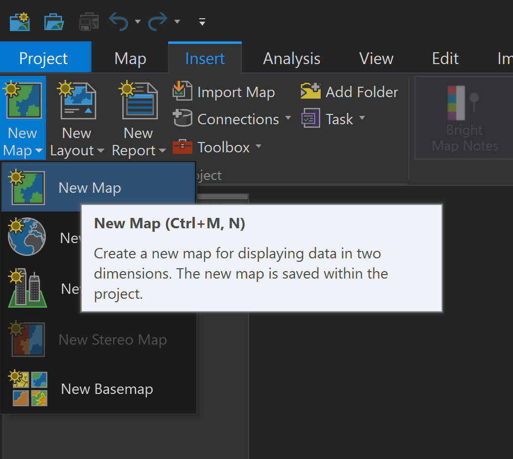
7. One last thing, before you start doing stuff, be sure to insert a Map so you can get started adding data. Without a map, you cannot add data.
- Mark as New
- Bookmark
- Subscribe
- Mute
- Subscribe to RSS Feed
- Permalink
Yeah I think that's the problem, I'm running Pro 1.2. But I did find the add data button and was able to have some success. What I didn't realize was that I have to add a new map in order to make those ribbon functions turn on. I'm much happier with how it imports cad data. It keeps the line colors and line weights from the original; cad file.
- Mark as New
- Bookmark
- Subscribe
- Mute
- Subscribe to RSS Feed
- Permalink
That's what I was wondering, it seems that in 2.4, all the normal panes are there even without having a map open. But I cannot add data until I have a map inserted.
I'm glad it's working for you now.
- Mark as New
- Bookmark
- Subscribe
- Mute
- Subscribe to RSS Feed
- Permalink
I'm already liking Pro much better than ArcMap. But I also understand some have found the switch problematic.
I was just watching a video tutorial on how to edit an attribute table. In my case (as the video showed) the edit buttons are all greyed meaning you can't edit just yet. But in the video when she explains how to enable editing, what she says is unintelligible. What is the trick to turning edit mode on?
- Mark as New
- Bookmark
- Subscribe
- Mute
- Subscribe to RSS Feed
- Permalink
You cannot edit CAD layers in ArcGIS Pro. But if you were to convert your CAD into a geodatabase or another feature class, you can then edit.