Hello all,
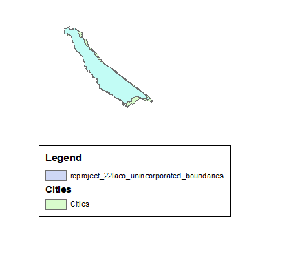
Like the title says, my data will not line up after reprojecting into the coordinate system I am trying to match with another.
I have an existing layer called AA_Cities and a newly downloaded shapefile called LA_County_Boundaries2022.
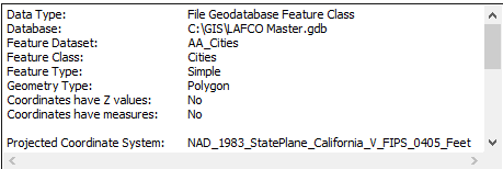
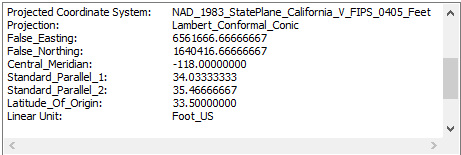
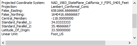
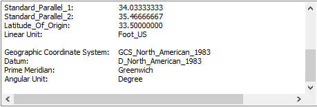
AA_Cities is currently in NAD_1983_StatePlane_California_VFIPS_0405_Feet.
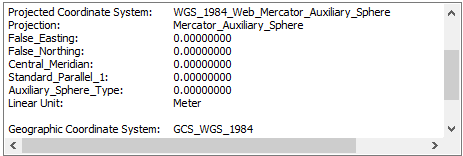
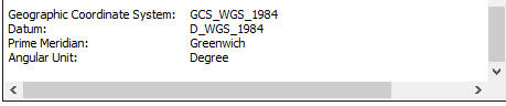
LA_County_Boundaries2022 is being reprojected from WGS_1984_Web_Mercator_Auxiliary_Sphere to NAD_1983_StatePlane_California_VFIPS_0405_Feet.
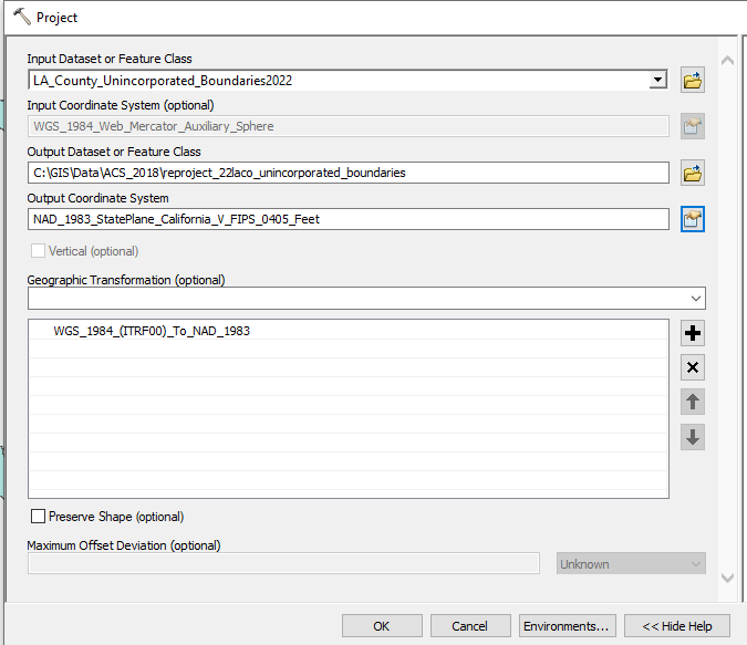
tmo_0-1660142003787.png
CITIES (existing)
tmo_1-1660142351505.png
tmo_2-1660142351509.png
tmo_3-1660142351510.png
LA County Unincorporated Boundaries 2022 (downloaded shapefile)
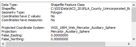
tmo_4-1660142371872.png
tmo_5-1660142371873.png
tmo_6-1660142371874.png
Reproject_22laco_unincorporated_boundaries (Reprojected Layer)
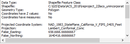
tmo_9-1660142528191.png
tmo_10-1660142569171.png
tmo_11-1660142585725.png
Data Not Lining Up
tmo_0-1660142852155.png
Could you try a different transformation method, like "NAD_1983_To_WGS_1984_5"?
Transformation methods are bidirectional (works both ways).
How To: Determine which NAD_1983_To_WGS_1984 transformation to use (esri.com)
Hi Jayanta thank you for this info it is good to know. I tried your suggestion and the data doesn't seem to move at all. I have tried several transformations and followed the suggestions of the table listed below to no avail.
tmo_3-1660150095692.png