- Home
- :
- All Communities
- :
- Products
- :
- ArcMap (Retired)
- :
- ArcMap Questions
- :
- Calculate Speed with point feature
- Subscribe to RSS Feed
- Mark Topic as New
- Mark Topic as Read
- Float this Topic for Current User
- Bookmark
- Subscribe
- Mute
- Printer Friendly Page
- Mark as New
- Bookmark
- Subscribe
- Mute
- Subscribe to RSS Feed
- Permalink

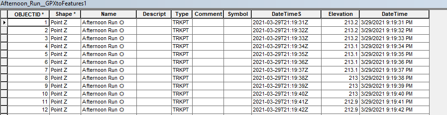
I uploaded a GPX file from strava with my run on it. I have a point feature for every second of the run. I'd like to symbolize the speed at which I was running but am drawing a blank on the google search. Any suggestions?
Solved! Go to Solution.
Accepted Solutions
- Mark as New
- Bookmark
- Subscribe
- Mute
- Subscribe to RSS Feed
- Permalink
I'm not sure if your actual GPX file captured the speed. The GPX to Features tool doesn't translate speed as it's not a standard field from the GPX schema. There are ways to hack up the tool to pull more fields from a GPX (assuming that you have a speed field).
Alternatively, you can download a tool I wrote: https://www.arcgis.com/home/item.html?id=46d7940511a74b9199cabceeede44aaa It derives speed based on a couple different ideas. (distance / time between points). The output would be a track (line)
- Mark as New
- Bookmark
- Subscribe
- Mute
- Subscribe to RSS Feed
- Permalink
It looks like the Classify Movement Events tool in ArcGIS Pro will do this: https://pro.arcgis.com/en/pro-app/latest/tool-reference/intelligence/classify-movement-events.htm
The tool is new in ArcGIS Pro 2.7 so won't be available in ArcMap, but if you have a current Desktop license, you should also have access to ArcGIS Pro. https://pro.arcgis.com/en/pro-app/latest/get-started/about-licensing.htm
Hope this helps!
- Mark as New
- Bookmark
- Subscribe
- Mute
- Subscribe to RSS Feed
- Permalink
I'm not sure if your actual GPX file captured the speed. The GPX to Features tool doesn't translate speed as it's not a standard field from the GPX schema. There are ways to hack up the tool to pull more fields from a GPX (assuming that you have a speed field).
Alternatively, you can download a tool I wrote: https://www.arcgis.com/home/item.html?id=46d7940511a74b9199cabceeede44aaa It derives speed based on a couple different ideas. (distance / time between points). The output would be a track (line)
- Mark as New
- Bookmark
- Subscribe
- Mute
- Subscribe to RSS Feed
- Permalink
Thanks. I downloaded the tool but am not sure how to add it to ArcMap (never done that before). How do I add a tool?
- Mark as New
- Bookmark
- Subscribe
- Mute
- Subscribe to RSS Feed
- Permalink
Extract the zip file to somewhere (C:\temp), then in your Catalog window, just navigate to that folder. Once there, expand it, you'll see the tool. Just run it the same as any other geoprocessing tool.
- Mark as New
- Bookmark
- Subscribe
- Mute
- Subscribe to RSS Feed
- Permalink
Awesome, thanks! I'ma give this a try.