Turn on suggestions
Auto-suggest helps you quickly narrow down your search results by suggesting possible matches as you type.
Cancel
- Home
- :
- All Communities
- :
- Products
- :
- ArcGIS Web AppBuilder
- :
- ArcGIS Web AppBuilder Questions
- :
- Re: Custom Cache Scales on Web Map Applications
Options
- Subscribe to RSS Feed
- Mark Topic as New
- Mark Topic as Read
- Float this Topic for Current User
- Bookmark
- Subscribe
- Mute
- Printer Friendly Page
Custom Cache Scales on Web Map Applications
Subscribe
921
1
08-23-2017 07:16 AM
08-23-2017
07:16 AM
- Mark as New
- Bookmark
- Subscribe
- Mute
- Subscribe to RSS Feed
- Permalink
Hello,
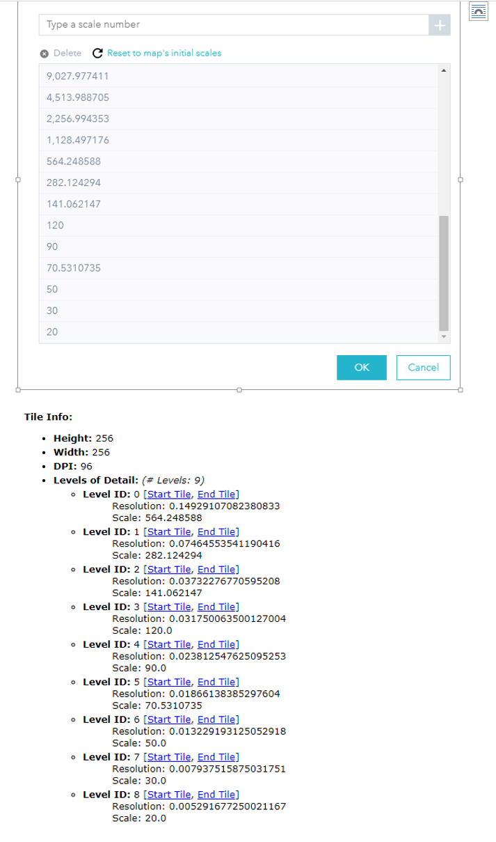
I created custom scales in my Tile scheme of a drone orthophoto. Uploaded to AGOL as a hosted Tile Layer. Now the image is only showing at one of the scales, even though 4 of them match (564, 282, 141 & 70). Not exactly sure which one. I set my web map to have the same custom scales. Any info on what's going on.
1 Reply
08-24-2017
05:13 PM
- Mark as New
- Bookmark
- Subscribe
- Mute
- Subscribe to RSS Feed
- Permalink
Steve,
If you are using standard esri basemaps then your basemap needs to match their scale reduction.
For example you take the lowest scale and divide by 2:
These should be your scales:
564.248588
282.124294
141.062147
70.5310735
35.26553675
17.632768375