Currently Coordinate Notation for Operations Dashboard is limited to:
- Decimal Degrees
- Degrees-Minutes-Seconds
- Degrees Decimal Minutes
- Global Area
- World Geographic
- UTM
- USNG
- MGRS
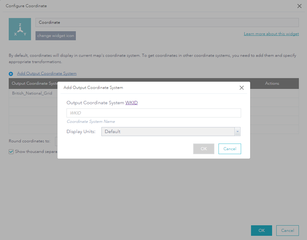
It would be beneficial to add an output coordinate system like British National Grid or a State Plane System. Web AppBuilder for ArcGIS already has this capability in the Coordinate Widget. You can choose an Output Coordinate System based on it's well-known ID (WKID).
Special thanks to Miguel Paredes