- Home
- :
- All Communities
- :
- Learning
- :
- ArcGIS Tutorials
- :
- ArcGIS Tutorials Questions
- :
- What is GIS?
- Subscribe to RSS Feed
- Mark Topic as New
- Mark Topic as Read
- Float this Topic for Current User
- Bookmark
- Subscribe
- Mute
- Printer Friendly Page
What is GIS?
- Mark as New
- Bookmark
- Subscribe
- Mute
- Subscribe to RSS Feed
- Permalink
How do you explain GIS to new students?
It's not a simple thing to describe. If it was, it might have a different name. I remember before I began my GIS program I tried to find out what it was I was about to study - and failed. It didn't really click for me until two weeks into my course.
Esri has an official "What is GIS" page, which is great resource, even including a showcase of example and history. But when you set out to explain it to new learners or curious friends and family, how do you do it? What was the explanation or example that made the most sense to you when you were new to this field?
Below is my attempt at an explanation of GIS. But I want to hear your explanations too. If we can collect some diverse definitions, perhaps new students and users will find the right one that helps them understand. Please comment in this discussion to add your own ideas! If you have a good explanation in another language, feel free to share it as well.
WHAT IS GIS?
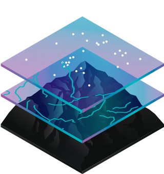
GIS stands for Geographic Information System. It means all of the info that you might find on maps. Info like where are the roads? How many people live there? and How tall is that mountain? It's also known as spatial data.
GIS is not just spatial data, it is a system for collecting, creating, storing, managing, analyzing, and presenting spatial data. Spatial data is to a Geographic Information System what blood is to your circulatory system. Most of the time, when people talk about GIS, they are talking about the analysis part.
Previously, we used paper maps to accomplish these tasks. But drawing maps is incredibly time consuming. Using a computerized GIS instead means we can do all of this with greater speed, accuracy and complexity.
WHAT IS GIS USED FOR?
We primarily use GIS to answer questions and solve problems. Some examples of questions and problems that are typically addressed by GIS are:
- What areas of your city are most at risk from flooding?
- Where should you locate your new store?
- Who is most at risk from a disease outbreak?
- How can you improve access to public transportation?
- Which lands are critical habitats that need to be preserved?
- How has the health of a waterway changed over time?
Chances are, you've heard of GIS before, it just wasn't named.
When the police say they are using computers to understand the patterns of a recent crime outbreak, when a scientist says they are tracking the migrations of whales, when a town planner says that they want to rezone part of your town, all of them are using GIS to do so.
So is GIS a thing, a process, or a practice?
All of the above. Sometimes it is used to refer to a discipline. Sometimes it is used to refer to the software and hardware that is used in that discipline, and sometimes to the particular system that is set up by a GIS specialist for their organization. You can practice GIS, use a GIS, build a GIS, or be a GIS technician. ArcGIS, as a software platform, is a GIS.
- Mark as New
- Bookmark
- Subscribe
- Mute
- Subscribe to RSS Feed
- Permalink
Hi Heather!
That's a great start, but forgot to mention that it's like Google Maps...
Before you start frantically searching for your favourite rolleyes gif, check out this article - Google Maps vs GIS Maps - What to say at your next Dinner Party - in which Alice Jin goes beyond the the superficial "like Google Maps" explanation and offers (in her words) "some quick and simple ways to explain the difference between GIS maps and Google Maps, in one short sentence, and without the standard industry jargon".
While many of these examples could stand on their own, using Google Maps as a counterpoint actually makes them super relatable (especially to the uninitiated) IMO.
Cheers!
Craig
- Mark as New
- Bookmark
- Subscribe
- Mute
- Subscribe to RSS Feed
- Permalink
Thanks Craig Russell, these are great! I've definitely used the consumers vs professionals approach before, but I love the starbucks and flooding analogies and will try them out next time. Google maps uses GIS to tell you how to get from point a to point b. But that is only one of the many tricks that GIS can do.