Check out the new lessons on Learn ArcGIS. Try a workflow or product that you aren't familiar with yet using a step-by-step tutorial based on a real-world scenario.
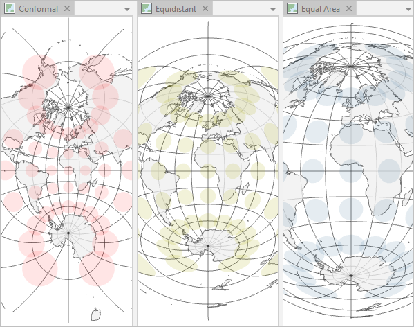
Learn how to choose—or create—the right projected coordinate system for your map in Choose the Right Projection. Want to know more? The learn path Map Projections shares a variety of related resources.
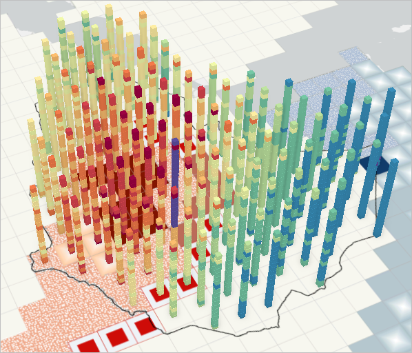
Two new lessons demonstrate the deeper insight you can gain from your data using space-time cubes: Identify Popular Places with Spatiotemporal Data Science, and Investigate Pollution Patterns with Space-Time Analysis.
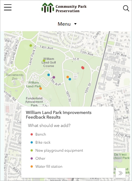
Try Get Started with ArcGIS Hub Premium to get community involvement in the planning of a new park. Try Identify Schools for a Mentoring Program to analyze high school dropout rates and target prevention programs effectively.
Other recent lessons on Learn ArcGIS:
Balance Territories for College Recruiters
Model Landslide Susceptibility Using Living Atlas Data
How to Use Business Resilience
Schedule Automated Near Real-Time Data Updates
Calculate Environmental Equity for Public Policy