- Home
- :
- All Communities
- :
- Products
- :
- ArcGIS Survey123
- :
- ArcGIS Survey123 Questions
- :
- When will Survey123 support other projections
- Subscribe to RSS Feed
- Mark Topic as New
- Mark Topic as Read
- Float this Topic for Current User
- Bookmark
- Subscribe
- Mute
- Printer Friendly Page
When will Survey123 support other projections
- Mark as New
- Bookmark
- Subscribe
- Mute
- Subscribe to RSS Feed
- Permalink
Hello,
Does anyone know when Survey123 will support basemaps in projections other than WGS84? I am working with a customer in the UK that is using Collector and Survey123 and wants to have offline caches for both. All of their data is in British National Grid including the data that would be used for the basemap. We want to use BNG for the Collector, but that means we need two vector tile caches, one in BNG and one WGS84. It is not the end of the world, but it would be great if we could use whatever projection that the runtime supports.
thanks.
- Mark as New
- Bookmark
- Subscribe
- Mute
- Subscribe to RSS Feed
- Permalink
Hi Ben,
The in-beta standard map capabilities support maps in other projections than Web Mercator (note that Survey123 uses Web Mercator (wkid 3857/102100), not WGS84 (wkid 4326).
- Mark as New
- Bookmark
- Subscribe
- Mute
- Subscribe to RSS Feed
- Permalink
Hi James,
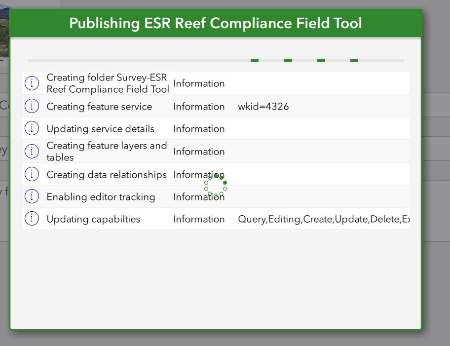
I am not sure if this has been updated since Feb but without changing any parameters I am seeing S123 publish features with WKID=4326
- Mark as New
- Bookmark
- Subscribe
- Mute
- Subscribe to RSS Feed
- Permalink
Have others been successful in getting other projections to work in the basemaps of Survey123 field app?
I have TM_65_Irish Grid (WK29902) basemaps but none will show.
I can only get basemaps that have web mercator projection to show in the basemaps.
I'm using the latest versions.
I assume from this link only web mercator offline basemaps work but what about basemaps taken from the basemap gallery of Portal?
Prepare basemaps for offline use—ArcGIS Survey123 | Documentation
- Mark as New
- Bookmark
- Subscribe
- Mute
- Subscribe to RSS Feed
- Permalink
Hi @BenWalker @JamesTedrick @RachelS ,
Not sure if anything's changed since you guys posted in this thread. I am in New Zealand and would like to make an offline basemap in Survey123 where the users can have the option to type in coordinates in New Zealand Trans Mercator. Do you know if this is possible?
So far, I've been able to take a basemap offline for the area. When I look at coordinates that display on the screen though, they look like they are in WGS84.
I am still fairly new to S123 and don't know much about projections... any insight you might be able to provide would be great.
The end goal is to use Integromat to export the forms they are filling out (coordinates must be in NZTM), but if S123 only uses WGS84, might put the automation factor on hold and do the extra steps back at the office.
- Mark as New
- Bookmark
- Subscribe
- Mute
- Subscribe to RSS Feed
- Permalink
Hello there!
If you are still looking for a solution, I might have the right workaround for you. If you create the Survey based on a FeatureService, the Survey will use the WKID of the FeatureService. This is how I got to use the projection I wanted.
This Method has a few draw backs. I could not get it to work with repeats and the statistics on the Survey123 Website might not work as intended.
It is a lot of back and forth, but maybe this is the right solution for you.
Cheers!