- Home
- :
- All Communities
- :
- Products
- :
- ArcGIS Spatial Analyst
- :
- ArcGIS Spatial Analyst Questions
- :
- skyline problem
- Subscribe to RSS Feed
- Mark Topic as New
- Mark Topic as Read
- Float this Topic for Current User
- Bookmark
- Subscribe
- Mute
- Printer Friendly Page
skyline problem
- Mark as New
- Bookmark
- Subscribe
- Mute
- Subscribe to RSS Feed
- Permalink
I am trying to create skyline based on 7 points within a neighborhood. The points are in a point shapefile without elevations (I am not sure if this file should be called 3D points). I also have a building footprint shapefile with building heights. When I run skyline (in ArcMap), I used the point file as 'Input Observer Point features', leave 'Input Surface (optional)' empty, and used the building footprint file as 'Input Features (optional)'. But when I run it, I got full circles around all points. This to me means that the points are not related to the buildings. I tried to add elevations into the point data, but it did not work. Could anyone give me suggestion on what I did wrong and how to fix it?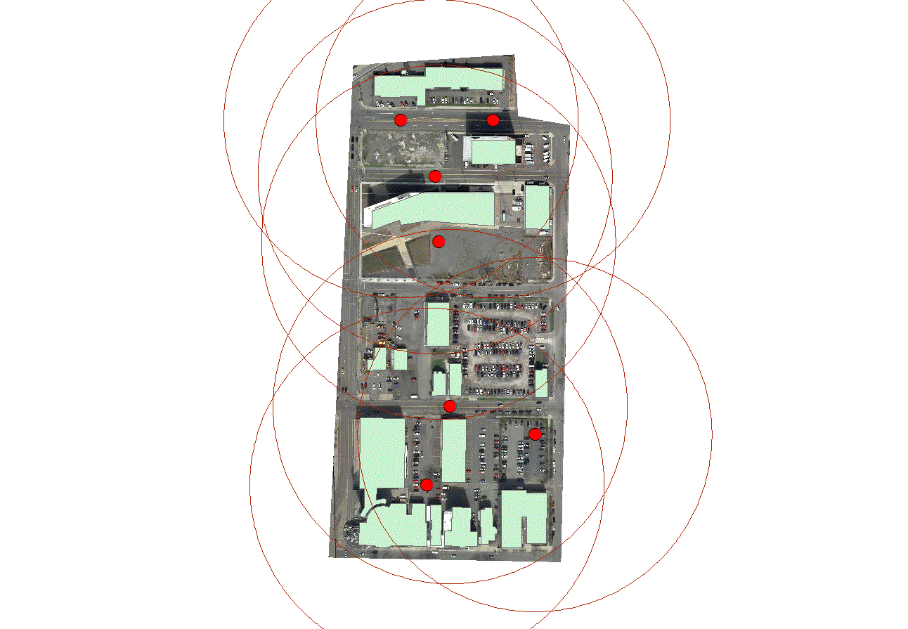
Many thanks.
Peng
- Mark as New
- Bookmark
- Subscribe
- Mute
- Subscribe to RSS Feed
- Permalink
Haven't look at this toolset in any detail but this comment suggests that a building footprint isn't enough and more needs to be added to work as an obstruction if your points are indeed at street level
Input Features may be any combination of multipatches, polylines, and polygons. Polyline and polygon features will only be accepted as 3D layers with base height and extrusion information.
- Mark as New
- Bookmark
- Subscribe
- Mute
- Subscribe to RSS Feed
- Permalink
Dan,
Thanks for your input, which helped us to realize what we did wrong:
First, we should do this in ArcScene, rather than ArcMap, though 3D analysis is still available in the latter;
Second, for both buildings and points data, we should run a function 'Feature to 3D by Attribute' in 3D Attribute toolset. This will change both data from 2D into actual 3D data;
Third, then we run 'skyline' using these two converted 3D data. This time, we could see the appropriate skylines generated.
Some more comments/thoughts/queries:
(1) the range of skylines is determined by the values in 'Virtual Surface Radius' (make sure to use the same unit as that in your data);
(2) if you want to use the skylines to calculate skyline graph, then the range of skylines will not affect the calculation of angles;
(3) currently, we simply assume that the base level of the point data is the same as that of the buildings, e.g., if the height of a point is 0, then it meanse the skyline from this point starts from 'ground' on which the buildings are based. We are not sure if this is a correct assumption. Also, this ignores the impact of terrain. We have DEM of the same area, but we are not sure if we use DEM to define 'Input Surface', how should we adjust the base level of both points and buildings. Should we simply add the elevations at their locations to points and buildings? I thank anyone who may provide some insight.
Peng
- Mark as New
- Bookmark
- Subscribe
- Mute
- Subscribe to RSS Feed
- Permalink
You can assign the base heights of the features as the DEM, that will properly place them on the surface of the dem in arcscene, otherwise, they will be below the surface as you will find out. It is in the same section assigning base heights and optional extrusion.
- Mark as New
- Bookmark
- Subscribe
- Mute
- Subscribe to RSS Feed
- Permalink
With absolute building height, adding DEM surface does not solve the problem. I just tried that. I think this is because elevation values might be say 200 feet, while the building heights are 30 feet. Maybe I should add the elevation value to the building value before doing this?
- Mark as New
- Bookmark
- Subscribe
- Mute
- Subscribe to RSS Feed
- Permalink
I am having trouble with the skyline tool, specifically when using an input DEM surface. I either get an error that the "coordinates or measures are out of bounds". I am working in a geodatabase. I have made sure both the observer points and DEM are in the same projection, and that the observer points are well above the DEM. Or, I get an output, but the skyline attribute table lists -1 for ORIGFTR_ID and there is no geometry. Any suggestions? If I run the tool without the DEM it works fine, but it's the DEM that is necessary for my study.
- Mark as New
- Bookmark
- Subscribe
- Mute
- Subscribe to RSS Feed
- Permalink
your dem is in projected coordinates, I hope
- Mark as New
- Bookmark
- Subscribe
- Mute
- Subscribe to RSS Feed
- Permalink
Hi all,
Have you ever tried running the skyline tool using the Esri Terrain image server for the elevation surface?
In my experience it's really slow, also using a relatively small radius (5 km) and only one observer 3d poin it it takes a very long time (tens of minutes).
Do you have any hint or suggestion on how to trying speed up the things?
Thanks in advance
Damiano