- Home
- :
- All Communities
- :
- Products
- :
- ArcGIS Spatial Analyst
- :
- ArcGIS Spatial Analyst Questions
- :
- Re: Problem with tabulate area
- Subscribe to RSS Feed
- Mark Topic as New
- Mark Topic as Read
- Float this Topic for Current User
- Bookmark
- Subscribe
- Mute
- Printer Friendly Page
Problem with tabulate area
- Mark as New
- Bookmark
- Subscribe
- Mute
- Subscribe to RSS Feed
- Permalink
I have a problem with Tabulate area tool.
All the area of the grid is assigned to on landuse class although the grid has multiple classes in it.
all the data (grids and land use) have the same projection. #tabulate area
- Mark as New
- Bookmark
- Subscribe
- Mute
- Subscribe to RSS Feed
- Permalink
Hi Isaac,
For some reason the image you uploaded is not displaying. It would good to see the overlay of your land use and grid of multiple classes.
Please also mention the cell sizes of your inputs and if you set any environment such as extent, cell size, snap raster and output coordinate system while running the tool.
Thanks
Noman
Esri, Redlands, CA
- Mark as New
- Bookmark
- Subscribe
- Mute
- Subscribe to RSS Feed
- Permalink
Hi, Nawajish Noman
I inserted the image again.
I figured out that my problem was with accepting the default Processing cell size. Therefore, I run it one more time setting it to a much lower value. I will like to now add to my initial question on an appropriate cell size if my grids are 1 km X 1 km and my land use (vector) are as detailed as that of open street map. I do not have any environment settings and my output is a table without a spatial reference.
Thank you.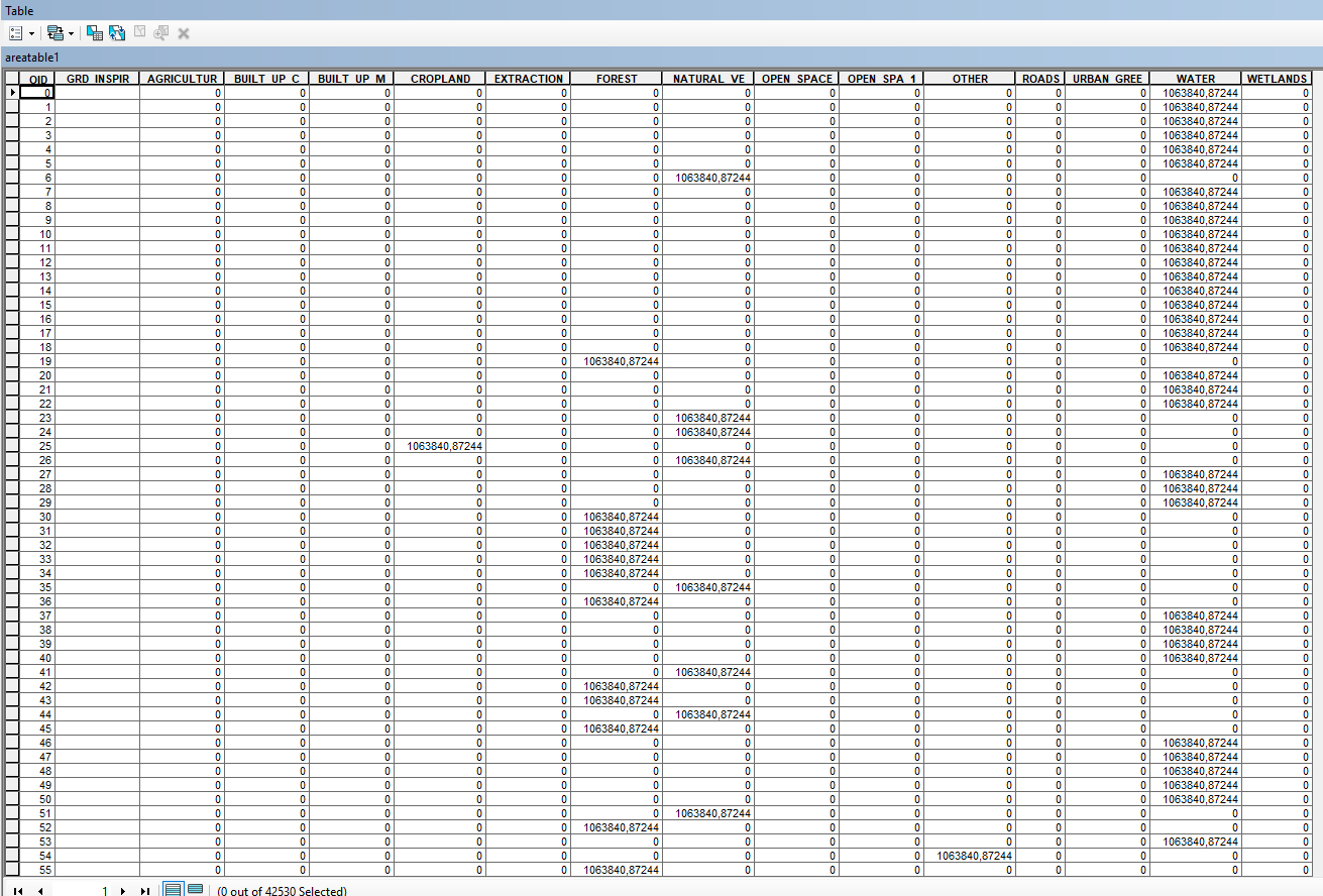
- Mark as New
- Bookmark
- Subscribe
- Mute
- Subscribe to RSS Feed
- Permalink
Hi Isaac,
I am glad that it is now working for you.
I will try to make some comments regarding your question, "I will like to now add to my initial question on an appropriate cell size if my grids are 1 km X 1 km and my land use (vector) are as detailed as that of open street map."
It's the classic analysis challenge of combining raster and features together in a raster analysis, where features are internally converted to a raster before performing the analysis. The analysis cell size and the cell alignment (controlled by the Snap Raster environment setting) become the key factors and the accuracy of the output depends on them.
So what's the appropriate appropriate cell size? It depends....
If you have two raster of different cell sizes, we use the larger cell size as the default because by using the smaller cell size, we will be creating data for the other raster that does not exist. The flip side is, by using larger cell size, we may lose the data that exists in the higher resolution raster. So, we take an analytically conservative approach with a larger cell size as the default, but as the analyst, you can control the cell size and specify a size that suits your analytical need.
If you have a raster and a feature class as inputs, the first approach might be to use the cell size of the raster for analysis. And use the input raster and the snap raster as well. However, if the cell size does not capture the details presented in the features (think features to raster conversion), you may want to make the cell size smaller.
A blog written by one of my colleagues about Zonal Statistics will shade some light on the process of internal conversion of a feature to a raster for raster analysis and the effect on the output.
Getting the most out of Zonal Statistics
Hope it helps!
Thanks
Noman
Esri, Redlands, CA