- Home
- :
- All Communities
- :
- Products
- :
- ArcGIS Spatial Analyst
- :
- ArcGIS Spatial Analyst Questions
- :
- Point Density Error
- Subscribe to RSS Feed
- Mark Topic as New
- Mark Topic as Read
- Float this Topic for Current User
- Bookmark
- Subscribe
- Mute
- Printer Friendly Page
Point Density Error
- Mark as New
- Bookmark
- Subscribe
- Mute
- Subscribe to RSS Feed
- Permalink
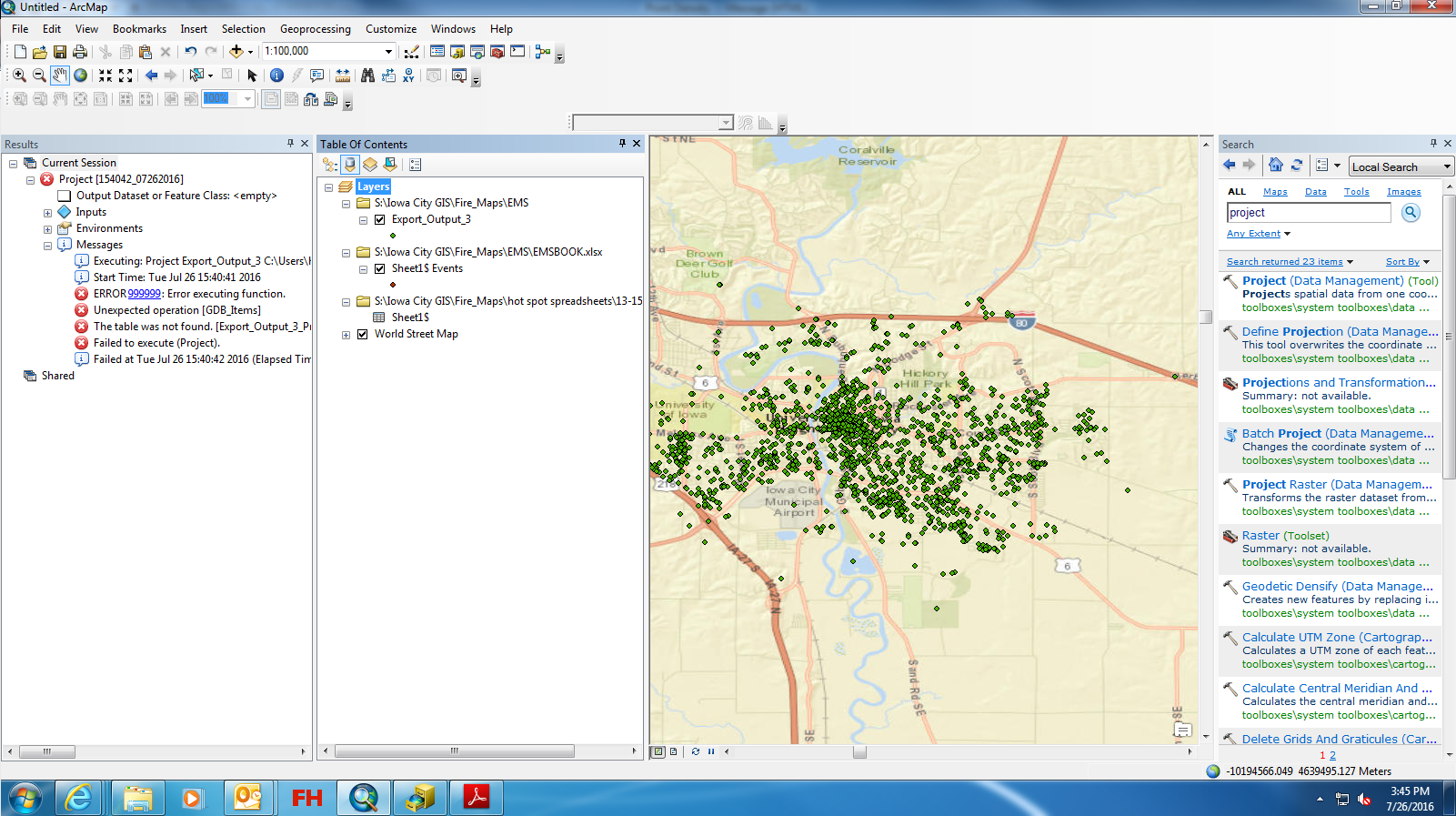
I am working with an excel document of lat/long data and I have displayed the xy data and exported the data and now I am trying to run a point density analysis, however I keep receiving the attached error. I am not sure how to create a spatial reference and I don't remember experiencing this problem in the past while running this tool. I am using coordinate system WGS 1984.
- Mark as New
- Bookmark
- Subscribe
- Mute
- Subscribe to RSS Feed
- Permalink
I meant the featureclass...
If you open that featureclass's table is there an OBJECTID field?
- Mark as New
- Bookmark
- Subscribe
- Mute
- Subscribe to RSS Feed
- Permalink
yes there is
- Mark as New
- Bookmark
- Subscribe
- Mute
- Subscribe to RSS Feed
- Permalink
then export the featureclass so we can have a look at it. If the file is fine, then it is your working environment, which I assume by now, you have changed so that you are working with locally stored data in a simple folder. paths and other unsavoury but permitted environment settings can make a good thing bad.
PS you did check the spaces in path thing?
- Mark as New
- Bookmark
- Subscribe
- Mute
- Subscribe to RSS Feed
- Permalink
File received was empty, issue not followed up
- « Previous
-
- 1
- 2
- Next »
- « Previous
-
- 1
- 2
- Next »
