- Home
- :
- All Communities
- :
- Products
- :
- ArcGIS Spatial Analyst
- :
- ArcGIS Spatial Analyst Questions
- :
- Re: how to interpolation contour?
- Subscribe to RSS Feed
- Mark Topic as New
- Mark Topic as Read
- Float this Topic for Current User
- Bookmark
- Subscribe
- Mute
- Printer Friendly Page
how to interpolation contour?
- Mark as New
- Bookmark
- Subscribe
- Mute
- Subscribe to RSS Feed
- Permalink
i have contour points and elevations, however it not work when use the interpolation in arc toolbox..... help and explain me please......
- Mark as New
- Bookmark
- Subscribe
- Mute
- Subscribe to RSS Feed
- Permalink
check the help files for TopoToRaster This requires the Spatial analyst extension
- Mark as New
- Bookmark
- Subscribe
- Mute
- Subscribe to RSS Feed
- Permalink
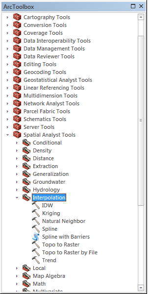
I would suggest reading the Help files provided with ArcGIS. In the Spatial Analyst toolbox, there are a few toolboxes that will interpolate the points to a surface using various methods. Each tool has help associated with it (just right click and select Help) some are very simple tools and some use some very complex formulas to interpolate the surface. There is a a lot of useful information in the help.
In short, you will take your points convert them to a raster, then take your raster and create the contours from it.
- Mark as New
- Bookmark
- Subscribe
- Mute
- Subscribe to RSS Feed
- Permalink
Thank you so much.....