- Home
- :
- All Communities
- :
- Products
- :
- ArcGIS Spatial Analyst
- :
- ArcGIS Spatial Analyst Questions
- :
- How to get value from a Raster?
- Subscribe to RSS Feed
- Mark Topic as New
- Mark Topic as Read
- Float this Topic for Current User
- Bookmark
- Subscribe
- Mute
- Printer Friendly Page
- Mark as New
- Bookmark
- Subscribe
- Mute
- Subscribe to RSS Feed
- Permalink
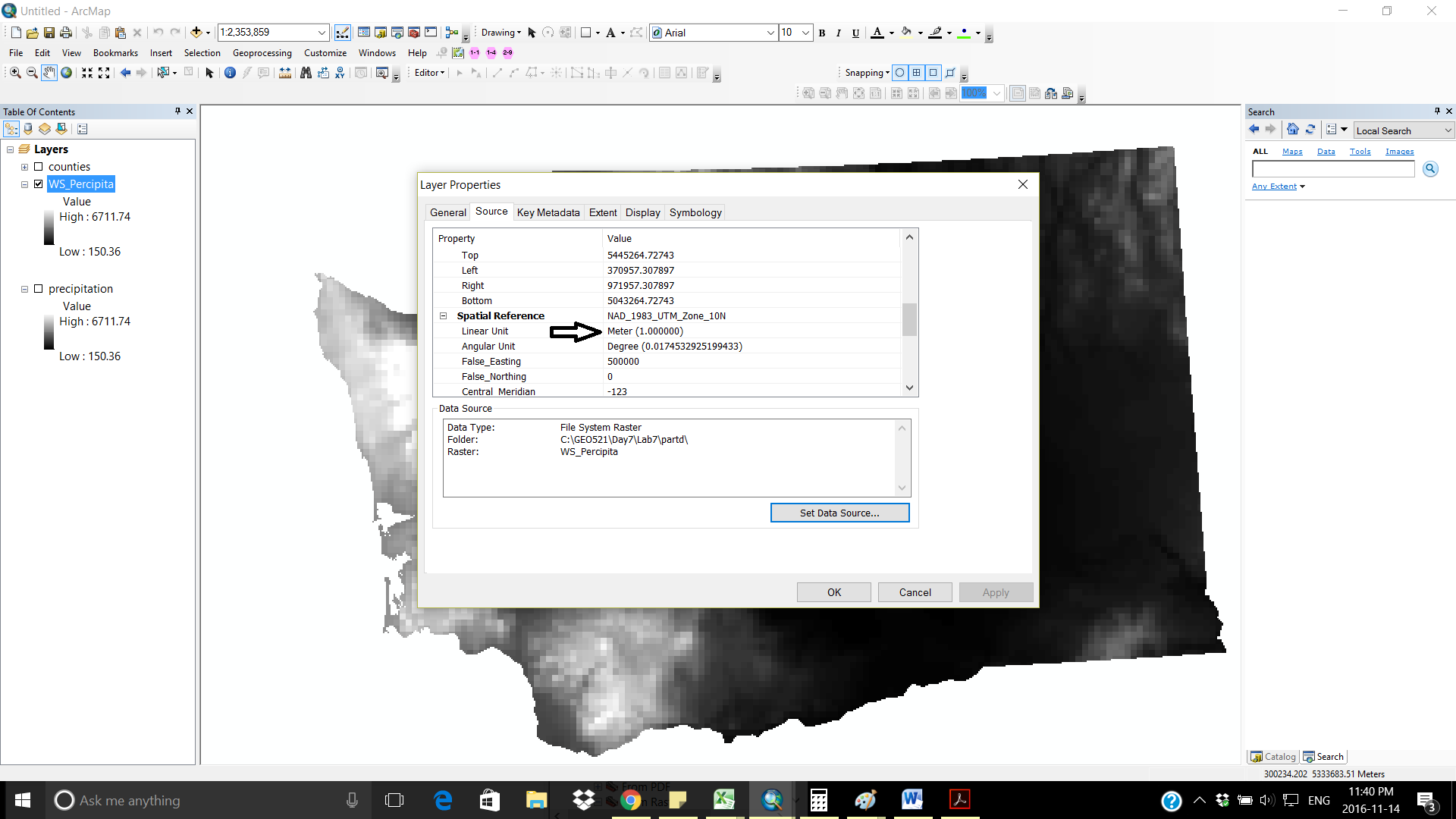
I have a Raster precipitation, lets say for Washington state and I have vector study area of that state. I want to get the precipitation in mm/year and the information is in my raster( precipitation) I tried to clip my raster to my study area and now the next step is to get precipitation in mm/year in min , max or average. Can anyone help me how get that ? one way is to right click on Raster for property and there I can see the max , min and average but I am not about this.
Solved! Go to Solution.
- Mark as New
- Bookmark
- Subscribe
- Mute
- Subscribe to RSS Feed
- Permalink
No I just want to get the precipitation of a state in mm/year.
- Mark as New
- Bookmark
- Subscribe
- Mute
- Subscribe to RSS Feed
- Permalink
given the file path noted in the dialog... it appears that it is a lab assignment, so perhaps the seemingly large values are not implausible... but constructed ... and if it is washington state perhaps, it wouldn't surprise me that the z values were not meters but feet.
- Mark as New
- Bookmark
- Subscribe
- Mute
- Subscribe to RSS Feed
- Permalink
That can be constructed for an assignment perhaps to avoid the extra step of accounting for the z-factor needed to translate to feet. The point I made is that the discussion on the plausibility of the values is moot.
- Mark as New
- Bookmark
- Subscribe
- Mute
- Subscribe to RSS Feed
- Permalink
I respect you very much sir if you can you use simple English it will help learners to understand it quickly. I used google translation for " plausibility of the values is moot" and I got the point. I am also dont get it that why one of my professor use very technical words and expressions! the point is to understand the topic and learn it.
- « Previous
-
- 1
- 2
- Next »
- « Previous
-
- 1
- 2
- Next »