Turn on suggestions
Auto-suggest helps you quickly narrow down your search results by suggesting possible matches as you type.
Cancel
- Home
- :
- All Communities
- :
- Products
- :
- ArcGIS Solutions
- :
- ArcGIS Solutions Questions
- :
- What is the easiest way to create a polygon that d...
Options
- Subscribe to RSS Feed
- Mark Topic as New
- Mark Topic as Read
- Float this Topic for Current User
- Bookmark
- Subscribe
- Mute
- Printer Friendly Page
What is the easiest way to create a polygon that defines a coastal research area?
Subscribe
1426
1
01-22-2019 09:52 AM
01-22-2019
09:52 AM
- Mark as New
- Bookmark
- Subscribe
- Mute
- Subscribe to RSS Feed
- Permalink
I need to create a polygon that outlines the study area for research on bottlenose dolphin populations. It would need outline the coastline and extend to a defined buffer distance offshore. I have coordinates for the northern and southern boundaries. What would be the easiest way to go about this, without drawing it vertex by vertex?
I'm going to use ArcMap 10.6 or ArcGIS Online.
1 Reply
01-22-2019
02:41 PM
- Mark as New
- Bookmark
- Subscribe
- Mute
- Subscribe to RSS Feed
- Permalink
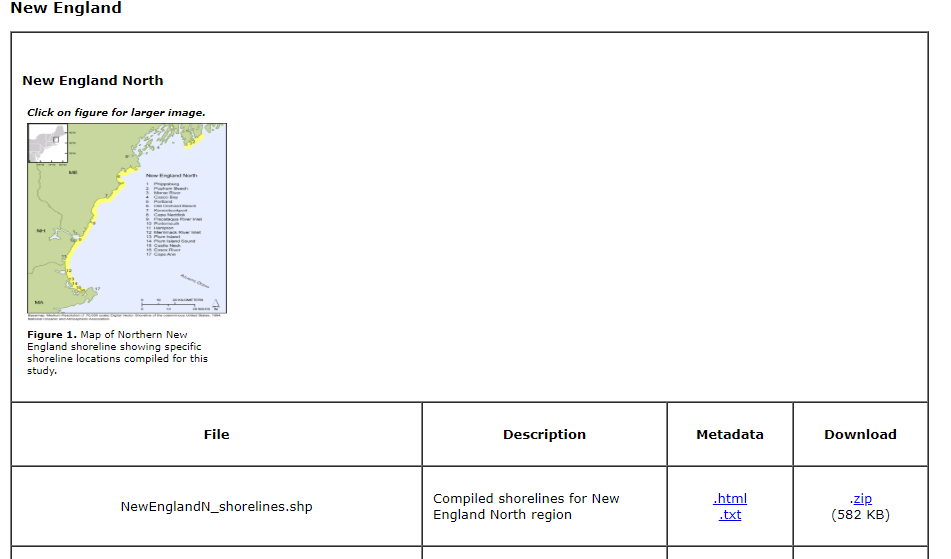
I'd start here - NOAA Shoreline Website, I see that they do indeed have shoreline vector data, it's split into the following groups:

Clicking on any of the links brings you to the corresponding USGS page with the data download link:
Hope this helps.