- Home
- :
- All Communities
- :
- Products
- :
- ArcGIS Solutions
- :
- ArcGIS Solutions Ideas
- :
- Photo Gallery
- Subscribe to RSS Feed
- Mark as New
- Mark as Read
- Bookmark
- Follow this Idea
- Printer Friendly Page
- Mark as New
- Bookmark
- Subscribe
- Mute
- Subscribe to RSS Feed
- Permalink
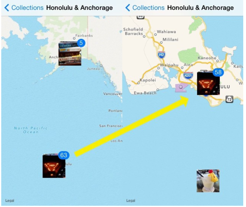
It would be great if there was a way to see where photos were taken on a map and in a gallery. Like the iphone photo app but using esri technology. In a few years we plan to have thousands of photos and want a better way to view them then looking through file explorer.

My department is starting to take pictures around town. An example would be of exposed pipe before it gets reburied. These photos are geo-located.
That would be a great idea. I was looking for something like this, the posibility to show an image in a label, not in a pop up, in order to print a map with pictures linked to a feature (point or line).
Also see this ArcGIS Idea Photo App for Survey123 / Collector and a prototype someone just posted to GitHub GitHub - nzjs/ESRI-Feature-Service-Attachment-Gallery: A tool that generates a custom URL for viewin... Rickey Fite
You must be a registered user to add a comment. If you've already registered, sign in. Otherwise, register and sign in.