In my app i'm using ESRI web service maps:
http://services.arcgisonline.com/arcgis/rest/services/World_Imagery/MapServer
I'm loading the map into a ArcGISTiledMapServiceLayer layer and when the event for Layer loaded is up, i set the extent & scale as so:
double minscale = layer.getMinScale();
double maxscale = layer.getMaxScale();
CustomMapView.this.setMaxScale(maxscale);
CustomMapView.this.setMinScale(minscale);
Envelope boundaries = layer.getFullExtent();
CustomMapView.this.setMaxExtent(boundaries);
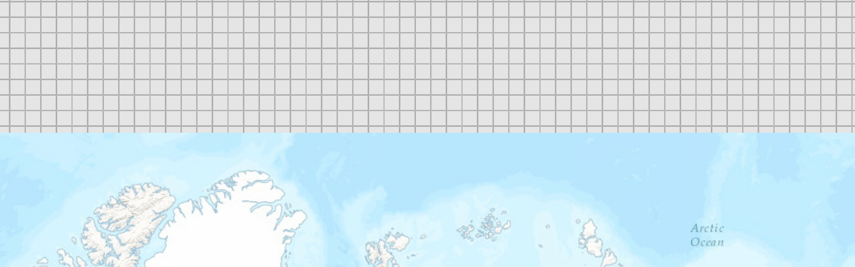
But it doesn't work, and i can pan up and down to see the square grid.
Why is that?
How do i fix it?