- Home
- :
- All Communities
- :
- Products
- :
- ArcGIS Pro
- :
- ArcGIS Pro Questions
- :
- Wrong final radius drawing a circle
- Subscribe to RSS Feed
- Mark Topic as New
- Mark Topic as Read
- Float this Topic for Current User
- Bookmark
- Subscribe
- Mute
- Printer Friendly Page
Wrong final radius drawing a circle
- Mark as New
- Bookmark
- Subscribe
- Mute
- Subscribe to RSS Feed
- Permalink
are your visuals a different example since the numbers don't match... but I do see some inner and outer radius thing going on
- Mark as New
- Bookmark
- Subscribe
- Mute
- Subscribe to RSS Feed
- Permalink
Yes the visual are different too, what do you mean by inner and outer radius?
Sent from my iPhone
- Mark as New
- Bookmark
- Subscribe
- Mute
- Subscribe to RSS Feed
- Permalink
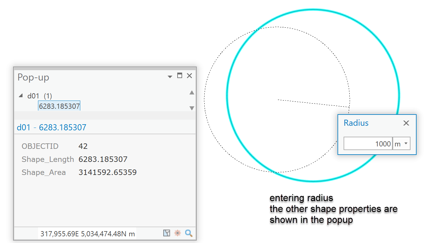
I just tried with drawing a simple radius for a circle and I get the expected perimeter and area for a circle with a radius of 1000m

- Mark as New
- Bookmark
- Subscribe
- Mute
- Subscribe to RSS Feed
- Permalink
Hi Dan, yes yours look just right, mine when I do that the result is different.. IDK what to do
- Mark as New
- Bookmark
- Subscribe
- Mute
- Subscribe to RSS Feed
- Permalink
It appears measurement issues are related to a coordinate system having 'tainted' the map. Anything that may be added first to a map (or dataframe) sets the coordinate system. I always suspect Web Mercator as the root problem when the measurement differences aren't purely a meters vs feet issue.
- Mark as New
- Bookmark
- Subscribe
- Mute
- Subscribe to RSS Feed
- Permalink
Tks for your insights Dan, yes I'm using Web Mercartor WGS 1984, and working with feet on my measurements, you thinks that's the problem? Should I change my spatial reference?
- Mark as New
- Bookmark
- Subscribe
- Mute
- Subscribe to RSS Feed
- Permalink
That IS the problem. Web Mercator produces erroneous measurements for length, perimeter and area. It is well documented, but continue to use it for some reason
FAQ: Why are my map, distance and area measurements wrong when using WGS 1984 Web Mercator?
And it isn't just esri, but anything 'Googly' that does mapping. It is designed for looking at.,. not doing with. Until they have automatic 'fixes' in all software, we have banned anything 'webbie' as basemaps or layers in our teaching, because the temptation to 'measure' something in some software that use it is too great
- Mark as New
- Bookmark
- Subscribe
- Mute
- Subscribe to RSS Feed
- Permalink
Tks Dan, I'm from Brazil and there I was using SIRGAS 2000, recently I moved to Texas USA and thought that WGS 84 would be suitable, didn't know about that issue. Tks for letting me know!!
- Mark as New
- Bookmark
- Subscribe
- Mute
- Subscribe to RSS Feed
- Permalink
Not to nitpick, but the issue isn't with WGS84. There is nothing wrong, inaccurate, or imprecise about the WGS84 datum, it is the Web Mercator projection based on WGS84 datum that creates these issues.