- Home
- :
- All Communities
- :
- Products
- :
- ArcGIS Pro
- :
- ArcGIS Pro Questions
- :
- Re: Troubles Clipping a Raster
- Subscribe to RSS Feed
- Mark Topic as New
- Mark Topic as Read
- Float this Topic for Current User
- Bookmark
- Subscribe
- Mute
- Printer Friendly Page
Troubles Clipping a Raster
- Mark as New
- Bookmark
- Subscribe
- Mute
- Subscribe to RSS Feed
- Permalink
Hi all! I am working on a project involving reforestation issues. I have my raster (showing a large community) and a polygon representing the specific area of study. I tried using the clip raster tool, but it is not giving me the expected results...the raster is still much larger than the polygon and the tool did not clip exactly to the area of study. I have attached a photo showing. Any ideas on how to fix this or another tool I should be using instead? Thanks in advance.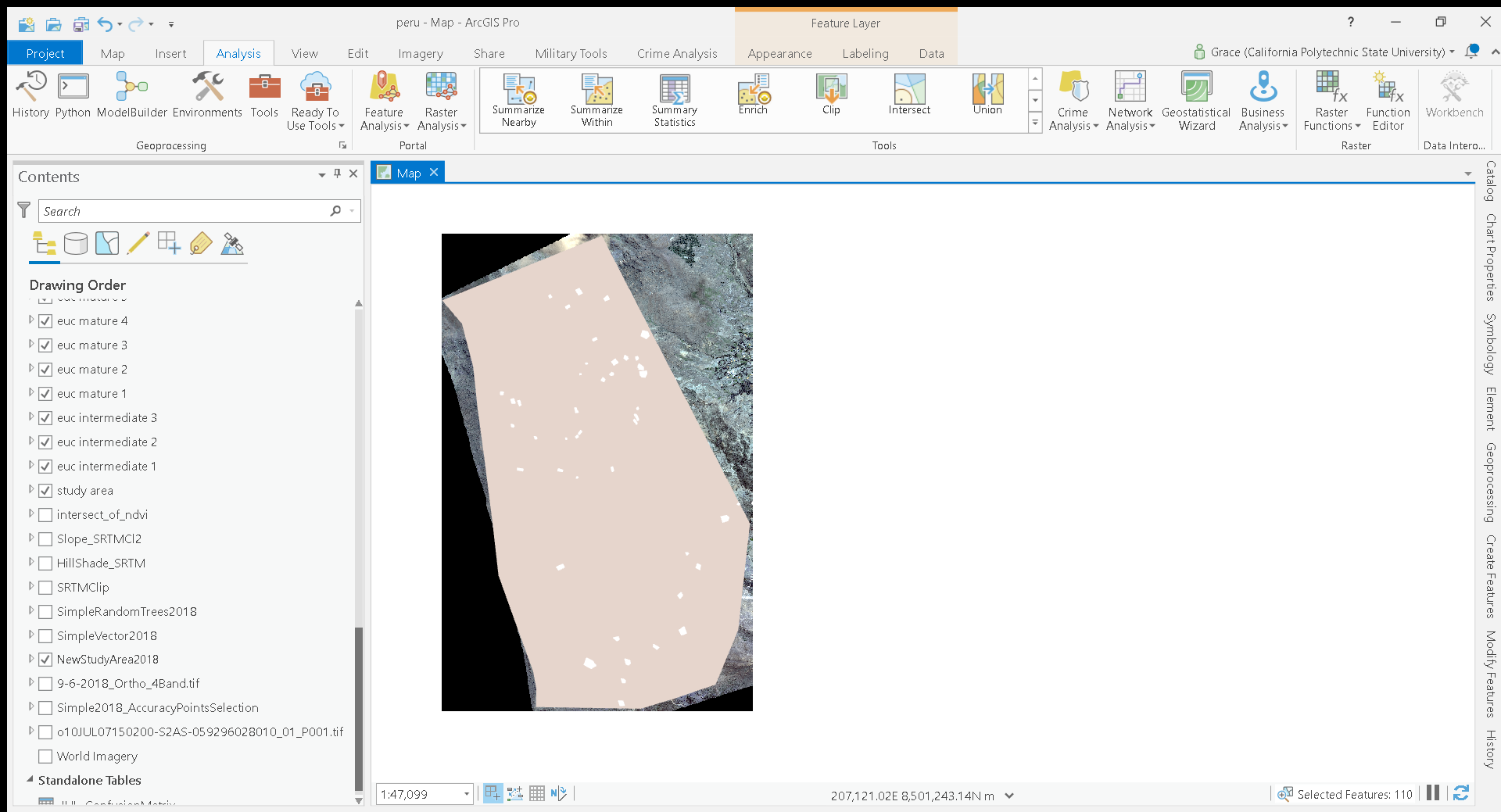
- Mark as New
- Bookmark
- Subscribe
- Mute
- Subscribe to RSS Feed
- Permalink
Hi Grace
You have posted this question under the wrong software discussion group in Geonet, ArcGIS Earth, and not ArcGIS Pro as your screenshot shows. I am not sure how you would move it.
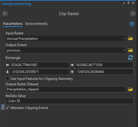
The Clip Raster tool is available in ArcGIS Pro and should work for your need. Did you select the option (checkbox) for "Use Input Features for Clipping Geometry when running the tool. If you dont select this option then the output will not honor the shape of the clipping polygon.
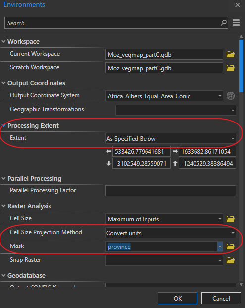
It is good practice to also make use of the Environments tab and set the processing extent and any other options you require.
- Mark as New
- Bookmark
- Subscribe
- Mute
- Subscribe to RSS Feed
- Permalink
Hi Mervyn, that is weird... it is telling me I posted to an ArcGIS Pro group. I tried what you mentioned and it still giving me the same output. I will look into posting this to another group.
- Mark as New
- Bookmark
- Subscribe
- Mute
- Subscribe to RSS Feed
- Permalink
Hi Grace
That is weird, this morning your post was displaying under ArcGIS Earth but now under ArcGIS Pro. But not important.
I see now that when I created the screen grab for you, I accidentally checked the wrong box. My mistake. The text is correct but not the screen-grab. Please make sure you check the Use Input Features for Clipping Geometry check-box.
One should be careful when clipping a raster and using the Maintain Clipping Extent option as it alters the geometry of the original input raster by trying to ensure that it fits exactly within the clipping polygon, so it may assign a new starting coordinate and subsequently resample the raster pixels which is never good practice when working with rasters. The resulting output will most likely be slightly less accurate than the original input raster.
Another option for you to try will be to set the extent and mask. Setting the mask is another one of the Environment settings option but available under the Analysis tab and the Geoprocessing group. Do see the below screen grab. When working with rasters I often set these two options but afterwards I try and make a point of changing it back to the defaults otherwise 6 months from now it can cause some head scratching when rerunning a different tool in the same Pro project.
- Mark as New
- Bookmark
- Subscribe
- Mute
- Subscribe to RSS Feed
- Permalink
Hi there, what are the details of your extent rectangle, and how did you decide upon them?