- Home
- :
- All Communities
- :
- Products
- :
- ArcGIS Pro
- :
- ArcGIS Pro Questions
- :
- Street Address Range Labeling
- Subscribe to RSS Feed
- Mark Topic as New
- Mark Topic as Read
- Float this Topic for Current User
- Bookmark
- Subscribe
- Mute
- Printer Friendly Page
Street Address Range Labeling
- Mark as New
- Bookmark
- Subscribe
- Mute
- Subscribe to RSS Feed
- Permalink
Do not have a true address range grid and addressing I somewhat sporadic. Am trying to fulfill a request for a map that displays address ranges so the end user can decipher the transition of ranges pertaining to district boundaries.
Have gone through the SOP Label street address ranges—ArcGIS Pro | Documentation , but the centerline I am using is not processed to depict the width of the street like you would see with the Open Street Map streets.
The goal would be to have four label classes:
- Left To & Right To Even
- Left To & Right To Odd
- Left From & Right From Even
- Left From & Right From Odd
I do have an edge of pavement layer that I could work with using the centerline data in a spatial join.
Feedback would be appreciated.
Thanks

- Mark as New
- Bookmark
- Subscribe
- Mute
- Subscribe to RSS Feed
- Permalink
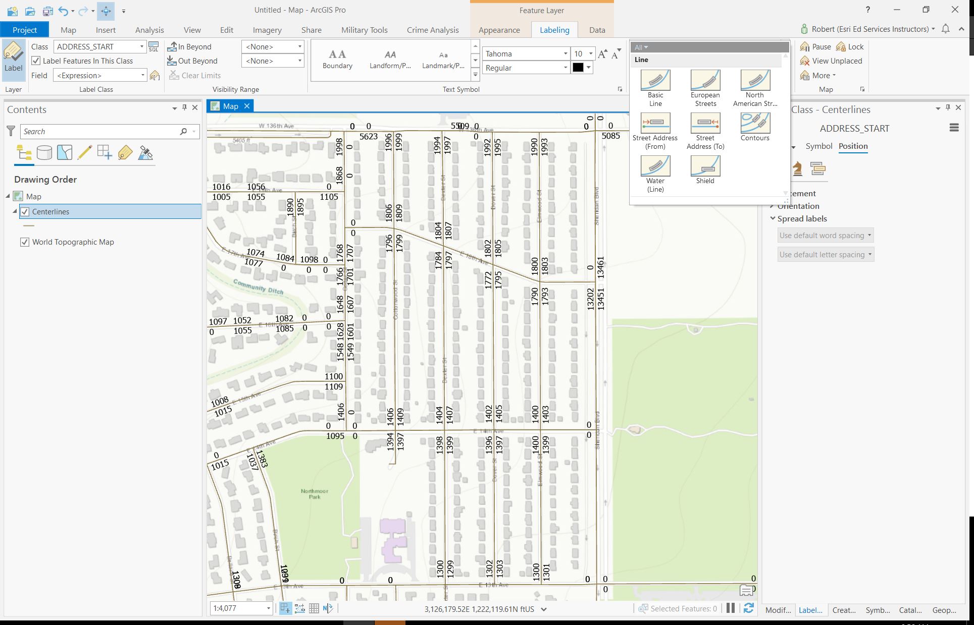
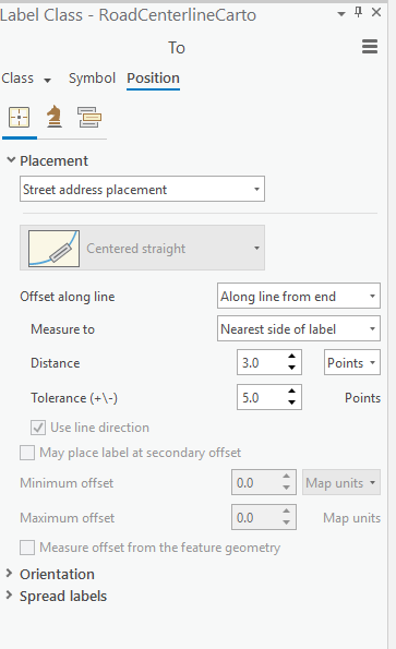
Hi Brian - on the Labeling contextual tab, in the Label Placement group, there's a Street Address (from) and a Street Address (to) label placement format that might work for you. I used some Broomfield, CO centerline data with 4 numeric attribute fields of LeftFrom, LeftTo, RightFrom and RightTo and created something like this with 2 label classes. Is this what you're seeing to do? Please advise.
- Mark as New
- Bookmark
- Subscribe
- Mute
- Subscribe to RSS Feed
- Permalink
Yes, you are correct. I would like to set up the labeling as you have then relate the ranges to the districts. Unfortunate this is going to be a rather large wall map instead of a web service.
Right now I have I have my map set up according to the ESRI SOP Label street address ranges—ArcGIS Pro | Documentation and then went ahead and used the Labeling contextual table like you stated.

This is what it look like after changing the label placement to Street Address From / To for the respective class.
Still very wonky.
- Mark as New
- Bookmark
- Subscribe
- Mute
- Subscribe to RSS Feed
- Permalink
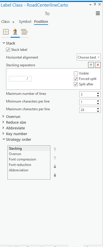
Interesting. Question for you - did you apply the 2nd label option for either left or right to the other Label Class? It looks like the RightTo/LeftTo is not honoring the Label Placement template and is above the line.
- Mark as New
- Bookmark
- Subscribe
- Mute
- Subscribe to RSS Feed
- Permalink
Do you mean the secondary offset?


- Mark as New
- Bookmark
- Subscribe
- Mute
- Subscribe to RSS Feed
- Permalink
I think the problem might lie with the segmentation of the center line and it being segmented at alleys and other non-major intersections.
Is the data your using segmented at every intersection?
- Mark as New
- Bookmark
- Subscribe
- Mute
- Subscribe to RSS Feed
- Permalink
I think you may be right. The data I'm using is a mix of segmented at every intersection and every block. So in some cases I see similar results.