Hi all!
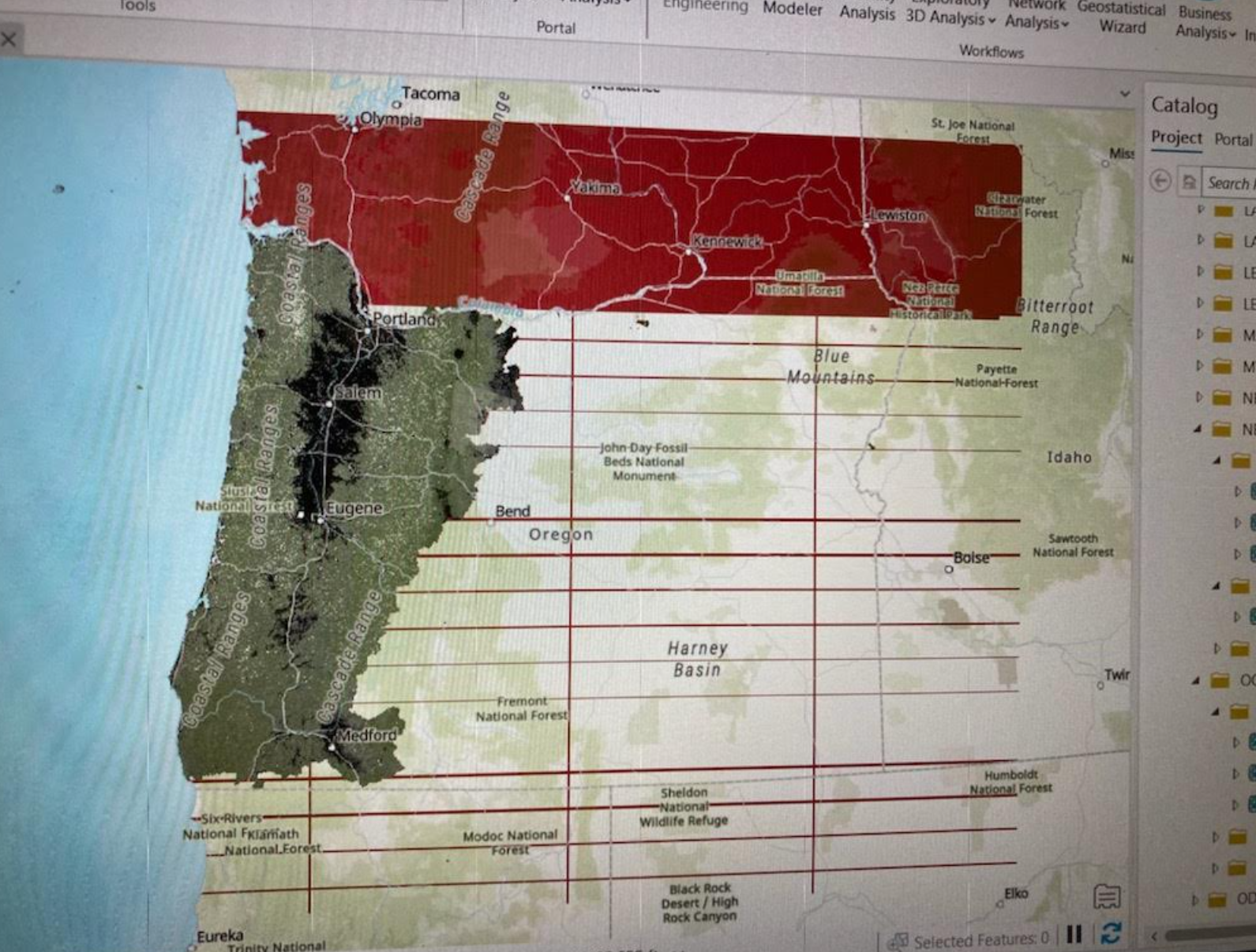
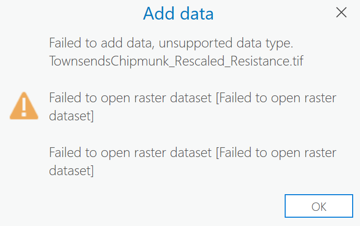
I am working with some rasters that worked fine a few months ago. But now when I drag them into the map, they do not draw correctly at all, and I am at a bit of a loss for why. After the rasters don't draw the first time, they stop being able to be opened at all. I get an error message that says: "Failed to open raster dataset". We have a lot of rasters like these ones that continue to work fine, there's just a set that seem to have given up!
Has anyone had any experience with this? It's strange because these datasets worked perfectly fine before and haven't (as far as I am aware) been changed at all.
Drawing Error (note one raster is drawing correctly underneath the error. The error is the red grid thing):
Error Message:
Thanks!
Lauren



