- Home
- :
- All Communities
- :
- Products
- :
- ArcGIS Pro
- :
- ArcGIS Pro Questions
- :
- Point features exporting to pdf map offset in PDF?
- Subscribe to RSS Feed
- Mark Topic as New
- Mark Topic as Read
- Float this Topic for Current User
- Bookmark
- Subscribe
- Mute
- Printer Friendly Page
Point features exporting to pdf map offset in PDF?
- Mark as New
- Bookmark
- Subscribe
- Mute
- Subscribe to RSS Feed
- Permalink
When exporting layout to pdf map, point features are sometimes offset in the exported PDF, but look fine in the layout in ArcPro. Sometimes changing symbology helps, but it doesn't solve the problem entirely. Anyone else having this issue?? Any help is greatly appreciated. Screenshots below for more context.
ArcPro version 3.4.3
- Mark as New
- Bookmark
- Subscribe
- Mute
- Subscribe to RSS Feed
- Permalink
That's interesting behavior. Are you using a map series? Is the data in a graphics layer? And can you share the export settings you have?
Aubri
- Mark as New
- Bookmark
- Subscribe
- Mute
- Subscribe to RSS Feed
- Permalink
Interesting. I don't see anything in the export settings that gives cause for concern. You could try it with Output as Image selected and see if that resolves the problem. It rasterizes the entire map in the output.
Aubri
- Mark as New
- Bookmark
- Subscribe
- Mute
- Subscribe to RSS Feed
- Permalink
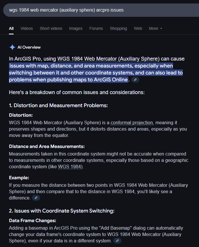
I think I figured it out. It has to do with conflicting/different coordinate systems between layers in the aprx I'm using to generate maps. The layer with the offset is set to wgs 1984 web mercator (auxiliary sphere), and the others set to their local state plane coordinate system. According to google and other forums, that auxiliary sphere coordinate system can cause projection issues when there are other layers in the aprx with different projections/coordinate systems... See my attachment below.
- Mark as New
- Bookmark
- Subscribe
- Mute
- Subscribe to RSS Feed
- Permalink
Adding to the questions - are you using a script to export? Are you using the PDF presets or clicking the button to Export?
- Mark as New
- Bookmark
- Subscribe
- Mute
- Subscribe to RSS Feed
- Permalink
Hi Robert,
Not sure what you mean by script, but I'm using a def query to run the map's, yes. I am not using any PDF presets as I'd like to be able to update the settings I need.