- Home
- :
- All Communities
- :
- Products
- :
- ArcGIS Pro
- :
- ArcGIS Pro Questions
- :
- Re: LiDAR data (.las) reference system unknown
- Subscribe to RSS Feed
- Mark Topic as New
- Mark Topic as Read
- Float this Topic for Current User
- Bookmark
- Subscribe
- Mute
- Printer Friendly Page
LiDAR data (.las) reference system unknown
- Mark as New
- Bookmark
- Subscribe
- Mute
- Subscribe to RSS Feed
- Permalink
Hi everyone,
I have a problem with my data LiDAR (.las). I think the data is in RGF 93 lambert 93 due to their coordinate when I put the .las in CloudCompare. But, when I try to insert .las in ArcGIS Pro, my data is not at their "good" location in the map and when I check the properties, indeed the reference system is unknow.
How can I fixe it ?
My goal is to add a reference system to my LiDAR data in order to have the data in the good place in my map.
Thanks a lot for your answer,
Eva
- Mark as New
- Bookmark
- Subscribe
- Mute
- Subscribe to RSS Feed
- Permalink
You could try the Create PRJ for LAS https://www.arcgis.com/home/item.html?id=fe221371b77940749ff96e90f2de3d10 The requirements on that page don't specifically include ArcGIS Pro so I'm not sure they'll run directly in Pro.
- Mark as New
- Bookmark
- Subscribe
- Mute
- Subscribe to RSS Feed
- Permalink
Hi,
I try but I didn't find the appropriate toolbox to fixe my problem.
My LAS data don't go to the right place when I insert the las file.
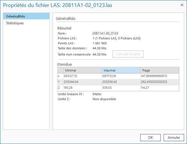
I put in attached files the properties of my raw files without any transformation.
Thanks for your help,
Eva