- Home
- :
- All Communities
- :
- Products
- :
- ArcGIS Pro
- :
- ArcGIS Pro Questions
- :
- Identify Imagery Date in ArcGIS Pro?
- Subscribe to RSS Feed
- Mark Topic as New
- Mark Topic as Read
- Float this Topic for Current User
- Bookmark
- Subscribe
- Mute
- Printer Friendly Page
Identify Imagery Date in ArcGIS Pro?

- Mark as New
- Bookmark
- Subscribe
- Mute
- Subscribe to RSS Feed
- Permalink
Is there a way to use the Explore tool in ArcGIS Pro to identify the date a World Imagery Basemap was captured as you could using the Identify tool in ArcMap? This information seems to be missing in the ArcGIS Pro metadata/popups when selecting a World Imagery basemap. You would think this would be one of THE most important things to include in the metadata and is definitely the main piece of information that people ask for when I create a map for them.

- Mark as New
- Bookmark
- Subscribe
- Mute
- Subscribe to RSS Feed
- Permalink
Hi Frank, I realize your post is relatively old, but I was having the same problem and found a solution in Pro v2.6. Maybe it will help...
While in 2D with imagery showing, click the "Explore" drop down arrow and select "Visible Layers". Then when you are using the Explore tool, you can click anywhere on the imagery and the Pop-up window should reveal source info.
- Mark as New
- Bookmark
- Subscribe
- Mute
- Subscribe to RSS Feed
- Permalink
Belated thank you lol!

- Mark as New
- Bookmark
- Subscribe
- Mute
- Subscribe to RSS Feed
- Permalink
Does not work!

- Mark as New
- Bookmark
- Subscribe
- Mute
- Subscribe to RSS Feed
- Permalink
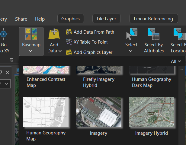
OK, this is crazy, but this does not work in Pro 3.2. How is this so hard to find? Any suggestions?


- Mark as New
- Bookmark
- Subscribe
- Mute
- Subscribe to RSS Feed
- Permalink
Hi there, also realizing this a belated answer, but a couple of suggestions that I use regularly to verify imagery dates:
- Instead of just changing the basemap, I will add the tile layers directly from the Living Atlas (Add data, Living Atlas, filter by Status = Authoritative, search the name of the Basemap). This works in both ArcGIS Pro and ArcGIS Online, and the pop-ups come up immediately with the metadata of the basemap you're using, including the source date and sourcenames. For something like the NAIP basemap, that has a separate metadata layer you can also add from the Living Atlas. Using this in ArcGIS Online (as opposed to Pro) will also highlight the entire tile so you can see the extent of the tile you clicked.
- Use the World Imagery Wayback online--https://livingatlas.arcgis.com/wayback/ . This not only tells you the layer source date and shows how aerial images compare from version to version, but when you click on the map it also shows the exact date the aerial was flown. The dates/versions change at different scales, so make sure you're referencing a scale comparable to your project map that you need to reference. Archived imageries can also be downloaded as .pitemx files and referenced in Pro directly.
Hope this will help someone in the future!
