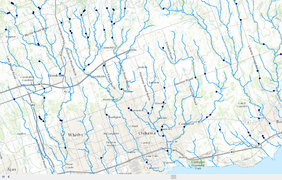
I am trying to figure out if there is a way to calculate area on a line (river) between two points (dam) for an entire watershed. In a way I want to make a corridor of where fish are able to move freely between dams. Any suggestions are appreciated!
396
1
01-24-2020 03:54 PM
