- Home
- :
- All Communities
- :
- Products
- :
- ArcGIS Pro
- :
- ArcGIS Pro Questions
- :
- Extract roof form tool
- Subscribe to RSS Feed
- Mark Topic as New
- Mark Topic as Read
- Float this Topic for Current User
- Bookmark
- Subscribe
- Mute
- Printer Friendly Page
Extract roof form tool
- Mark as New
- Bookmark
- Subscribe
- Mute
- Subscribe to RSS Feed
- Permalink
Hello!
I have a problem while using script for extraction roof forms in ArcGIS Pro, which was described here:
Create elevation layers—Extract Roof Forms for Municipal Development | ArcGIS
Although script works, it doesn't show true results. Less than 10% roofs are classified as hip or gable, and more than 90% are classified as flat which does not correspond to reality. I've computed mean slope for the roofs and I can see, that roof was classified as flat, although his mean slope is around 50 degrees.
When it comes to input I have very accurate LiDAR data and created elevation layers with pixel 0,25m.
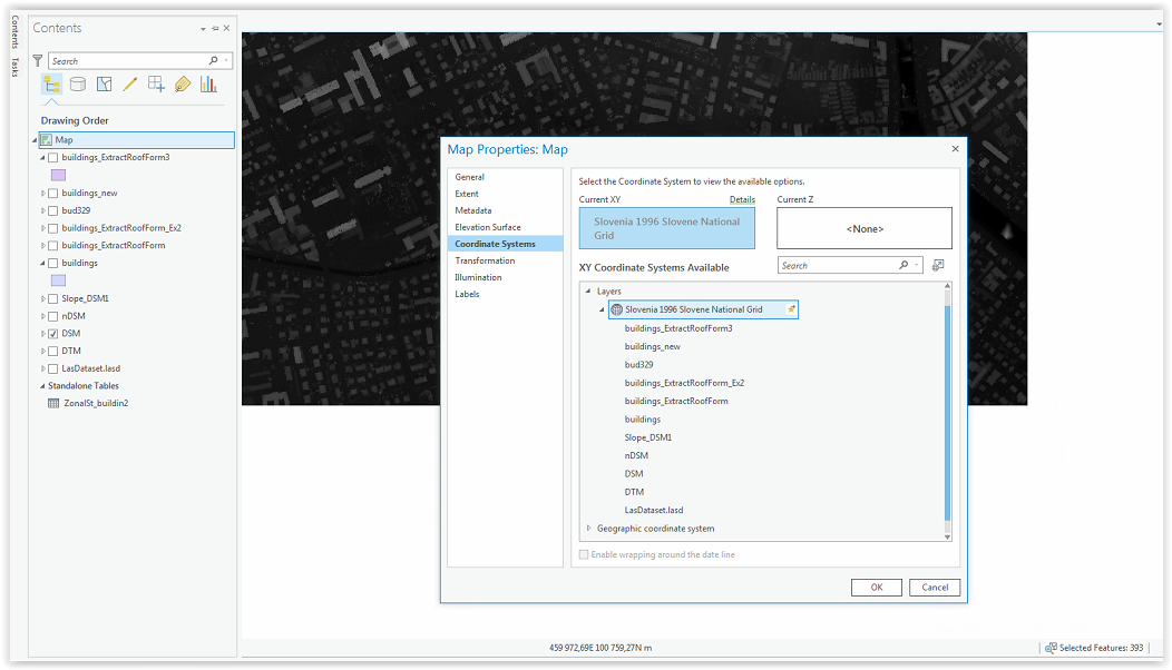
I've created completely new project and during creating LAS dataset I've set my coordinate system (EPSG 3794).
Also in map properties I've changed everything to meters, but I thing that the problem still must be with coordinate system.
Key input data in extract roof form tool:
Minimum Flat Roof Area - default 250
Minimum Slope Roof Area - default 75
Minimum Roof Height - default 8
Because all these values are in feet, I've changed them to meters according to my data.
With parameters 25/7/2,5 (in order like above) tool extracted around 60 roofs. Rest ( more than 4000) are flat
I've made an experiment and run script with values 250/75/3 (like the input data would be in feets) and the result is 400 buildings classified (3800 buildings are still flat according to analysis). It is better but still only 8% buildings were classified as gable or hip.
I have no idea where is the problem. Please help me.
- Mark as New
- Bookmark
- Subscribe
- Mute
- Subscribe to RSS Feed
- Permalink
Hello!
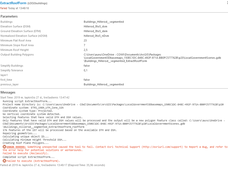
I am having a similar problem while trying to extract the roof forms of a part of Danish city Hillerod.
I have all the data required and came up to the point of extracting roof forms and it returns with ERROR:999999...
Tried iterating many times with different parameters and also tried to start from 0, but it didnt help. This is the error i'm getting, could you help me as well?
I also went through the training material with Portland data, all worked fine, it only started throwing errors when using my own data. Actually, i also cannot make it work for "Extract elevation from LAS Dataset" (throws me errors), so instead I created 3 different rasters required with ArcGIS Pro Analysis tools (LAS Dataset to Raster and Raster Calculator). Could this be a root cause? If so, how to make the "Extract elevation from LAS Dataset" task tool to work then?...
Maybe you could try out with my data and see where the problem is?
Best Regards,
Aurelija Viluckyte
- « Previous
-
- 1
- 2
- Next »
- « Previous
-
- 1
- 2
- Next »