- Home
- :
- All Communities
- :
- Products
- :
- ArcGIS Pro
- :
- ArcGIS Pro Questions
- :
- Extract data from raster map by polygon
- Subscribe to RSS Feed
- Mark Topic as New
- Mark Topic as Read
- Float this Topic for Current User
- Bookmark
- Subscribe
- Mute
- Printer Friendly Page
Extract data from raster map by polygon
- Mark as New
- Bookmark
- Subscribe
- Mute
- Subscribe to RSS Feed
- Permalink
- Report Inappropriate Content
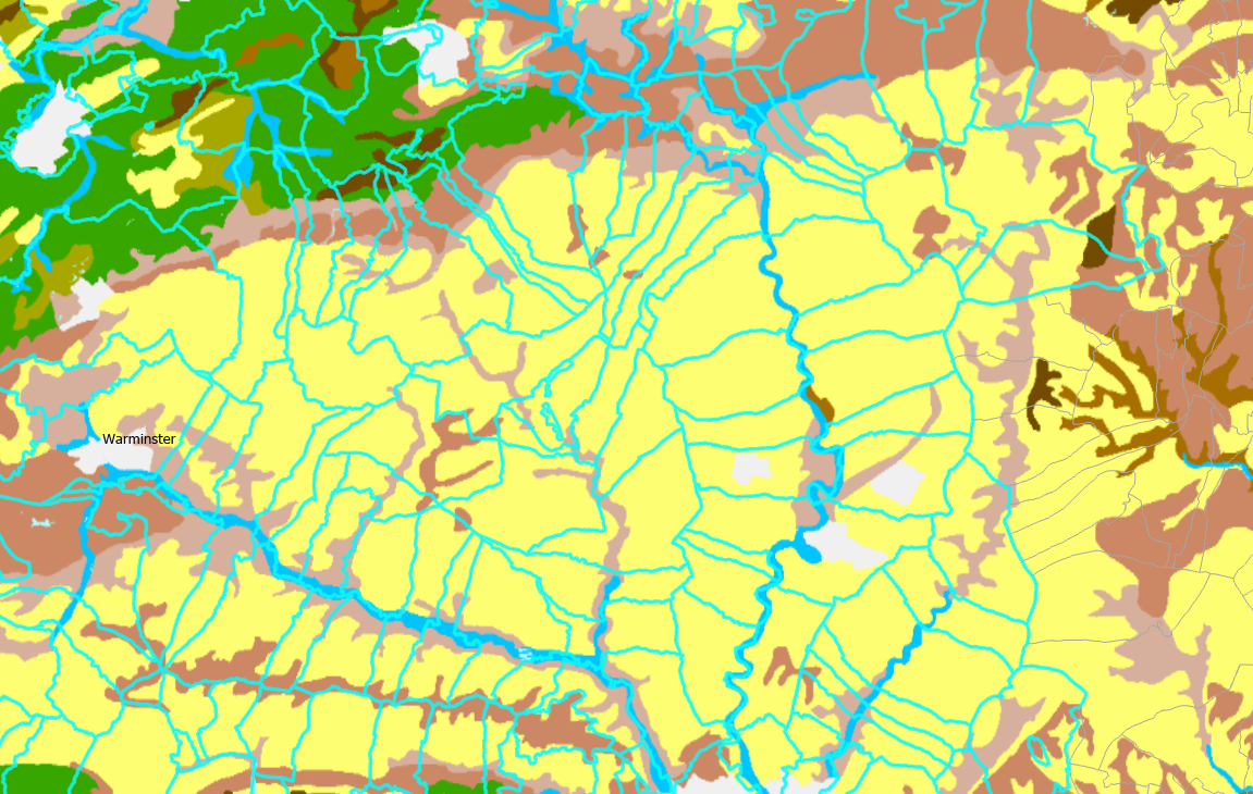
Hi, my map has two layers. One is a vector map that contains borders of a number of geographic units, and the other is a raster map of soil types. I'd like to 'match' them, and the ideal outcome is that the attribute table for the first layer would have an additional column 'Soil type', that would have the data from the corresponding area of the raster map. Is there any way to do this?
- Mark as New
- Bookmark
- Subscribe
- Mute
- Subscribe to RSS Feed
- Permalink
- Report Inappropriate Content
did you start with the extraction options? for example
Extract by Mask (Spatial Analyst)—ArcGIS Pro | Documentation
Do you want areas?
Tabulate Area (Spatial Analyst)—ArcGIS Pro | Documentation
... sort of retired...
- Mark as New
- Bookmark
- Subscribe
- Mute
- Subscribe to RSS Feed
- Permalink
- Report Inappropriate Content
Thank you. Extract by mask looks promising, but I do not need a raster map as an output. Essentially, my raster layer is a colour-coded soil map. What I want in the end is an extra column in the attribute table for the second layer, that would show the colour per each polygon. In those cases where the polygon contains areas with different colours, I'd like to get the colour that covers larger area. I can do this manually, but it's time consuming. I wonder if there is a way to automate this work.
- Mark as New
- Bookmark
- Subscribe
- Mute
- Subscribe to RSS Feed
- Permalink
- Report Inappropriate Content
Zonal Statistics as Table (Spatial Analyst)—ArcGIS Pro | Documentation
using only value and count as the statistics options then join the table to the featureclass
make sure you read this as well to see the procedural concepts
How the zonal statistics tools work—ArcGIS Pro | Documentation
... sort of retired...
- Mark as New
- Bookmark
- Subscribe
- Mute
- Subscribe to RSS Feed
- Permalink
- Report Inappropriate Content
Thank you, this should work. The only problem is that I imported my raster map as a Web Map, and the tool does not recognise it as a raster dataset. Do I need to convert it to a dataset?
- Mark as New
- Bookmark
- Subscribe
- Mute
- Subscribe to RSS Feed
- Permalink
- Report Inappropriate Content
make it a raster, preferably a *.tif stored in a folder .... which is the preferred raster format
do the web stuff after data preparation and/or analysis is complete
... sort of retired...