- Home
- :
- All Communities
- :
- Products
- :
- ArcGIS Pro
- :
- ArcGIS Pro Questions
- :
- Re: Elevation surface heights changing depending o...
- Subscribe to RSS Feed
- Mark Topic as New
- Mark Topic as Read
- Float this Topic for Current User
- Bookmark
- Subscribe
- Mute
- Printer Friendly Page
Elevation surface heights changing depending on viewing distance.
- Mark as New
- Bookmark
- Subscribe
- Mute
- Subscribe to RSS Feed
- Permalink
arcpro 2.5 3d local scene elevation surface
I am creating a local scene in ArcPro 2.5 and having issues with viewing my 3D building layer from a distance. I am using my own custom elevation surface (10m pixel size) and I have no other elevation surfaces in my TOC. My building layer is a polygon feature class with vertices interpolated from the custom elevation surface and extruded using the "Max height" setting and features are set to "On the ground" in the elevation properties.
When zoomed in close all building are sitting on the surface as expected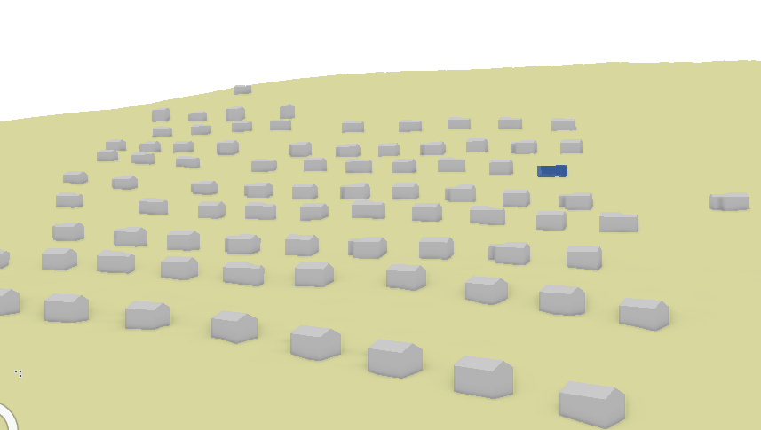
when viewing the area from further out the buildings sitting on the higher elevations start to disappear.
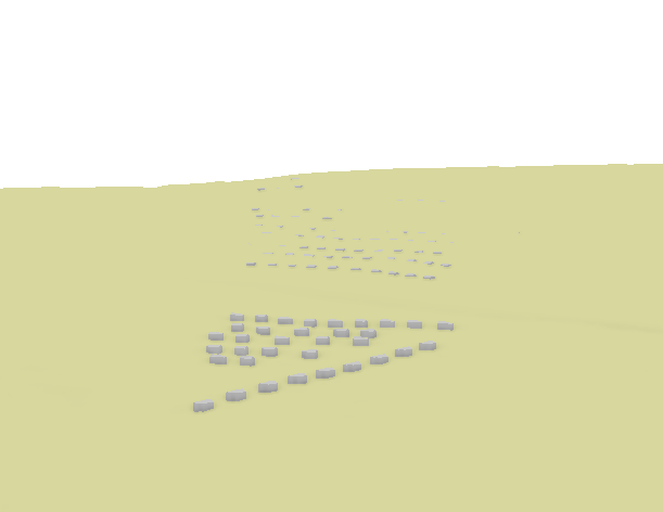
Using the swipe tool I can confirm that my buildings are drawing correctly and are still at the correct elevation but my Elevation surface seems to have gotten higher but only on the side of the hill. I don't understand this behavior. Is the elevation surface getting simplified and rendered differently when viewing a scene from a distance. I would assume that regardless of how I was viewing a scene my elevation layer should remain the same.
Any insight or ideas on what is going on in my scene would be appreciated.
Thanks
- Mark as New
- Bookmark
- Subscribe
- Mute
- Subscribe to RSS Feed
- Permalink
Oops, sorry for not clarifying. LOD = Level Of Detail - basically the "resolution" at which the elevation source is triangulated and displayed in a scene.
- Mark as New
- Bookmark
- Subscribe
- Mute
- Subscribe to RSS Feed
- Permalink
Hi
Howcome ArcGIS Earth and AGOL Webscenes shows terrain differently?
Mt. Etna seen in ArcGIS Earth:
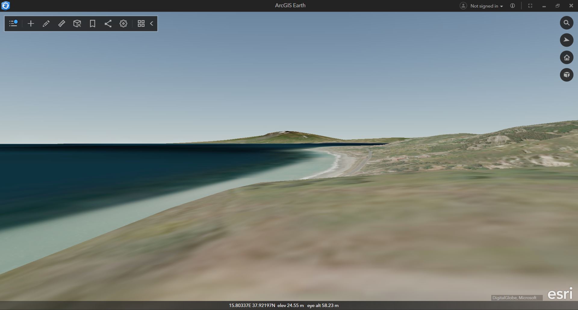
Mt. Etna seen in a webscene in AGOL:

Is there a way an AGOL webscene can maintain the highest points in the terrain, so the skyline looks more realistic?
As long as mountains are seen from well above the surface of an observaion point, they maintain their height to a certain extent.

- « Previous
-
- 1
- 2
- Next »
- « Previous
-
- 1
- 2
- Next »