- Home
- :
- All Communities
- :
- Products
- :
- ArcGIS Pro
- :
- ArcGIS Pro Questions
- :
- Downloading Rasters from Web Map Service
- Subscribe to RSS Feed
- Mark Topic as New
- Mark Topic as Read
- Float this Topic for Current User
- Bookmark
- Subscribe
- Mute
- Printer Friendly Page
Downloading Rasters from Web Map Service
- Mark as New
- Bookmark
- Subscribe
- Mute
- Subscribe to RSS Feed
- Permalink
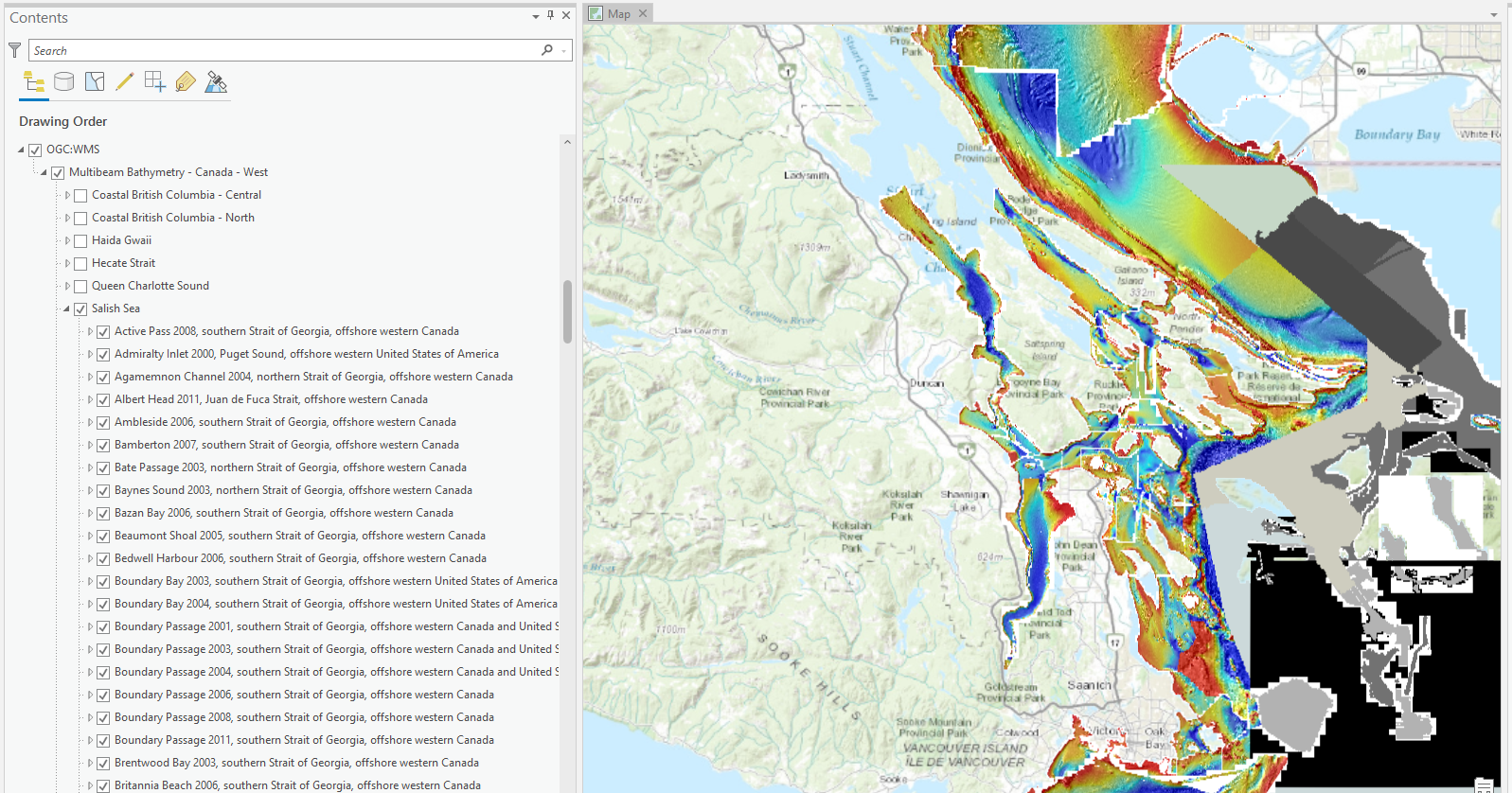
Hi there I have ArcGIS Pro 2.9 and am trying to interact with a WMS layer. I am using the MultiBeam Bathymetry map service from Natural Resources Canada. This is the website I went to: https://www.nrcan.gc.ca/web-map-services-for-marine-geoscience-data/17402 and this is the link they provide for the webmap: http://geoappext.nrcan.gc.ca/arcgis/services/GSCA/multibeam_west_e/MapServer/WMSServer?request=GetCa...
I went to add data from path and inserted the URL and was able to get the raster data to display but I can't interact with it in any way. I believe it's open data so I don't think they would limit access but I don't know. When I look up how to download rasters it's all in reference to Image Service layers which I don't believe this is. I just want to clip out a section of the rasters and then manipulate it with a terrestrial DEM to create a continuous terrestrial to bathymetric DEM. The service layer also divides the layers into a bunch of tiny layers and I'm wondering if I can get it to do just one. Attached a photo for reference.