- Home
- :
- All Communities
- :
- Products
- :
- ArcGIS Pro
- :
- ArcGIS Pro Questions
- :
- Re: Data Interoperability and GeoJSON
- Subscribe to RSS Feed
- Mark Topic as New
- Mark Topic as Read
- Float this Topic for Current User
- Bookmark
- Subscribe
- Mute
- Printer Friendly Page
- Mark as New
- Bookmark
- Subscribe
- Mute
- Subscribe to RSS Feed
- Permalink
I am running ArcGIS Pro 2.4.1 and have the Data Interoperability extension installed. However, when I try to add a GeoJSON file, it simply is not reading it (doesn't show in the add data dialog box). I also have the Data Interoperability extension for ArcGIS Desktop and I am having no problem reading the same file (I can also read it with QGIS).
I have uninstalled and re-installed the extension several times, still no avail. I would really like to resolve this issue.
Solved! Go to Solution.
- Mark as New
- Bookmark
- Subscribe
- Mute
- Subscribe to RSS Feed
- Permalink
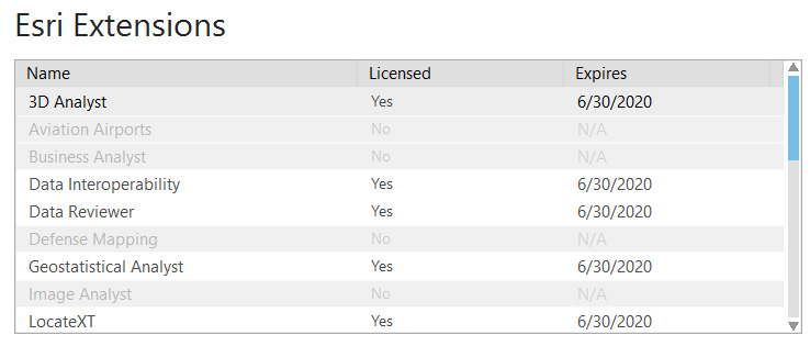
OK then that's a good question. Historically we didn't have all of FME's functionality, like raster/imagery processing and writing, but a couple of releases ago we decided to include as much of FME as possible, so now (Pro 2.4, 10.7) you'll find very few formats or transformers different - basically things we cannot license. In one area - DBMS connectivity - Data Interoperability includes connectivity you'll find only in individual targeted FME editions. Another area we differ is Data Interoperability does not publish to FME Server from within Data Interoperability Workbench - if you would like that we can take a look at it. You can use a Data Interpoerability workspace with FME Server, just not from Workbench we ship.
- Mark as New
- Bookmark
- Subscribe
- Mute
- Subscribe to RSS Feed
- Permalink
Bruce,
While it might be true that more individuals are moving away from file-based formats, they are still used extensively. For instance, there are occasions when I will have a GeoJSON file and all I need to do is open and inspect it (there are a variety of reasons for this--one of which is to ensure the GeoJSON file I created is working correctly. For instance, I will get requests for GeoJSON files from time to time). In such an instance, converting the file to an Esri-compatible format is self-defeating. Fortunately, I can just use ArcMap or even QGIS for this, though my desire would be really to stay within one environment at a time (and, sadly, the Pro conversion tool, which projects to WGS 84 and supports aliases, is superior to ArcGIS Desktop's Feature to JSON tool).
Todd
- Mark as New
- Bookmark
- Subscribe
- Mute
- Subscribe to RSS Feed
- Permalink
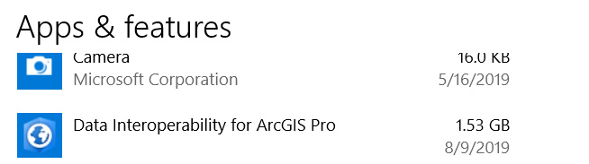
Todd. how about this: create a shortcut for the Data Inspector app at C:\Program Files\ArcGIS\Data Interoperability for ArcGIS Pro\fmedatainspector.exe and open it whenever you want to, well, inspect any data. You can browse to the data or drag files into the app. Don't forget to set your background map in the FME Options area. We're thinking of adding a control in the Analysis ribbon alongside the Workbench control to start Data Inspector. Once you are done visualizing the data you can even Save As (say) File Geodatabase, just like doing a Quick Import.
Anyone else looking at this thread, do you like the idea of surfacing Data Inspector to the ribbon?
- Mark as New
- Bookmark
- Subscribe
- Mute
- Subscribe to RSS Feed
- Permalink
I have tested this and it works. I don't find it to be the optimal solution, but it is better than nothing. I do, however, very much like the ribbon idea so that I do not have to launch the data inspector from a shortcut or from the directory.
- Mark as New
- Bookmark
- Subscribe
- Mute
- Subscribe to RSS Feed
- Permalink
https://community.esri.com/ideas/13080-arcgis-pro-direct-geojson-support
You'll note in the original text of the idea, "... load GeoJSON Features directly into a ArcGIS Pro Project without converting it.". No mention of having to (buy and) install another add on (interop or FME) to utilize the format. Leaflet, QGIS, Boundless Desktop, CartoDB, Mapbox, all support native reading of GeoJSON.
- « Previous
-
- 1
- 2
- Next »
- « Previous
-
- 1
- 2
- Next »