- Home
- :
- All Communities
- :
- Products
- :
- ArcGIS Pro
- :
- ArcGIS Pro Questions
- :
- Re: Data Interoperability and GeoJSON
- Subscribe to RSS Feed
- Mark Topic as New
- Mark Topic as Read
- Float this Topic for Current User
- Bookmark
- Subscribe
- Mute
- Printer Friendly Page
- Mark as New
- Bookmark
- Subscribe
- Mute
- Subscribe to RSS Feed
- Permalink
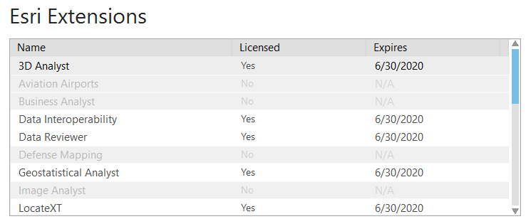
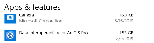
I am running ArcGIS Pro 2.4.1 and have the Data Interoperability extension installed. However, when I try to add a GeoJSON file, it simply is not reading it (doesn't show in the add data dialog box). I also have the Data Interoperability extension for ArcGIS Desktop and I am having no problem reading the same file (I can also read it with QGIS).
I have uninstalled and re-installed the extension several times, still no avail. I would really like to resolve this issue.
Solved! Go to Solution.
Accepted Solutions
- Mark as New
- Bookmark
- Subscribe
- Mute
- Subscribe to RSS Feed
- Permalink
Hello Todd
ArcGIS Data Interoperability for Pro does not support direct read of non-native formats like ArcMap does.
The GeoJSON file has to be converted to a recognized format like Geodatabase. The core tool JSON to Features can do this, or you can use Data Interoperability Quick Import or a Spatial ETL tool or interactively by starting Workbench from the Analysis ribbon.
- Mark as New
- Bookmark
- Subscribe
- Mute
- Subscribe to RSS Feed
- Permalink
Bruce, this goes against Esri's own open standards marketing hype: Open Standards | Supporting Your Data Formats, Metadata & Services Standards
Esri has a long-standing commitment to standards and interoperability. That’s why ArcGIS supports more than 100 established standards including data formats, metadata, and services.
Maybe that should read "Esri has a long-standing commitment to backing away from standards and interoperability." Having to convert the GeoJSON to a native Esri file format to consume in Pro is neither supporting the standard nor the spirit of interoperability.
- Mark as New
- Bookmark
- Subscribe
- Mute
- Subscribe to RSS Feed
- Permalink
Hi Joshua, this is one of those cases people might not thank us for introducing a weakly typed read-only layer. It would have to be like CAD, split by geometry class contained in each file and scanned for each file to figure out an attribute schema, which might change file to file. Personally, with Data Interoperability available, if i had to deal with consistent GeoJSON from some supplier on a regular basis I would create a custom format in Workbench (note to self, needs better doc) to output a designed and repeatable attribute schema every time and use Quick Import to bring the files in.
- Mark as New
- Bookmark
- Subscribe
- Mute
- Subscribe to RSS Feed
- Permalink
Hi Joshua, this is one of those cases people might not thank us for introducing a weakly typed read-only layer.
I disagree, people might not exalt Esri for introducing this functionality, but I highly doubt people would be saying, "I can't believe they implemented a weakly-typed read-only layer for GeoJSON support."
My beef on this issue isn't with Data Interoperability but with the core product. If ArcGIS Online can create a layer directly from a saved GeoJSON, why can't ArcGIS Pro; if QGIS can do it, why not ArcGIS Pro; etc....
- Mark as New
- Bookmark
- Subscribe
- Mute
- Subscribe to RSS Feed
- Permalink
While I appreciate the reply, this begs the question of what, then, is the point of the Data Interoperability extension? This is so maddening. There are times I cannot help but think Esri really doesn't want people to adopt ArcGIS Pro.
- Mark as New
- Bookmark
- Subscribe
- Mute
- Subscribe to RSS Feed
- Permalink
Todd, it is our ETL solution, here are some links to get you started:
Open Platform, Standards and Interoperability
One more point: We are seeing less file-based formats in use (barring CAD, which we support in core), and in the case of GeoJSON, the source is often a URL, which the core JSON to Features tool can accept as an input provided the URL triggers a download.
- Mark as New
- Bookmark
- Subscribe
- Mute
- Subscribe to RSS Feed
- Permalink
Bruce Harold why would ESRI decide to disable/limit Data-Interop reading GeoJSON? I know Full FME does this without question; so this was a ESRI choice.
I'm just curious of that thought process...
- Mark as New
- Bookmark
- Subscribe
- Mute
- Subscribe to RSS Feed
- Permalink
David we have the same GeoJSON support as FME in Data Interoperability, meaning in the Workbench application. Have you found any issues?
- Mark as New
- Bookmark
- Subscribe
- Mute
- Subscribe to RSS Feed
- Permalink
No I was asking as a extension of his question; we actually run Full FME Desktop and Server. We still have a license for Data-Interop; but that is used by other folks that don't need the full power and flexibility of FME.