Turn on suggestions
Auto-suggest helps you quickly narrow down your search results by suggesting possible matches as you type.
Cancel
- Home
- :
- All Communities
- :
- Products
- :
- ArcGIS Pro
- :
- ArcGIS Pro Questions
- :
- Customize Profile Graph or Elevation Profile
Options
- Subscribe to RSS Feed
- Mark Topic as New
- Mark Topic as Read
- Float this Topic for Current User
- Bookmark
- Subscribe
- Mute
- Printer Friendly Page
Customize Profile Graph or Elevation Profile
Subscribe
1808
1
10-21-2019 08:33 PM
10-21-2019
08:33 PM
- Mark as New
- Bookmark
- Subscribe
- Mute
- Subscribe to RSS Feed
- Permalink
Hello,
I have created profile graphs and elevation profiles in both ArcGIS Pro and ArcMap, but now I want to be able to label crossing feature (like road intersections, etc) along the profile. Or label an axes using a mile marker attribute from another layer instead of the default 0. Is there a way to accomplish either of these ideas?
Below you can see an attached elevation profile generated in Pro. I would like to label intersection streets from another layer and also change the horizontal axes to reference a mile marker along a route instead of starting at 0.
Thanks!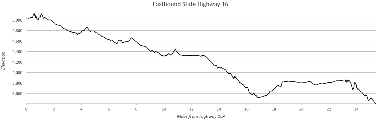
1 Reply
05-08-2020
07:33 AM
- Mark as New
- Bookmark
- Subscribe
- Mute
- Subscribe to RSS Feed
- Permalink
I would post this in the "Ideas" section. I would vote for it!