- Home
- :
- All Communities
- :
- Products
- :
- ArcGIS Pro
- :
- ArcGIS Pro Questions
- :
- Create a 3-D image in ArcGIS Pro 3.1.0
- Subscribe to RSS Feed
- Mark Topic as New
- Mark Topic as Read
- Float this Topic for Current User
- Bookmark
- Subscribe
- Mute
- Printer Friendly Page
Create a 3-D image in ArcGIS Pro 3.1.0
- Mark as New
- Bookmark
- Subscribe
- Mute
- Subscribe to RSS Feed
- Permalink
How do I create a 3-dimensional image using x,y,z coordinates and then analyze (x and y are cartesian coordinates and z is elevation above ground)?
I haven't been able to figure out how to create a 3-d image from an Excel .csv spreadsheet with x,y,z values. None of the values exist on the map itself, it's imported data.
Then after it is created, then in geoprosessing, use IDW or kriging to assign a color scheme to the image. I already know how to analyze in 2-d.
Thanks in advance!
- Mark as New
- Bookmark
- Subscribe
- Mute
- Subscribe to RSS Feed
- Permalink
I am assuming your x, y, z values represent a raster
XY Table To Point (Data Management)—ArcGIS Pro | Documentation
then
Feature to Raster (Conversion)—ArcGIS Pro | Documentation
or with an advanced license
Point to Raster (Conversion)—ArcGIS Pro | Documentation
... sort of retired...
- Mark as New
- Bookmark
- Subscribe
- Mute
- Subscribe to RSS Feed
- Permalink
Yes, the x,y,z values are a raster (cartesian coordinates for x and y, z is elevation, m is a separate value to be analyzed later).
Why would we take a raster that exists, geoprocess xy table to point and then geoprocess point to raster?
That doesn't create a 3-dimensional image, you just end up with another raster under the 3D Layers tab in the contents pane. I do have the advanced license.
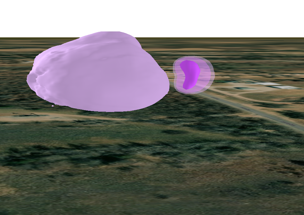
I'm wanting to create an 3-d image based on data from an imported Excel sheet in .csv format that looks similar to the attached image.