Turn on suggestions
Auto-suggest helps you quickly narrow down your search results by suggesting possible matches as you type.
Cancel
- Home
- :
- All Communities
- :
- Products
- :
- ArcGIS Pro
- :
- ArcGIS Pro Questions
- :
- Calculate acres below 200m elevation from topograp...
Options
- Subscribe to RSS Feed
- Mark Topic as New
- Mark Topic as Read
- Float this Topic for Current User
- Bookmark
- Subscribe
- Mute
- Printer Friendly Page
01-28-2023
05:02 PM
- Mark as New
- Bookmark
- Subscribe
- Mute
- Subscribe to RSS Feed
- Permalink
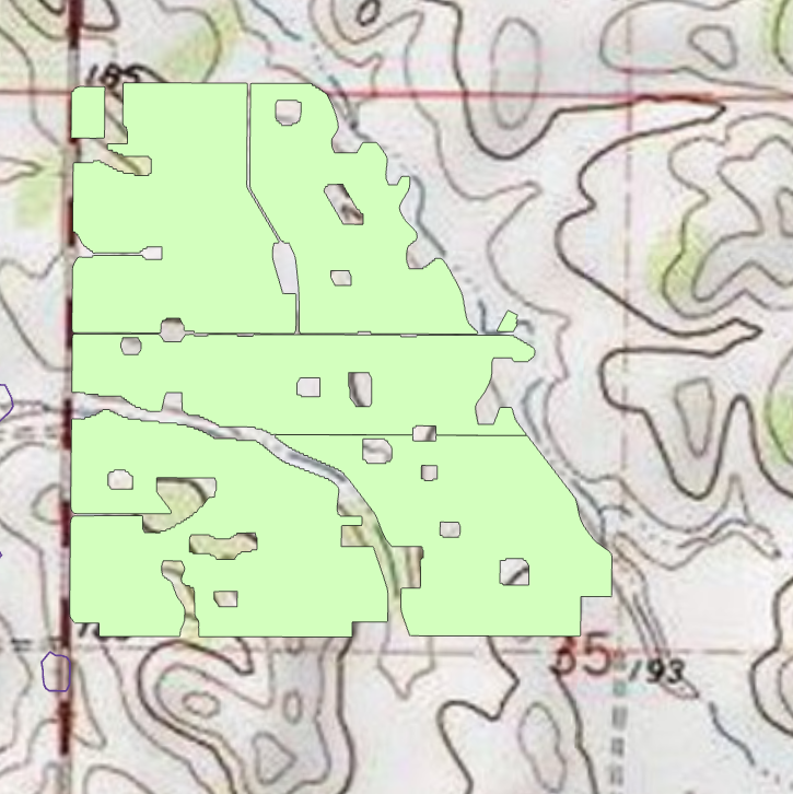
I have a vineyard boundary and am trying to get an estimate of acres that are below 200 m elevation for insurance purposes (these areas are more prone to frost damage). Rather than dealing with a DEM can i just use a topographical map to intersect below 200m? and if so where can i get a raster version? Any help is appreciated! thx
2 Replies
01-29-2023
08:09 AM
- Mark as New
- Bookmark
- Subscribe
- Mute
- Subscribe to RSS Feed
- Permalink
You could digitize the contours from the toposheet with attributes (Elevation). Then Interpolate the contours to create an Elevation Raster (using the Elevation Field of the Contours).
You could then use Raster Calculator to extract the Raster Values < 200 m.
Convert the Raster to Polygon, and intersect the Polygon with the Vineyard boundary polygon.
The resulting polygon is the area of the vineyard below 200 m.
Think Location