- Home
- :
- All Communities
- :
- Products
- :
- ArcGIS Pro
- :
- ArcGIS Pro Questions
- :
- ArcGIS Pro - How to export complete view of a Map ...
- Subscribe to RSS Feed
- Mark Topic as New
- Mark Topic as Read
- Float this Topic for Current User
- Bookmark
- Subscribe
- Mute
- Printer Friendly Page
ArcGIS Pro - How to export complete view of a Map when zoomed to full extents
- Mark as New
- Bookmark
- Subscribe
- Mute
- Subscribe to RSS Feed
- Permalink
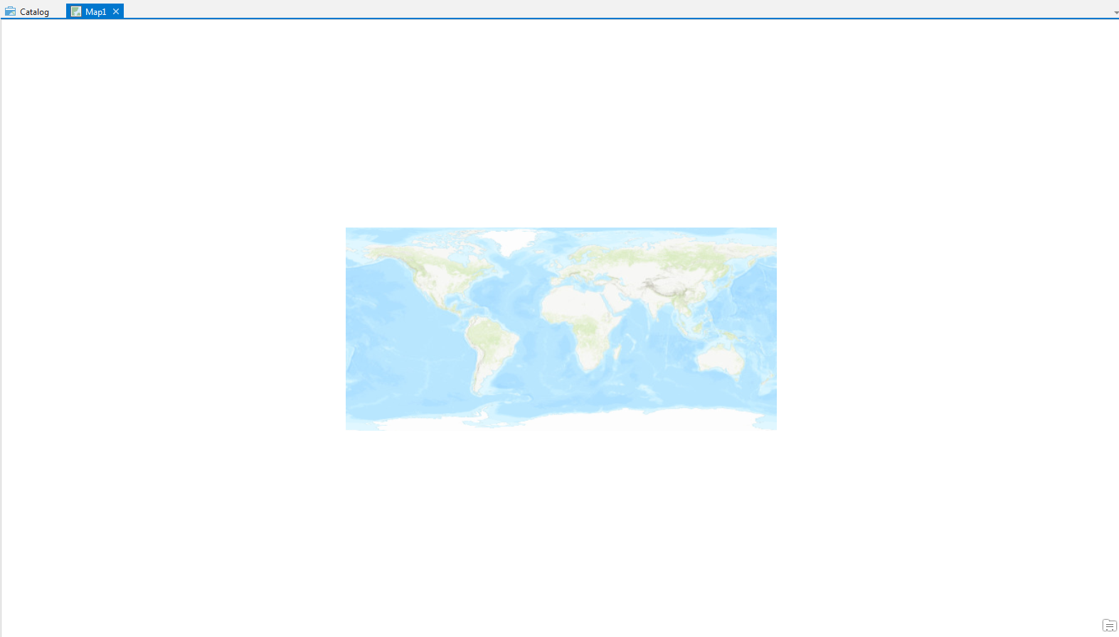
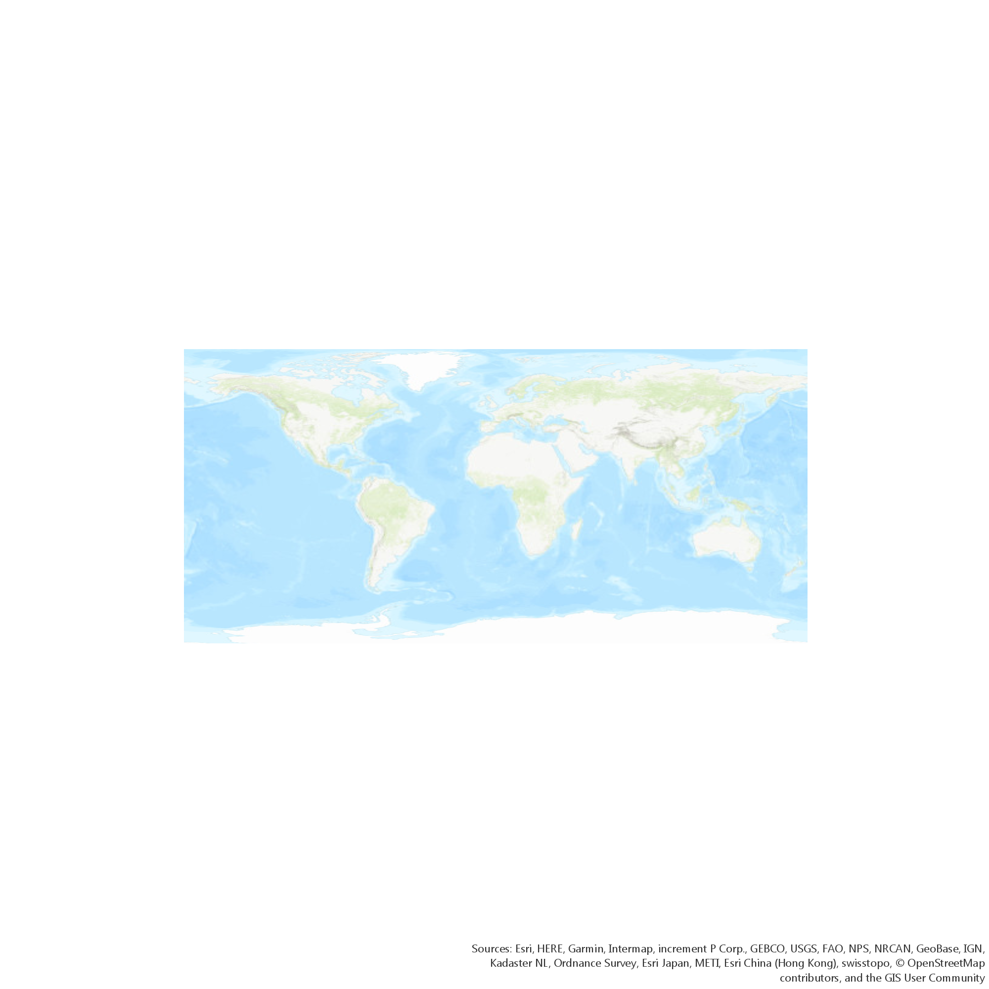
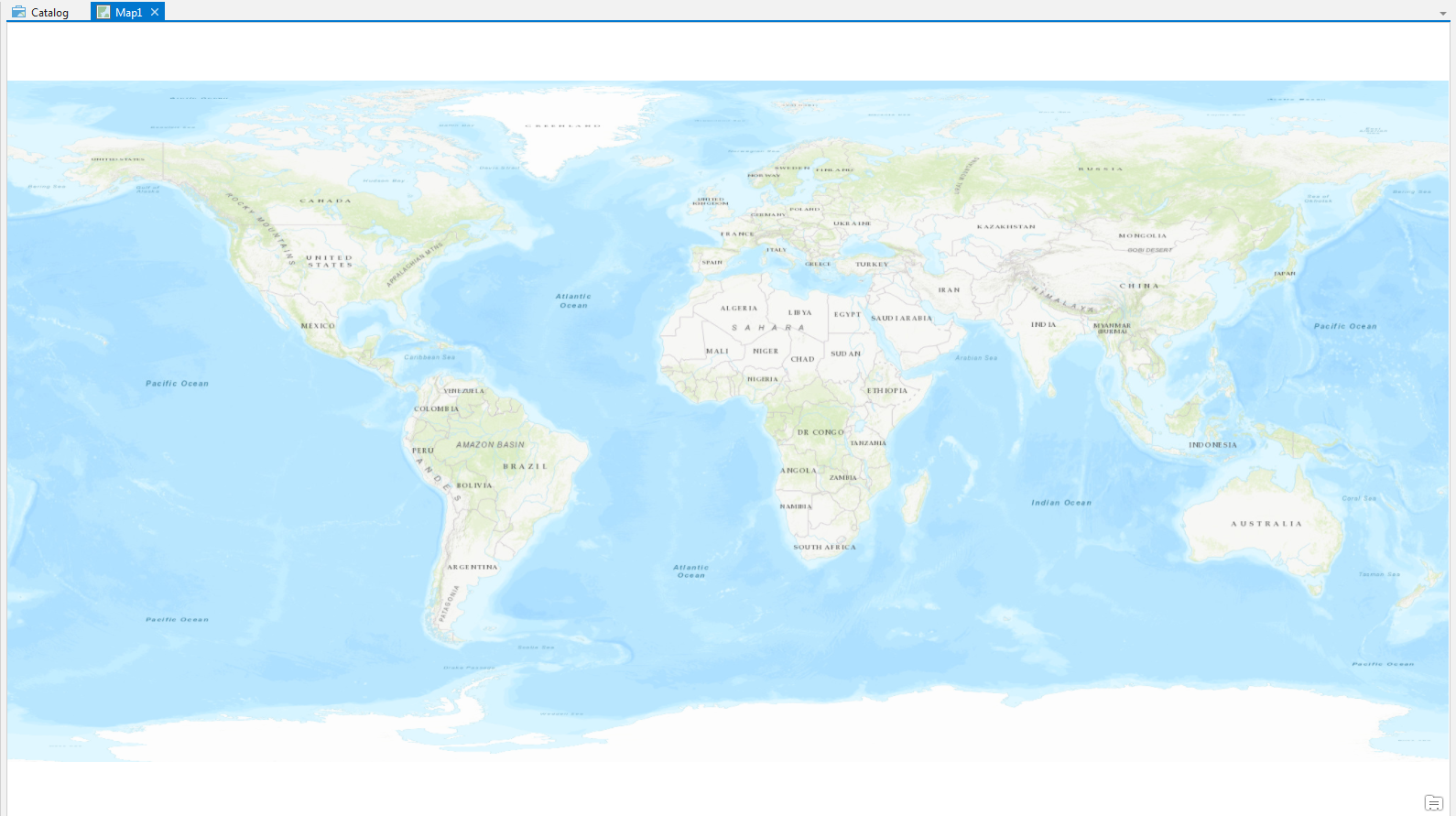
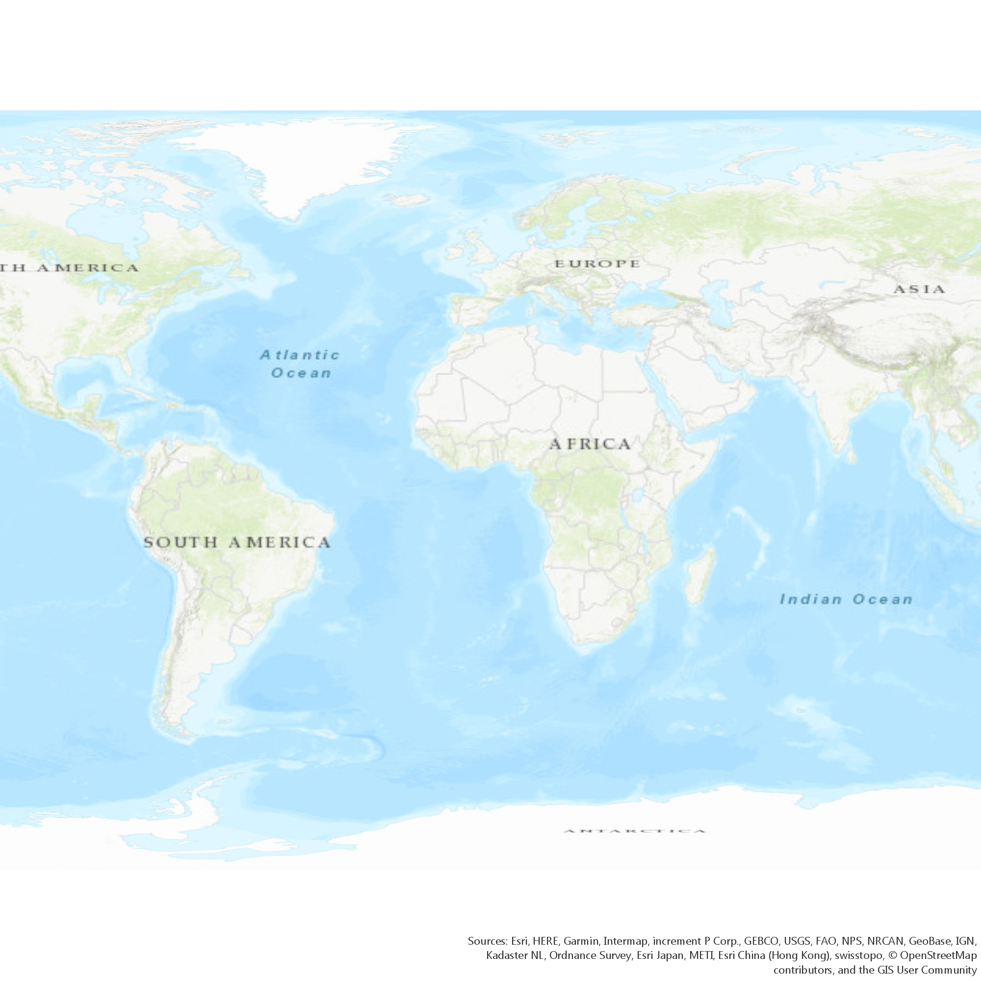
In ArcGIS Pro I am using the Share -> Export -> Map function to export a Map of the world. It is a flat map and therefore much wider than tall. When I export the map when the map view is zoomed to the full extents the resulting image file is not as wide as it should be and the edges of the world have been clipped off. If I zoom out the map view significantly (such that the map itself only fills a small area of the screen, then the exported image (while much smaller in size) shows the complete map. Since we always export a full view of the world map and only move where the map is centered at, we have selected to enable wrapping to make it much easier to move without inadvertently changing the zoom level, we'd like to be able to export from the full extent view and have the resulting image show the entire world.
I have checked the extents of the layers and they all are set to the entire world.
Is this a bug or is there something we can do so the export always matches the current map view?
I added attachments to show exactly what is happening. Map1.png is an export from the Map1 Screenshot.png and Map2.png is an export of Map2 Screenshot.png.


Thanks!
Solved! Go to Solution.
Accepted Solutions
- Mark as New
- Bookmark
- Subscribe
- Mute
- Subscribe to RSS Feed
- Permalink
Yes, I submitted it as a bug back in March of last year and looks like it is fixed in release 2.3.
- Mark as New
- Bookmark
- Subscribe
- Mute
- Subscribe to RSS Feed
- Permalink
I think this is a bug- Exporting a map (not a layout) does not honour the current view extents. Most people use landscape sized screens but all exports are square. Not only that but NONE of the extents are based off the screen view (i.e. it doesn't even create a square image based off the smallest or largest screen extent).
- Mark as New
- Bookmark
- Subscribe
- Mute
- Subscribe to RSS Feed
- Permalink
Yes, I submitted it as a bug back in March of last year and looks like it is fixed in release 2.3.