- Home
- :
- All Communities
- :
- Products
- :
- ArcGIS Pro
- :
- ArcGIS Pro Questions
- :
- ArcGIS Pro 2.5: What is the math used in creating ...
- Subscribe to RSS Feed
- Mark Topic as New
- Mark Topic as Read
- Float this Topic for Current User
- Bookmark
- Subscribe
- Mute
- Printer Friendly Page
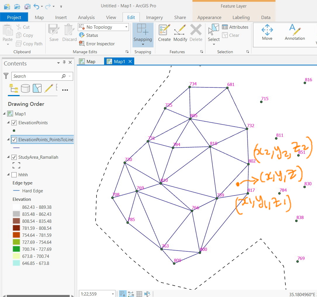
ArcGIS Pro 2.5: What is the math used in creating Triangulated Irregular Network (TIN)?
- Mark as New
- Bookmark
- Subscribe
- Mute
- Subscribe to RSS Feed
- Permalink
ArcGIS Pro 2.5: What is the math used in creating Triangulated Irregular Network (TIN)?
Jamal Numan
Geomolg Geoportal for Spatial Information
Ramallah, West Bank, Palestine
- Mark as New
- Bookmark
- Subscribe
- Mute
- Subscribe to RSS Feed
- Permalink
It isn't that simple. It is a process.
Delaunay triangulation - Wikipedia
There are many more descriptive examples on the web if you really want to know the "maths" behind the processes.
... sort of retired...
- Mark as New
- Bookmark
- Subscribe
- Mute
- Subscribe to RSS Feed
- Permalink
And why it is not simply an interpolation process that can be computed based on the set of known points?
Jamal Numan
Geomolg Geoportal for Spatial Information
Ramallah, West Bank, Palestine
- Mark as New
- Bookmark
- Subscribe
- Mute
- Subscribe to RSS Feed
- Permalink
because you have to fit a circle to 3 points, then ensure that the circle doesn't encompass any other points... then a swapping may be needed to remove thin triangles, .... then ... then....
As I said, it is a process. If you read some of the references in the link I posted, you will see that it has quite a history and a number of optimization approaches.
Most people with use scipy.spatial and the Delaunay therein rather reinventing the wheel. scipy.spatial use the "qhull" package which is pretty standard in the python world.
There is little point in reinventing the wheel. Efforts can be spent in providing the "constrained" option which qhull doesn't do (my incarnation does) using other arcpy tools
... sort of retired...