- Home
- :
- All Communities
- :
- Products
- :
- ArcGIS Pro
- :
- ArcGIS Pro Questions
- :
- 3D Multipatch layer shared as a web scene layer on...
- Subscribe to RSS Feed
- Mark Topic as New
- Mark Topic as Read
- Float this Topic for Current User
- Bookmark
- Subscribe
- Mute
- Printer Friendly Page
3D Multipatch layer shared as a web scene layer only allows "At an absolute height" using Geometry z-values. Is it possible to add z-values to my geometry from ESRI WorldElevation3D ground layer?
- Mark as New
- Bookmark
- Subscribe
- Mute
- Subscribe to RSS Feed
- Permalink
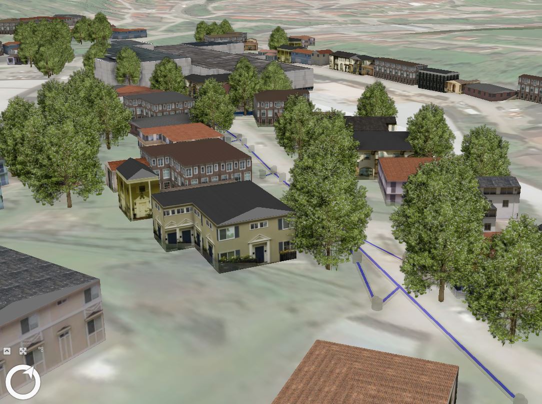
Title says all. I just spent hours to create a nice 3D scene in ArcGIS Pro that contains underground infrastructure (from an IFC file) + realistic buildings and trees from rule packages. Now I want to share this all as a Web Scene and I was surprised to find that after the 'Analyze' step ArcGIS told me 3D Multipatch layers that are to be shared as a web scene only "At an absolute height" (using geomet....
What's the technical reason behind this?
In ArcGIS Pro it looks super nice with feature elevation set to "On Ground", yet it's not possible to share this on the web. The thing is: my buildings come from Openstreetmap building footprints that have been converted into 3D multipatch features with a CityEngine rule package. Those OSM building footprints don't have a z-value, nor have I a suitable DEM for this region. So is it possible to add z-values to my geometry from ESRI WorldElevation3D ground layer somehow? Because if I use "At an absolute height", half my buildings are submerged in the hills, since this is not a flat area.....
Thanks!
- Mark as New
- Bookmark
- Subscribe
- Mute
- Subscribe to RSS Feed
- Permalink
Hi,
You can use the Layer 3D to feature class tool to burn in the elevation values from the ground source to the feature class.
- Mark as New
- Bookmark
- Subscribe
- Mute
- Subscribe to RSS Feed
- Permalink
Andrew Johnson alright, but the ESRI WorldElevation3D layer can't be used to burn in its elevation values into my polygons, right?
- Mark as New
- Bookmark
- Subscribe
- Mute
- Subscribe to RSS Feed
- Permalink
Hi,
It does work with the World Terrain service.
thanks,
Andrew