- Home
- :
- All Communities
- :
- Products
- :
- ArcGIS Pro
- :
- ArcGIS Pro Questions
- :
- Re: 2.9 Display XY data, and Coordinate Table to P...
- Subscribe to RSS Feed
- Mark Topic as New
- Mark Topic as Read
- Float this Topic for Current User
- Bookmark
- Printer Friendly Page
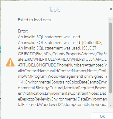
2.9 Display XY data, and Coordinate Table to Point Error Invalid SQL statement used

- Mark as New
- Bookmark
- Subscribe to RSS Feed
- Permalink
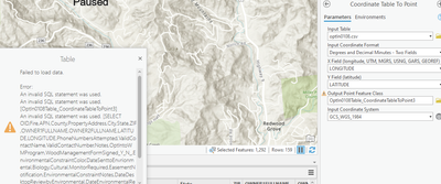
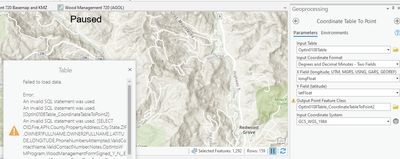
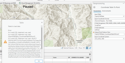
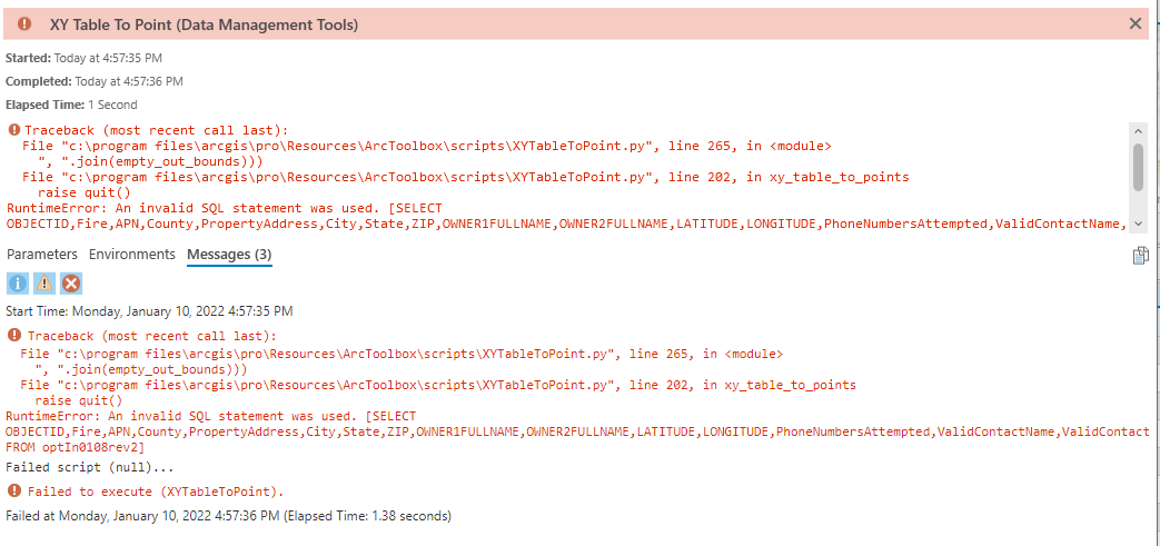
I've tried all the normal tools to get this to work, but I think the underlining code is broken.
Please help.
Solved! Go to Solution.
Accepted Solutions


- Mark as New
- Bookmark
- Subscribe to RSS Feed
- Permalink
why don't you show some of your table since I have used those tools many times.
Things that can go wrong... too many to list, but blank entries, wrong text encoding, punctuation within text, ... symbols in text (like a degree symbol) etc etc etc.
Excel to table is pretty good, but will fail if a lot of rules aren't followed. Excel to csv ... same thing.
I suspect your issue is within the table
... sort of retired...
- Mark as New
- Bookmark
- Subscribe to RSS Feed
- Permalink
DD2, aka decimal degrees, 2 fields is the default,
your field type latfloat, should work
I would suggest
XY Table To Point (Data Management)—ArcGIS Pro | Documentation
to ensure nothing is wrong fundamentally with the data ot
Make XY Event Layer (Data Management)—ArcGIS Pro | Documentation
... sort of retired...
- Mark as New
- Bookmark
- Subscribe to RSS Feed
- Permalink
@DanPatterson, can you tell me that this tool works for you in Pro 2.9?
I've tried both suggestions, and I get the error when I try to open the attribute table.
Here's my workflow;
csv file to table to points (but I haven't gotten to the points yet).
I also tried importing the Excel table to points.

- Mark as New
- Bookmark
- Subscribe to RSS Feed
- Permalink
why don't you show some of your table since I have used those tools many times.
Things that can go wrong... too many to list, but blank entries, wrong text encoding, punctuation within text, ... symbols in text (like a degree symbol) etc etc etc.
Excel to table is pretty good, but will fail if a lot of rules aren't followed. Excel to csv ... same thing.
I suspect your issue is within the table
... sort of retired...
- Mark as New
- Bookmark
- Subscribe to RSS Feed
- Permalink
Thank you everyone for you comments, I had a teammate try it on his 2.8 software and it broke, so with more digging we found a " in the header from another field.
