Turn on suggestions
Auto-suggest helps you quickly narrow down your search results by suggesting possible matches as you type.
Cancel
- Home
- :
- All Communities
- :
- Products
- :
- ArcGIS Pro
- :
- ArcGIS Pro Ideas
- :
- Set maximum zoom for ArcGIS Pro
Options
- Subscribe to RSS Feed
- Mark as New
- Mark as Read
- Bookmark
- Follow this Idea
- Printer Friendly Page
- Mark as New
- Bookmark
- Subscribe
- Mute
- Subscribe to RSS Feed
- Permalink
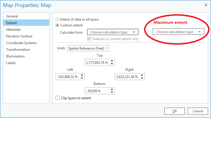
I find that the mouse roll zoom can be very sensitive and I often accidentally zoom to a scale that is appropriate for solar system mapping, the layers are then rendered slowly and the map is not usable. The solution is to hit the zoom to previous extent. The option would prevent users from accidentally zooming to an unusable extent.
2 Comments
It seems like if we had Only Display These Scales - in ArcGIS Pro it would resolve the problem because you'd be able to set scales that are appropriate for your work and then only display those when zooming...
Yes that sounds like it would work.
You must be a registered user to add a comment. If you've already registered, sign in. Otherwise, register and sign in.