- Home
- :
- All Communities
- :
- Products
- :
- ArcGIS Pro
- :
- ArcGIS Pro Ideas
- :
- Point output for Create Fishnet
- Subscribe to RSS Feed
- Mark as New
- Mark as Read
- Bookmark
- Follow this Idea
- Printer Friendly Page
- Mark as New
- Bookmark
- Subscribe
- Mute
- Subscribe to RSS Feed
- Permalink
I use the gp function Create Fishnet (Data Management) quite a bit in my workflow.
My request is to add POINT output to the function. All the logic is already in the function since the vertices have to be calculated.A grid consisting of just the points would help me out with certain tasks.
- « Previous
-
- 1
- 2
- Next »
We have many use cases. One example is we need a uniform mesh of points where we query a DEM dataset. But we are sidetracking too much on this request. In fact it is straightforward. Here is what happens roughly within the gp tool:
1. Take the inputs
2. Create vertices
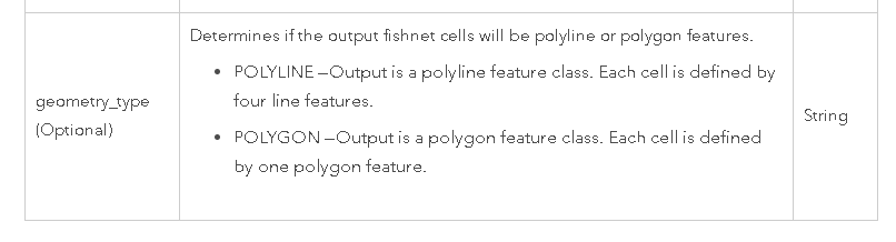
3. Create a polygon geometry or polyline geometry based on the vertices.
The point output is just about there since the points are already created in step #2. Can we make a workaround by offsetting the label points...sure but then you have an extra feature class with the actual geometry. This request is just an extension of already what happens. With a POINT output we just get the vertices as a point feature class and by default no label feature class. its that straightforward.
You must be a registered user to add a comment. If you've already registered, sign in. Otherwise, register and sign in.